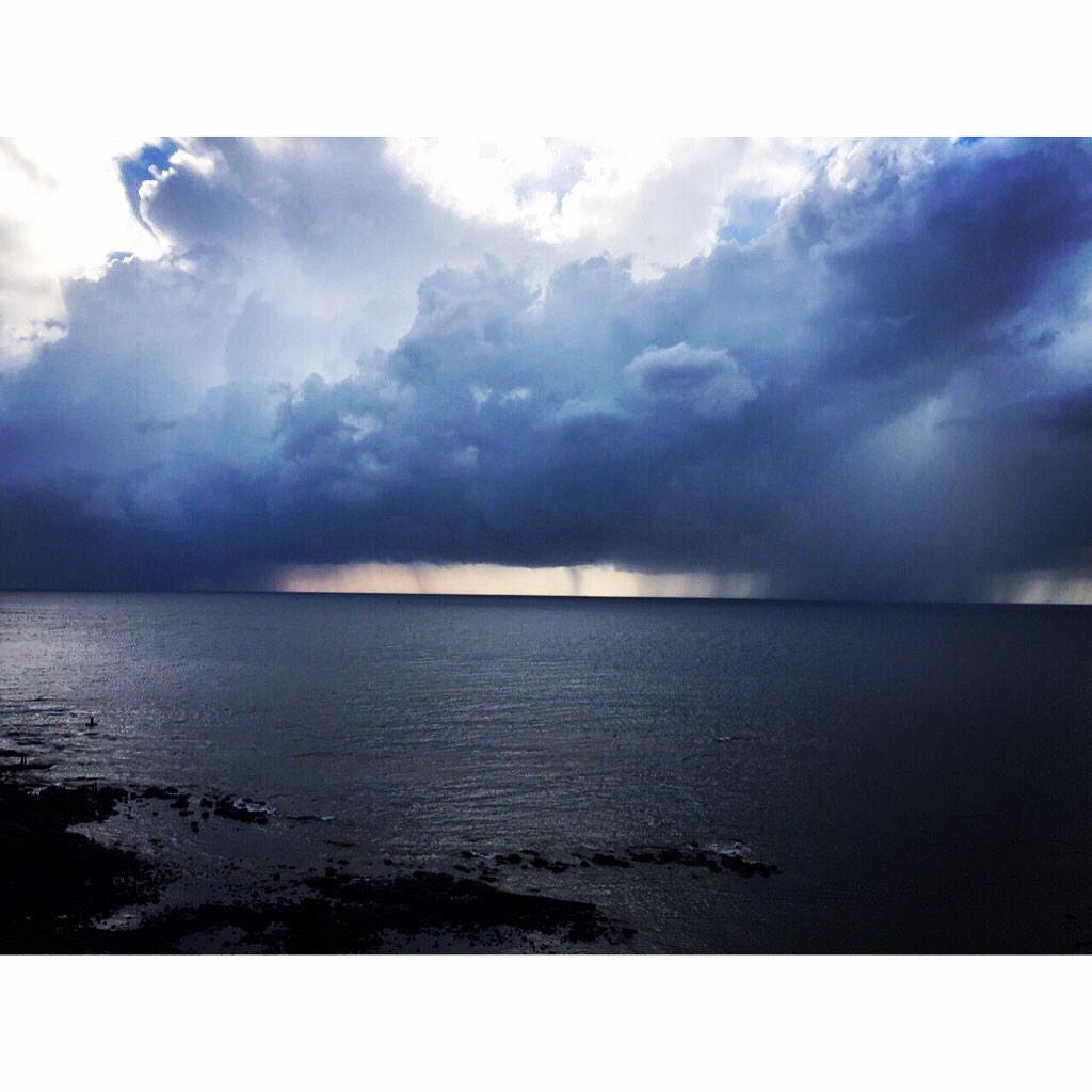
Saturday, March 07, 2015

Today evening #Delhi recorded a HEAVY T shower... 79.4mm recorded till 5:30pm.

Today, upper-level trough of W.D is seen along 76E and dipping to 28N over Pakistan ... http://ow.ly/i/8VbfG 
This W.D trough is expected to drift East into N,N-W India in 36hrs and fizzle out on Monday afternoon ... http://ow.ly/i/8Vbib 

In this process a low-level circulation will be induced over Punjab, adjoining Pakistan and drift East in next 36hrs http://ow.ly/i/8VbmI 

From now and before Monday noon...
Scattered rain for Punjab, Haryana, W Uttarpradesh, Uttarakhand... http://ow.ly/i/8Vbrz 
More snow & rain for Kashmir, Himachal and upper reaches of Uttarakhand !

Thursday, March 05, 2015

Weather Instagram at March 05, 2015 at 04:43PM

Chennai - 4:39pm, warm and humid at 30.3C. T showers over sw,w,nw from city at 50km. #weather


from Instagram

Next moderate W.D system is expected to affect N,N-W,N-central India from noon of 7-Mar... http://ow.ly/i/8T4k7 

Today, the LWD is seen along W-ghats of Kerala upto S-W Karnataka..
And
from N-E Andhra to N-E Odisha coast... http://ow.ly/i/8T2Pc 
Same kind of LWD feature over Peninsula is expected during next 2 days !

Tamilnadu rainfall stats till 8:30am, 4-Mar
Palacode (Dharmapuri Dist), Sankarankoil (Tirunelveli Dist) 4 cm.
Hogenekal (Dharmapuri Dist) 3.

Kerala rainfall till 8:30am, 4-Mar...
Mavelikara(Alapuzha dt) 9, Thodupuzha (Idukki dt.) 8, Kozha (Kottayam dt.) 5, Anchal (Kollam dt.) 3 CM

Tamilnadu rainfall till 8:30am, 5-mar...
Sankaridurg, Palacode (Dharmapuri Dist) 6 cm.
Erode, Kangeyam, K.paramathi (Karur Dist) 5.

Andhra rainfall till 8:30am, 5-Mar...
Kuppam (dist Chittoor) 6, Rapur (dist Nellore) 5, Santhipuram (dist Chittoor) 5 cm.

Before Friday, Morning...
Scattered T showers for N,central,S,W-ghats Tamilnadu, Kerala into S,S-W Karnataka, S,N-E Andhra.
Friday as well scattered T showers for W-ghats, S,N Tamilnadu, S Andhra, S karnataka, #Bangalore ... http://ow.ly/i/8T3AC 

2:30pm, T showers popping over N-E Andhra, W-ghats, S Tamilnadu ... http://ow.ly/i/8T3T1 

Tuesday, March 03, 2015

Last of the present W.D is seen affecting E-central India.
Showers expected to linger over Himachal, N Uttarpradesh, Uttarakhand for 24hrs.

Next strong W.D system is expected to affect N,N-W India from 8/9-Mar ...  http://ow.ly/i/8R62r 
RT @AxPn: Heavy rain lashes various parts of Bengaluru since early morning - Welcome Rain ! @weatherofindia (9:31am)

RT @rajugana:  Bangalore 11.20am,Dark clouds and rain in the morning. fabulous weather.. pic http://ow.ly/i/8QVnx http://ow.ly/i/8QVpT 
RT @rajugana: @weatherofindia Bangalore 11.45am, Overcast sky and slight drizzle at the moment.. http://ow.ly/i/8QVVh 

3:30pm, T showers seen along LWD from S Tamilnadu, S Kerala to N,N-E Tamilnadu to N-N-E Andhra to Odisha ... http://ow.ly/i/8R4L5 

#Chennai - 4pm, RADAR shows T showers over W,W-S-W,N-W from city at around 120 to 200km over N Tamilnadu, S Andhra.. http://ow.ly/i/8R4Rz 


Today, LWD is seen from S tip Tamilnadu to S Karnataka (thru W-ghats kerala) to central,N-E Andhra to N-E Odisha http://ow.ly/i/8R58z 
Tomorrow as well the LWD is expected to stay in same place.

From 5-Mar, the LWD will be back over W-ghats from Maharastra to S tip Tamilnadu

Showers expected ALL along the LWD on today, tomorrow... and its already happening ... http://ow.ly/i/8R5oF 
Scattered HEAVY T showers expected over W-ghats Kerala, Tamilnadu and S tip Tamilnadu, S Kerala on today, tomorrow.
On 4-Mar, Chennai and its Suburbs can have a T shower before 5pm.

Monday, March 02, 2015


RT @rajugana: @weatherofindia Bangalore 4.00pm, Sunny day.. formation of clouds in the horizons. a pic http://ow.ly/i/8Q0Ur 

RT @SkymetWeather: #Jammu-#Srinagar highway shut due to heavy #snowfall READ MORE: http://t.co/jmYscXQGSb #Kashmir @weatherofindia 


6:30pm, W.D has almost fizzled out.. cloudy with rain over Uttarpradesh, Bihar, N,central Bengal,N,central MP... http://ow.ly/i/8Q5MM 
6:30pm, Showers seen over E,S-E Kashmir, Himachal and upper reaches of Uttarakhand ... http://ow.ly/i/8Q5MM
6:30pm, T showers seen over S,N-W Tamilnadu, S Kerala and W-ghats Kerala, Tamilnadu, S Karnataka, S,central Andhra due to LWD.
LWD = Line of Wind Discontinuity 


Sunday, March 01, 2015


RT @Valprajj: Rain on windshield enroute #nagarahole , near sultan battery #iruppufalls #KeralaBorder http://t.co/oXpmlUAjFD (5pm)

RT @rajugana: @weatherofindia Bangalore 6.30pm.. Evening showers for the second day... http://t.co/o4rS2lLaFe 

RT @DianaPenty: More rain coming our way #Mumbai #Horizon http://t.co/WOt6lsQC55 (6:08pm)

Reports of Heavy rain over S-W Punjab, N-E Delhi around 10pm.

low-level circulation of W.D is now over Punjab, N Rajasthan and adjoining Pakistan ... http://ow.ly/i/8PwZR 
The low-level trough from the circulation is seen dipping S-W upto N-central Arabian sea, so Maharastra coast continue to be active.

This strong W.D system is expected to weaken / fizzle out in next 24hrs.!
9:30pm, Most of N,central,N-W,E India and N,central Peninsular India is cloudy with scattered rain ... http://ow.ly/i/8Px8U 

Saturday, February 28, 2015


Today, the LWD is seen from S Tamilnadu to N Karnataka and then to N-E... this is expected to persist for next 36hrs http://ow.ly/i/8P99h 

This LWD will pop more T showers over S,interior,W-ghats Tamilnadu, W-ghats Kerala, into S,E,N-E Karnataka, S,W,N,central Andhra in 36hrs.

S Tamilnadu HEAVY rainfall till 8:30am, 28-Feb..
Sankarankoil = 11cm
Mylaudy = 8cm
Aranmanaipudur = 7cm
Kalugumalai = 5cm.


RT @rajugana: Bangalore 3.15pm.., Sky getting cloudy.. patches of dark clouds from west..will it rain???? http://t.co/JEVk6HUKAB 
Bangalore - many zones of city got heavy T showers later in the evening !

Super W.D is now lying as a upper-level trough along 62E and dipping South upto 15N.. It'll drift East into W-coast India in next 24hrs.
By Monday morning, this upper-level W.D trough may fizzle out along W,N-W India... http://ow.ly/i/8P7UV 

The low-level circulation associated with present W.D is seen over N Arabian sea, S Pakistan, W Gujarat ... http://ow.ly/i/8P7ZY 
This low-level circulation will move N-E into India and reach to N-W India (N Rajasthan, Punjab) on Monday morning.. http://ow.ly/i/8P84i 

9:30pm, Satellite IR shows, rain and cloudy over most of N,W,central,E-central, central and S Peninsula ... http://ow.ly/i/8P8mK 
Reports of moderate/light rain over Mumbai, Badlapur and Pune today... and more ahead for these zones on Sunday !

Due to W.D, and before Monday morning...
Heavy, widespread rain for Madhyapradesh, Punjab, Haryana, S,S-W Kashmir, Himachal, N,E Rajasthan.
Moderate/heavy rain ahead for W,coast,central,N Maharastra, scattered over S,E Gujarat... http://ow.ly/i/8P8GJ 
Moderate/heavy rain ahead for Delhi on Sunday and scattered rain into W,central,E Uttarpradesh.
Showers will push to Bihar,N Bengal !