RT @neoashish: @weatherofindia A down-pour evening since 7:00 p.m. #Allahabad city

Saturday, August 17, 2013
Chennai - rain alert 6:16pm
#Chennai - 6:16pm, Moderate rain approaching city from West. Now at around 120km. It may dissipate or intensify when nearing coast at 7:15pm
~~ update at 7:40pm ~~
#Chennai - 7:40pm, Moderate showers now crossed Arakkonam and nearing Thiruvallur, Poonamalle zones... "may" reach West suburbs in 30min.
~~ update at 8:40pm ~~
#Chennai - 8:35pm, Sharp showers now pushing across city and moving towards sea. NO rain over S,S-W suburbs as of now http://ow.ly/i/2U7Ap

Rainfall in and around Chennai Region ending 8.30 am on 17.08.2013
in mm
Poonamalle – 87
RK Pet – 55
Sholinganallur – 52
Cheyyur – 52
Poondi Agro – 50
Thiruvalangadu - 50
Tiruvallur – 50
Guindy – 44
Chembarabakkam Lake - 40
Sholinghur – 40
Arakkonam – 40
Kaveripakkam – 37
Katupakkam – 36
Meenambakkam – 36
T.Nagar – 35
Poondi Lake - 35
Kancheepuram – 35
Kolapakkam – 32
Nungambakkam – 32
Tiruttani - 30
Uthiramerur - 30
Kelambakkam - 30
Sriperumbudur - 30
Kalavai – 28
Avadi – 27
Taramani – 25
Mailam – 24
Katpadi – 22
Redhills Lake - 22
Tambaram - 20
Thamaraipakkam - 20
Kalpakkam - 20
Cholavaram Lake - 18
Madhavaram – 13
Madurantakam – 11
Ennore – 10
Wallajah - 10
Amgaon gets 5097 mm in July of which 3571 mm was in 18 days
At last, we have got Amgaon, Karnataka rainfall data. It has
rained in unbelievable amounts in last week of July and first week of
August. Amgaon got mind blowing 5097
mm in July alone. Here is the Super spell rainfall in Amgaon, Karnataka
from 18th July till 4th August, 2013.
in mm
| 18-07-2013 | 132.2 |
| 19-07-2013 | 156.4 |
| 20-07-2013 | 294.4 |
| 21-07-2013 | 210.2 |
| 22-07-2013 | 222.4 |
| 23-07-2013 | 311.4 |
| 24-07-2013 | 225.0 |
| 25-07-2013 | 235.2 |
| 26-07-2013 | 220.4 |
| 27-07-2013 | 305.0 |
| 28-07-2013 | 209.2 |
| 29-07-2013 | 135.4 |
| 30-07-2013 | 100.0 |
| 31-07-2013 | 200.2 |
| 01-08-2013 | 125.4 |
| 02-08-2013 | 102.2 |
| 03-08-2013 | 206.0 |
| 04-08-2013 | 180.2 |
Total - 3571 mm in 18 days
For more Stats visit
http://www.tamilnaduweatherman.blogspot.in/
Rain in Tuticorin after a LONG time !
RT @rshivaag: @weatherofindia >> Raining at tuticorin. Wish this should be first day of northeast monsoon. Happy. (3:33pm)
Where is Tuticorin ?? http://goo.gl/maps/6k9bW "One of the DRIEST places in India"
RT @rshivaag: @weatherofindia YES raining after last year. #Tuticorin
RT @rshivaag: http://t.co/02xuywKDaj http://t.co/lJBATAfFlf unfortunately rain didnt last 30mins (3.30 to 4pm) sky clear tuticorin


Where is Tuticorin ?? http://goo.gl/maps/6k9bW "One of the DRIEST places in India"
RT @rshivaag: @weatherofindia YES raining after last year. #Tuticorin
RT @rshivaag: http://t.co/02xuywKDaj http://t.co/lJBATAfFlf unfortunately rain didnt last 30mins (3.30 to 4pm) sky clear tuticorin


Weather roundup at 3pm.. with updates from Kabarwala, Delhi, Badlapur, Bangalore
Kabarwala, S-W.Punjab - 11:30am, "Intermittent showers from morning, Rainfall till 8:30am was 14 cm"
Kabarwala - Pic of submerged agriculture fields after last evening and midnight rain ... http://ow.ly/i/2U2mc

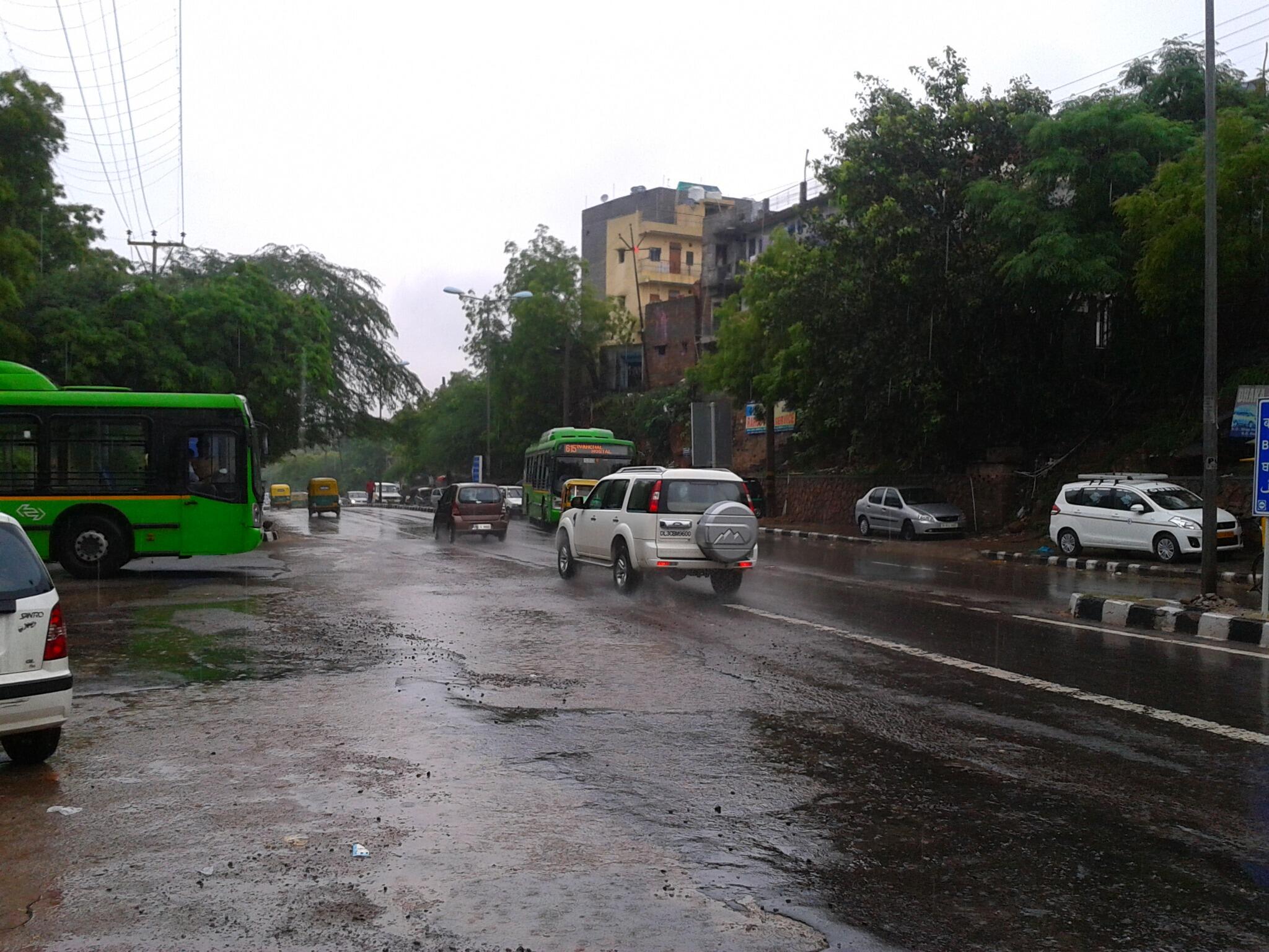
RT @ganpatteli1: Rainy morning in south #delhi @weatherofindia (7:37am)
RT @ganpatteli1: Drenched #Delhi @weatherofindia http://t.co/WFKQ3bCrpA (8:28am)
Badlapur, 9:30am - "Lovely weather, as low dark clouds almost rushing to the base of mountain".. http://ow.ly/i/2U2ti

#Bangalore - 3:06pm, "Raining in Anjanapura zone" ... http://ow.ly/i/2U2zd >> Taken from Facebook Group http://ow.ly/o0TXa

#Chennai - 3:18pm, Partly cloudy with BRIGHT sun shine. Refreshing to see SUN again after many days ! "Again showers expected after 5pm"
Kabarwala - Pic of submerged agriculture fields after last evening and midnight rain ... http://ow.ly/i/2U2mc

RT @ganpatteli1: Rainy morning in south #delhi @weatherofindia (7:37am)
RT @ganpatteli1: Drenched #Delhi @weatherofindia http://t.co/WFKQ3bCrpA (8:28am)
Badlapur, 9:30am - "Lovely weather, as low dark clouds almost rushing to the base of mountain".. http://ow.ly/i/2U2ti

#Bangalore - 3:06pm, "Raining in Anjanapura zone" ... http://ow.ly/i/2U2zd >> Taken from Facebook Group http://ow.ly/o0TXa

#Chennai - 3:18pm, Partly cloudy with BRIGHT sun shine. Refreshing to see SUN again after many days ! "Again showers expected after 5pm"
LOW over N,N-W Bay and N.Rajasthan, S.Punjab circulation
Today, LOW pressure and it's low,mid level circulation is seen along Odisha coast ... http://ow.ly/i/2U0Yw
LOW (1000mb) along Odisha coast is expected to persist along S.Bengal coast and N.Bay during next 24hrs
Another low,mid level circulation is persisting over N,N-W.Rajasthan and S.Punjab ... http://ow.ly/i/2U15l

Tomorrow, N.Bay circulation is expected to push inland thru S.Bengal, N.Odisha http://ow.ly/i/2U16a
The N.Rajasthan, S.Punjab circulation is expected to weaken in next 24hrs.
Before today late evening.. HEAVY rain expected for N,E.Rajasthan, S,E.Punjab, most of Odisha, Chatisgarh, Jharkhand http://ow.ly/i/2U1aR
Before midnight today, HEAVY rain expected for N.Chatisgarh, W,S.Jharkhand, S.Odisha and N-E.Andhra.
Scattered rain expected for S-coast, S,E.Maharastra, #Goa, N.Andhra and Bihar before morning of Sunday.
Next 2 days Till Monday morning, VERY HEAVY rain expected over N-central Chatisgarh, S,S-W.Jharkhand, W,N-W.Odisha "Flash floods possible"

Showers along Karnataka coast, N.Kerala and S-coast Maharastra during next 2 days.
During next 2 days, scattered rain possible for N,N-E.Madhyapradesh, S,W.Uttarpradesh, Haryana and #Delhi.
During next 2 days, LESS rain expected for Bangalore, S.Karnataka, N,N-E.Tamilnadu and #Chennai.. mini showers possible !
Subscribe to:
Posts (Atom)