RT @iamkanal: @weatherofindia sir here heavy rain. For last 1 hour #kochi (8:28pm)

Thursday, May 09, 2013
Upcoming Western Disturbance, Temperature dip over N.India and movement of "92B"
A strong W.D system is nearing N-W India, it's upper level circulation is expected to reach Rajasthan by tomorrow ... http://ow.ly/i/24IIm

Scattered rain due to W.D is expected for N,N-W Rajasthan, Punjab, Kashmir, Himachal, Haryana from 10-May till 13-May http://ow.ly/i/24IPo
The upcoming W.D is expected to travel across N-Central India to East India before 13-May, .. this system may affect the movement of "92B"
Due to upcoming W.D system, temperatures are expected to Dip over N,N-W,N-Central India from tomorrow till 13-May.
Today as well, the North-South trough seen from E.Uttarpradesh, Bihar upto S-W Karnataka ... http://ow.ly/i/24HuH
Tomorrow, this North-South trough is expected to drift slightly to East and will run from S.Bihar thru Central Andhra http://ow.ly/i/24Hzv
After 12-May, the North-South trough may get disturbed due to forecast intensification of "92B".
On 10,11-May, some T.showers are expected over N,N-W,N-central,N-E Tamilnadu ... http://ow.ly/i/24Ikk
T.showers over Kerala will be less during next 3 days, But scattered T.showers expected for N,N-W, Interior Tamilnadu in these days!
Strong Cross Equatorial Low level winds seen rushing towards S,S-E Bay ... Good Signs of S-W Monsoon for S,S-E Bay .. http://ow.ly/i/24IyW

Bangalore evening !
RT @rajugana: Bangalore 6.30pm, After a hot n humid day, dark clouds hover menacingly in the eve...will it rain???? http://t.co/23updTbEmf
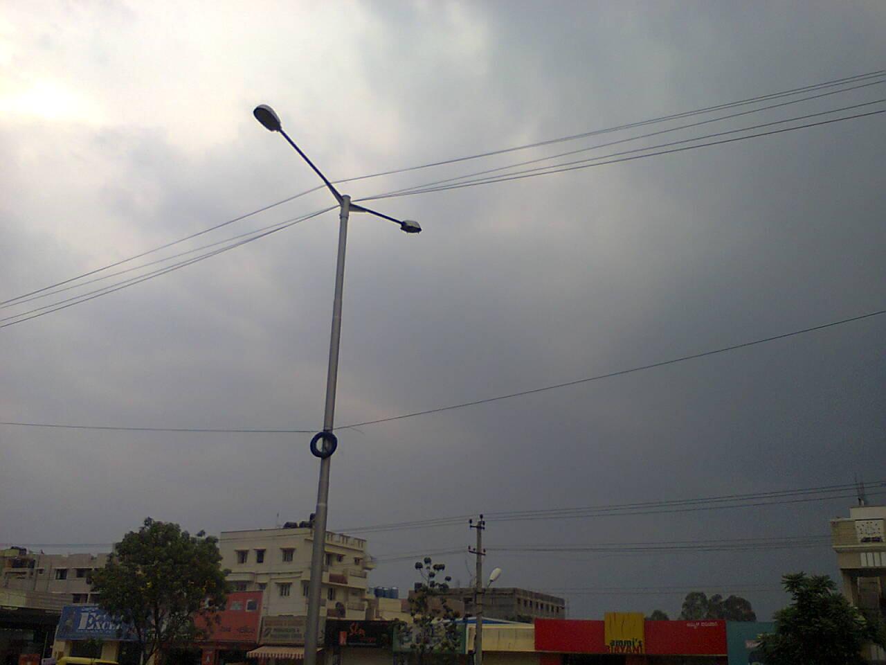
#Bangalore - 6:30pm, Temperature around 32 C, with "Few cumulonimbus clouds". Showers possible !
6:30pm, Heavy T.showers seen all over S,S-W,S-central Karnataka .. near to #Bangalore as well ... http://ow.ly/i/24GCN
Bangalore needs a Doppler Radar soon !
Update :: 7:30pm
---------------------------
RT @rajugana: Bangalore 7.30pm, Rumbling, thunder and lightning- raining now, with cool breeze, Intoxicating Smell of soil !!!
Update :: 10:30pm
---------------------------
RT @ganesh_jrg: 8:53pm Bangalore. Peaceful cloudy evening turning into a thunderous night, with a series of lightning &thunder. Drizzling
RT @valprajj: Continous rains for 2 hours @ bangalore @weatherofindia #rains #BangaloreRains #Bangalore 10:16pm
Pre-monsoon squalls kill two, injure 14 in Tripura ... http://ow.ly/kR9im
Landslides after heavy pre-monsoon rain in Mizoram ... http://ow.ly/kR9pf
Today as well the Low level circulation over Northern N-E states persists and will continue for another 3 days ... http://ow.ly/i/24Dz5
For next 3 days, Scattered Heavy rain to continue for N-E states, Sikkim and some may push into N,central Bengal.. http://ow.ly/i/24E6p
"92 B" - Persists as a weak LOW over S-S-E Bay
12:30pm, Latest analysis show that "92 B" is still a weak LOW pressure system with pressures around 1007 mb.
Latest (1:30pm) satellite IR shows "Good convective activity seen along its Southern, Western quadrants"

Current Position is 7.0N , 90.9E.

Latest COLA model suggests that the system will become as a Depression on Saturday, 11-May and expected to track N-N-W into Bay. It may end up along Bangladesh or Myanmar after 15-May.

IMD-GFS model also suggests the same as that of COLA, and predicts a landfall as Depression along Bangladesh and Bengal coast on 16-May.

Latest NOGAPS model suggests that the system will become as a Deep Depression and cross Central Andhra coast on 16-May..!

On 8-May, highest maximum temperature of 46.3°C was recorded at Nagpur (Maharashtra)
#HOT at 1pm, Nagpur = 47 C, Lucknow = 42C, #Delhi = 41C, Ahmedabad,Jaipur = 40C, Amristar, Thiruchirapalli = 39C, Kolkata = 36C, Patna = 35C
#Chennai - Yesterday max = 37.7 C, Today at 1:10pm, it was around 37 C (but feels like temp is HIGH at 47.7 C with Humidity around 54%.
Yesterday, Vellore (Tamilnadu) recorded a max temp of 42.3 C.
#Delhi on 8-May, recorded a max temp of 42 C.
Subscribe to:
Posts (Atom)