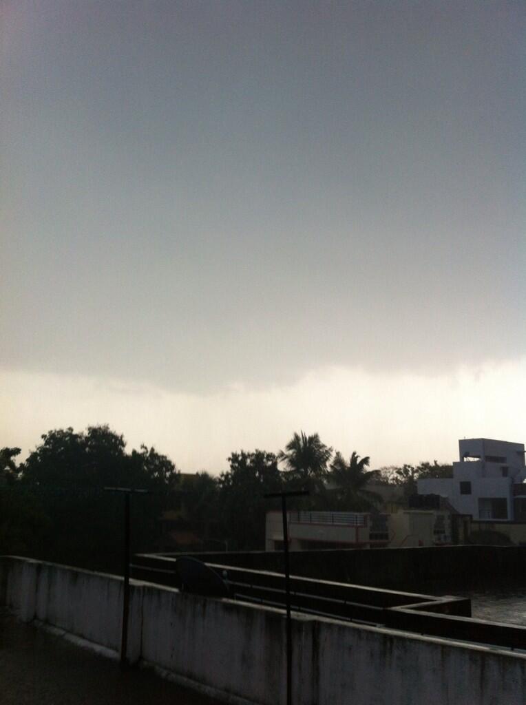
Tornadoes don't just pop into existence -- they develop out of thunderstorms, where there's already a steady, upward flow of warm, low-pressure air to get things started. It's kind of like when a rock concert erupts into a riot. Conditions were already volatile; they merely escalated into something even more dangerous.
Thunderstorms themselves form like many other clouds: A warm, moist air mass rises and cools, causing the water vapor to condense into clouds. However, if the updraft continues, this cloud mass will continue to grow and rise 40,000 feet (12,192 m) or more up into the troposphere, the bottommost layer of the atmosphere that we live in. A typical thunderstorm cloud can accumulate an enormous amount of energy. If the conditions are right, this energy creates a huge updraft into the cloud, but where does the energy come from?
Clouds are formed when water vapor condenses in the air. This change in physical state releases heat, and heat is a form of energy. A good deal of a thunderstorm's energy is a result of the condensation that forms the cloud. Every gram of water condensed results in about 600 calories of heat -- and another 80 calories of heat per gram of water results from freezing in the upper atmosphere. This energy increases the updraft temperature, as well as the kinetic energy of upward and downward air movement. The average thunderstorm releases around 10,000,000 kilowatt-hours of energy -- the equivalent of a 20-kiloton nuclear warhead [source: Britannica].
In supercell thunderstorms, the updrafts are particularly strong. If they are strong enough, a vortex of air can develop just like a vortex of water forms in a sink. This precursor to the tornado is called a mesocyclone, and is typically 2 to 6 miles (3 to 10 kilometers) wide. One a mesocyclone forms, there's a roughly 50 percent chance that the storm will escalate into a tornado in around 30 minutes.
Some tornadoes consist of a single vortex, but other times multiple suction vortices revolve around a tornado's center. These storms-within-a-storm may be smaller, with a diameter of around 30 feet (9 meters), but they experience extremely powerful rotation speeds.
The tornado reaches down out of a thundercloud as a huge, swirling rope of air. Wind speeds in the range of 200 to 300 mph (322 to 483 kph) aren't uncommon. If the vortex touches ground, the speed of the whirling wind (as well as the updraft and the pressure differences) can cause tremendous damage, tearing apart homes and flinging potentially lethal debris.
The tornado follows a path that is controlled by the route of its parent thundercloud, and it will often appear to hop. The hops occur when the vortex is disturbed. You've probably seen that it is easy to disturb a vortex in the tub, but then it will reform. The same thing can happen to a tornado's vortex, causing it to collapse and reform along its path.
Smaller tornadoes may only thrive for a matter of minutes, covering less than a mile of ground. Larger storms, however, can remain on the ground for hours, covering more than 90 miles (150 km) and inflicting near continuous damage along the way.
At this point, you might be wondering just how tornadoes eventually dissipate. Scientists still debate exactly how these deadly storms die, but one of the prime suspects is none other than the parent thunderstorm: the rotating mesocyclone. Tornadoes need instability and rotation. Disrupt the airflow, take away its moisture or destroy its unstable balance of hot and cold air, and it can't function. Often, a tornado will die because the cold outflow of air from falling precipitation upsets the balance.

