Posted on Sunday Evening:
A Low has formed just W/SW off Sri Lanka in the Gulf of Mannar. The Low, 1006 mb at sea level, extends up to 700 mb levels. This Low, is embedded in the "extended " LWD in the Central Peninsula regions.
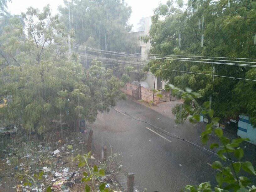
Heavy rains, 30/40 mms, are expected on Monday and Tuesday in Southern TN regions of Kanyakumari, Tirunelveli, Ramnathpuram and Tuthukodi. Southern Kerala , including Thiruvananthpuram Kollam and Kochi ( 20-30 mms, and 50 mms in Western Ghats of Kerala) will get heavy thunder showers.
Now, seeing the synotic situation and possibilities, we can first safely forecast the Low becoming Well Marked, and moving into the Arabian Sea by Tuesday.
Currently, dry air, associated with the High Pressure in the Arabian Sea, is blocking the passage onto the Western Arabian Sea region.
The current flow of 700 mb level, that is the height of the Low, is driving it Westwards, but, on deepening, we may see the NE 200 hp stream dominating. But, the 100 mb stream, now at North blowing dirction, may influence the system to track Northwards.
After Tuesday 6th May, we may see the system moving N/NW, slightly off the coast, till Karnataka coast. Due to strong SW flow at 850 hp levels, it is possible that heavy rains , > 70 mms, will pour along the North Kerala nad Karnataka coasts later in the week.
Goa may see rains by the weekend, maybe up to 50 mms in a day. We shall review this again.
The next stage will be followed, and the up date after 24 hours , Monday evening.
From Vagaries
A Low has formed just W/SW off Sri Lanka in the Gulf of Mannar. The Low, 1006 mb at sea level, extends up to 700 mb levels. This Low, is embedded in the "extended " LWD in the Central Peninsula regions.
Heavy rains, 30/40 mms, are expected on Monday and Tuesday in Southern TN regions of Kanyakumari, Tirunelveli, Ramnathpuram and Tuthukodi. Southern Kerala , including Thiruvananthpuram Kollam and Kochi ( 20-30 mms, and 50 mms in Western Ghats of Kerala) will get heavy thunder showers.
Now, seeing the synotic situation and possibilities, we can first safely forecast the Low becoming Well Marked, and moving into the Arabian Sea by Tuesday.
Currently, dry air, associated with the High Pressure in the Arabian Sea, is blocking the passage onto the Western Arabian Sea region.
The current flow of 700 mb level, that is the height of the Low, is driving it Westwards, but, on deepening, we may see the NE 200 hp stream dominating. But, the 100 mb stream, now at North blowing dirction, may influence the system to track Northwards.
After Tuesday 6th May, we may see the system moving N/NW, slightly off the coast, till Karnataka coast. Due to strong SW flow at 850 hp levels, it is possible that heavy rains , > 70 mms, will pour along the North Kerala nad Karnataka coasts later in the week.
Goa may see rains by the weekend, maybe up to 50 mms in a day. We shall review this again.
The next stage will be followed, and the up date after 24 hours , Monday evening.
From Vagaries