Tomorrow evening, Rain again expected for E,S,S-E Gujarat and N-W Maharastra.
Wednesday evening, showers again for S,S-E Karnataka, #Bangalore, central W ghats of Kerala, N,central Tamilnadu and S,central Andhra.
Scattered heavy expected for N,central,S Maharastra after evening of 9-Oct.
Moderate showers for S,S-W,W Madhyapradesh expected after evening of 9-Oct.
Showers over S,S-E Gujarat, N-W,N-central Maharastra rain can be expected on Thursday as well.
Showers can be expected along central Tamilnadu coast during next 2 days.
If "90W" becomes a Cyclone over E-Central Bay in next 36hrs, the rainfall activity over peninsula is expected to become lean.
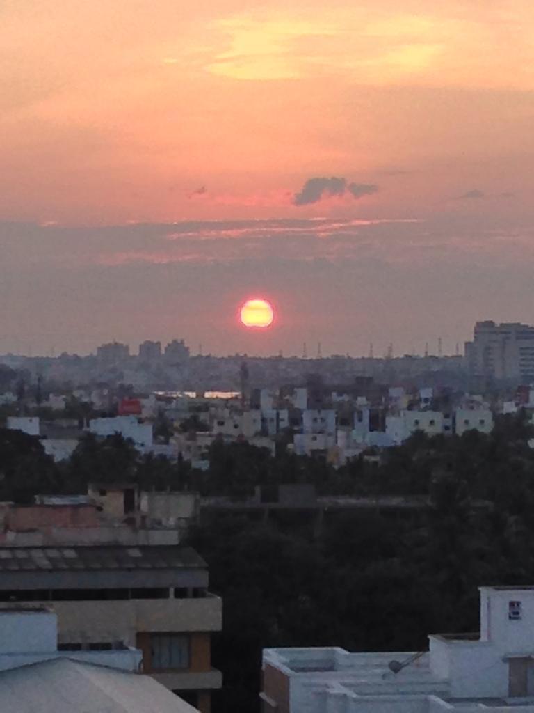
#Bangalore - more chance of T Showers for city on tomorrow evening, late evening.
#Chennai - will continue to be #HOT and Humid for next 2 days with a chance of moderate T showers towards evening, late evening.
Wednesday evening, showers again for S,S-E Karnataka, #Bangalore, central W ghats of Kerala, N,central Tamilnadu and S,central Andhra.
Scattered heavy expected for N,central,S Maharastra after evening of 9-Oct.
Moderate showers for S,S-W,W Madhyapradesh expected after evening of 9-Oct.
Showers over S,S-E Gujarat, N-W,N-central Maharastra rain can be expected on Thursday as well.
Showers can be expected along central Tamilnadu coast during next 2 days.
If "90W" becomes a Cyclone over E-Central Bay in next 36hrs, the rainfall activity over peninsula is expected to become lean.
#Bangalore - more chance of T Showers for city on tomorrow evening, late evening.
#Chennai - will continue to be #HOT and Humid for next 2 days with a chance of moderate T showers towards evening, late evening.