Saturday, August 23, 2014

Naraikadu  - 10:50am, "a violent push of SW rains since yesterday evening. Rainfall till 8.30 am is 109 mm and still going strong."

Today, the circulation is seen along N, central Kerala coast over Arabian sea .. http://ow.ly/i/6Eazg 
Present circulation is expected push North along Karnataka coast, Goa in next 36hrs ... http://ow.ly/i/6EaDM 

10:30am, HEAVY rain seen along Kerala coast, E Gujarat ... http://ow.ly/i/6EaBW 

Weather Instagram at August 23, 2014 at 11:51AM

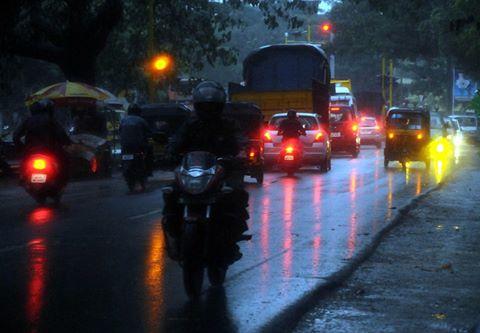
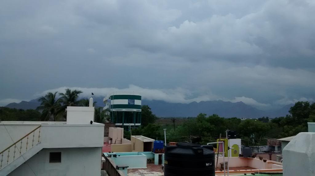
#chennai - 11:50am, sharp showers now near Tambaram. #weather . photo from Pallavaram.


from Instagram

The past one week of convective activity has transformed into a violent push of SW rains since yesterday evening. Naraikadu rainfall till 8.30 am is 109 mm and still going strong.

Friday, August 22, 2014

4:30pm, HEAVY rain over Kerala, S tip,S Tamilnadu, S,S-W,S-E Madhyapradesh, Chatisgarh, Odisha, Jharkhand, Bihar.. http://ow.ly/i/6DzjT 


RT @rajugana: @weatherofindia Bangalore 4.10pm, This Dark cloud has a Silver lining...hope it may rain!!.. sky pic http://ow.ly/i/6Dwoc 


RT @WeAreTrivandrum: #Trivandrum #Weather -  raining heavily. @weatherofindia (5:38pm)
RT @WeAreTrivandrum: Motorists were forced to turn on their lights at noon in #Trivandrum via @TvrmConnect.

 http://t.co/EzDVRKriWX 


RT @Arvind_LFC: @weatherofindia  Sathuragiri hills view from Elumalai,Madurai district after an hour rain http://t.co/p3h18PMlXT (5:47pm)

Nagercoil - 4:30pm, Raining from around 1pm.. now heavy [VIDEO] ... http://youtu.be/A63jWsJwWkk
Light rain yesterday evening as well.


Weather Instagram at August 22, 2014 at 03:27PM

#chennai - 2:10pm. Thunder cells over W,SW,WNW. Not expected to move in. #weather


from Instagram


Today as well the low-level N-S trough persists upto S Tamilnadu ... http://ow.ly/i/6Dsq3 
Low,mid-level circulation over S Tamilnadu persists ... http://ow.ly/i/6Dssj 
And even the upper-level (500hpa) circulation persists along S-E corner Arabian sea ... http://ow.ly/i/6Dsux 

From now, the mid,low-level circulation is expected to move N-N-W and push upto Karnataka coast on 24-Aug ... http://ow.ly/i/6DsxO 

Widespread HEAVY rain ahead for S,central Kerala, S tip Tamilnadu from today evening till midnight of Saturday and even into Sunday !!


RT @rajugana: @weatherofindia Bangalore 1.15pm, Sunny, hot and humid with passing clouds...,will it rain?? sky http://ow.ly/i/6DrC9 

#Delhi - 21-Aug, "At 38.4°C, hottest August day in Delhi in 12 years" ... http://ow.ly/ABg3K 
#Delhi - 1pm, HOT again 36.3 C (feels like 43 C).

12:30pm, Showers over N-W,S-W Maharastra, S Tamilnadu, S Kerala. Fresh T showers over Odisha, Jharkhand ... http://ow.ly/i/6Ds3T 

Weather Instagram at August 22, 2014 at 11:00AM

#chennai - 10:45am, good cloud formation and movement from SSE. Rain possible before 2pm. #weather


from Instagram

Outlook for Friday 22nd and Saturday 23rd August:

Thunder showers with heavy falls likely on both days along the North-South stretch from North Madhya Maharastra ( Nasik region) down Southwards into Nagar, Pune , Kolhapur, Solapur and Interior Karnataka regions (Bangalore included). Thunder showers also will be heavy in "interior" Konkan and coastal Karnataka.
Heavy falls in patches will be around 75-100 mms.
Saturday evening will see thunder showers in Marathwada also and Showers possible in Saurashtra and Surat region.

In Pakistan, Karachi area gets light rain on late Friday night/Saturday morning.
Sunday 24th: Rains decrease in the above region. Increase in rainfall in Goa.
Rains increasing in Odisha from Monday.

Mumbai: Thundery conditions and cloudy with some parts getting rain. Saturday night, Mumbai City can get heavy showers, spilling into Sunday morning. With thunder/lightning, guage can measure 35-45 mms by Sunday morning.
Very heavy rain likely in Eastern outer townships on Saturday evening.
Pune: Thunder showers on Friday, and heavier on Saturday. Possibily >35 mms on Saturday.
Kolkata: Showers likely upto 15 mms on Friday, decreasing in the weekend with sunny spells.
Delhi NCR: Only what i can write is days might touch 40c and nights 30c ! 
Parts of Delhi NCR showed the maximum toucjing 39.4c (Yamumna Complex). Palam was 39.3 c on Thursday. Nights could be warm at 29-30c.
Nagpur may get heavy thundershowers in the region on Friday and Saturday.

from Vagaries

Thursday, August 21, 2014

Rain...Rain...... going away

 In the previous post the "condensation Trail" is depicted over  Chennai.  This implies moisture at 30,000 ft .  The warm air advection will bring rain tomorrow morning.
                              or
At least clouding will be there in Chennai tomorrow [22.08.2014] morning. 

This WMO [Severe Weather Information Center-SWIC] picture indicates TS over Tamil Nadu along 10 Deg Parallel too. 
Rapid formation will be there
As the SUN is marching towards south, the south Indian ocean is slowly getting warmth.  This means strength of SWM will be reducing .

The SWM seasonal rainfall pattern for TN