Wednesday, December 07, 2016

Some rain ahead for Chennai, N-coast Tamilnadu today


After a sad day for #Chennai and Tamilnadu !
9am, moderate showers seen pushing into N-coast tamilnadu and may also push into Chennai ... https://d2jhuj1whasmze.cloudfront.net/photos/normal/pHqZP.jpg 


SE Bay is getting ready to host a Cyclone in next 48hrs !
At present its a well marked low and nearing depression, pressure around 1002mb.. https://d2jhuj1whasmze.cloudfront.net/photos/normal/pHrRW.jpg 

For upcoming Bay Cyclone ...
GFS latest has plotted a central-coast Andhra landfall.
While ECMWF has continued to plot a S Andhra landfall .. https://d2jhuj1whasmze.cloudfront.net/photos/normal/pHsUk.jpg 

More updates on this upcoming cyclone tonight ! We can get a clear track path after 48hrs or after becoming a Cyclone !
RT @navdeepdahiya55: 
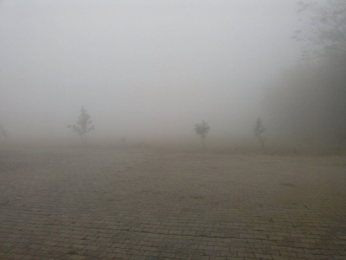
9am, Very Dense fog engulfed Delhi NCR as expected. Fog in Rohtak Right now.  https://t.co/SBdBe8Ea12

9:20am, visible satellite shows the #fog in Uttarpradesh, haryana ... http://ow.ly/fnl9306SX6i

Monday, December 05, 2016

December 05, 2016 at 04:41PM

4:37pm, a T shower is nearing Dohnavur from NE. #weather

from Instagram

Sunday, December 04, 2016

Storms 2:42pm Dec 4

Intensive storms over kanchipuram and moving W SW and moderate to heavy showers approaching Tirupathi  #Kanchipuram #Tirupathi

"Some rains"

Chennai & North Coastal TN : Moderately Unstable atmospheric conditions prevailing, Rains will happen  from noon. will be Moderate to passing heavy spells.

Image1: Could see storms approaching from Bay. West, NW & SW of Chennai seeing some intensive storm activities, till South AP

With help of remnants of "NADA" now as upper air cyclonic
circulation over Lakshadweep & neighbourhood
now lies over southeast Arabian Sea, with that help Rains will happen today in W (Nilgiris, Coimbatore) S, SW TamilNadu and Western ghats regions ,and parts of Kerala.
Image2: 24hrs Rainfall accumulation

Rains will start reducing all over Tamilnadu from tomorrow.

Invest 99W : A low pressure area has formed over south Andaman Sea & adjoining Sumatra. It is very likely to concentrate into a depression during next 24 hours and into deep depression during subsequent 24 hours.

Image 3: Convection seen in and around Andaman Heavy rains taking place currently there.

Image 4: GEFS Track of Invest 99W which likely to become a cyclone in next 3 to 4 days an will be named "cyclone "vardha" as per current it will track towards AP to orissa coast.

IMAGE 5: CHIEF AMOUNT OF RAINFALL (IN CM) RECORDED ON:04.12.2016 #TamilNadu #Chennai


12:30pm, #Chennai - Cloudy with light, moderate rain  over W,SW suburbs. A chance of rain over city lingers during next 2hrs.. https://d2jhuj1whasmze.cloudfront.net/photos/original/pBoCs.gif
12:30pm, Heavy , moderate scattered rain seen over S Andhra .. http://ow.ly/yPzm306MTMc

DRY, COLD to return to S,central Peninsula, Tamilnadu, Chennai after 36hrs


Remnant of #Nada is seen over SE-Arabian sea as a weak circulation ... https://d2jhuj1whasmze.cloudfront.net/photos/normal/pBncE.jpg 
Another LOW is slowly pushing its way into SE-Bay .. tracked as 99W.. http://ow.ly/UsFX306MS4c

Present circulation over SE-Arabian sea is expected to pop T showers ALL along W-ghats from NW-Karnataka to S Kerala in next 24hrs .
During next 36hrs, moderate rain to persist along S Andhra, NE Tamilnadu and over Chennai ... https://d2jhuj1whasmze.cloudfront.net/photos/normal/pBnrK.jpg 

99W over SE Bay is expected to track West and concentrate into a Depression in 24hrs then to may be a Cyclone in 48hrs.. https://d2jhuj1whasmze.cloudfront.net/photos/normal/pBnwD.jpg 

Due to 99W, HEAVY rain and squally weather expected over S,central Andaman Islands during next 48hrs.
HEAVY Flooding rains possible over S,central Andamans during next 36hrs ... https://d2jhuj1whasmze.cloudfront.net/photos/normal/pBo6H.jpg 

99W during next 48hrs it'll track West and after intensification it'll be steered NW into central Bay !

As 99W slowly intensifies, RAIN all over Tamilnadu will dry out in 24hrs.
And
COLD night, morning will start from monday night, Tuesday !
Dry day and COLD night,morning expected to return to most of S,central Peninsula, Tamilnadu, Chennai from monday night .. https://d2jhuj1whasmze.cloudfront.net/photos/normal/pBoes.jpg 

December 04, 2016 at 11:50AM


For more tweets follow :: @weatherofindia

Saturday, December 03, 2016

"நடா" புயல்

மழை பரவலை கொண்டு பார்த்தால், "நடா" புயல் வலுவிழந்து மூன்று நிலைகளாய் குறைந்த காற்றழுத்த மண்டலமாக கரைக்கடந்து இருக்கிறது.  அதன் மையம் நாகூர் வெள்ளார் நதி வழி புகுந்து தஞ்சை, திருச்சி, கோவை , நீலகிரி பகுதிக்கு மிகுதி மழையையும், மற்றுமோர் பகுதி ராமேஸ்வரம்,திருவாடானை, சிவகங்கை , மதுரை, தேனி, விருதுநகர் வழியாகவும்  மற்றொன்று புதுப்பட்டினம், மஹாபலிபுரம், தென் சென்னை, செஞ்சி , பூவிருந்தவல்லி, போளூர் குடியாத்தம் வேலூர் ஊடாகவும் சென்று மழை தந்து இருக்கிறது. இன்று சென்னையில் பெய்த மழைக்கும் அதுவே காரணமாம். அது மெதுவாய் தமிழகம் கடந்து அரபி கடலுக்கு சென்று நிலை கொண்டு உள்ளது.

December 03, 2016 at 03:37PM


For more tweets follow :: @weatherofindia

December 03, 2016 at 01:38PM

1:15pm, showers popping all over interior TN, S Andhra ,near and over chennai. #weather

from Instagram