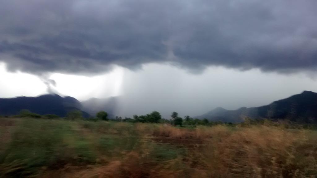
http://ow.ly/i/73rKe ... 2:50pm, Heavy rain in Ernakulam, Kerala.
RT @IamKanal: Devil rain happening for last 1 hour... @weatherofIndia #Kochi 3:15pm
Monday, September 29, 2014
Latest analysis, show that low,mid-level circulation has moved into S Arabian sea ... pic.twitter.com/TenHF5Wp1i This circulation may intensify into a Depression in next 48hrs and drift W-N-W ... http://ow.ly/i/72MXI In 36hrs, an upper-level weak circulation expected over Bihar, N-E Uttarpradesh and drift East as a trough ... http://ow.ly/i/72N8J Before morning of 30-Sep... HEAVY T showers for W-ghats of Tamilnadu, Kerala and into S-W Karnataka ... http://ow.ly/i/72NmO Due to easterlies... Early morning to mid-morning rain forecast again for central, N Tamilnadu coast, #Chennai Morning, 30-Sep... Showers expected along S,central Kerala coast and S tip Tamilnadu. Afternoon of 30-Sep... T showers again for N,central,W,S,W-ghats of Tamilnadu, W-ghats Kerala, W-Ghats,S Karnataka .. http://ow.ly/i/72NOh
The winds from UAC over southern tip leads to easterly and as the phenomenon was associated with UAC a temporary relief from rain occurred in west coast for a brief period. As SWM becomes active and UAC deepens again rain bearing clouds engulfed western coast. However the upper winds are SEly
12:30pm, A weather photo from Karaikal, Tamilnadu ... "Thunder cells build up seen" ... http://ow.ly/i/71MY9
One should NOT get confused with the prevailing EASTERLY now [270914/1047 hrs IST] . The strengthening of SWM cloudsin the Bay from SWly direction and the possible drift is due to upper winds . If this clouds move towards INDIAN EAST COAST, then there is a possibility of [heavy] rainfall in TN coast /AP coast coming perhaps from SEly direction
Similarly the drifting of clouds in Arabian sea to further west indicate clearing of RAINFALL immediately in the west coast. But the strengthening of SWM clouds from the winds from HIGH PRESSURE located about 2000 km SE of KANYAKUMARI is drifted by upper level SEly winds. The resultant wind some time may be in different direction [Northerly] Then rainfall course will be changing.{/?/?]