Sunday, August 31, 2014

RT @pvvn4u: Unstoppable rain in #Mumbai from last night. Thank god its Sunday. Just be at your home and tweet. #Twitter 12:42pm.

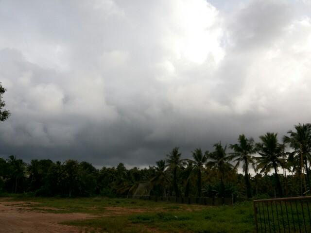
RT @WeAreTrivandrum: Itz a sunny sunday today! No showers till now! #Thiruvananthapuram #trivandrum @weatherofindia 1:54pm

Come September ..... Second summer rainfall

சூரியன் செப்டம்பர் மாதத்தில் இந்தியாவின் தெற்கு பகுதியான தமிழகம் உள்ளிட்ட தென் பகுதிக்கு வந்துவிடும். இந்திய பெருங்கடலின் தென் பகுதியில் வெப்பம் பரவ ஆரம்பிக்கும் நேரம் இது.  எனினும் மோரிஷியஷுக்கு அருகில் 'உயர் காற்று மண்டலம்" வலுபெற்று உள்ளது. 
இதனை படங்கள் உறுதி செய்கின்றன. இதன் காரணமாக இந்தியாவின் மேற்கு கரை ஓரம் மீண்டும் மழை வலுப்பெறும்.  

 This precipitable water  indicated atleast 50mm rainfall over TamilNadu and above 60mm above Mangalore coast to Gujarat coast.

According to midnight GFS model...
Chennai, NE Tamilnadu - today is expected to get showers around noon and into evening.
Almost 60% chance of rain today.

Saturday, August 30, 2014

Weather Instagram at August 30, 2014 at 10:55AM

#chennai - 10:50am, partly cloudy, getting hot with breeze around. Moderate rain expected after 3:30pm. #weather


from Instagram

Thursday, August 28, 2014

Weather Instagram at August 28, 2014 at 06:58PM

#chennai - 6:45pm, a mild evening. Light rain expected after midnight. #weather


from Instagram

#Chennai - Today, Friday - there's a 20 to 30% chance of T shower after 5pm.
Overall less rain forecast for Tamilnadu during next 2 days.

@ssg89 >> NO rain expected for much of N,N-central,N-W India (including #Delhi ) during next 2 or days.
Signs of Monsoon withdrawal seen !

Latest analysis show a strong low-level circulation over Bay near to N-E Andhra coast, S Odisha coast ... http://ow.ly/i/6Ham6 
A weak low-level circulation also seen over Uttarpradesh as well.

Present Bay circulation is titled S-S-W with height.
700hpa / mid-level circulation is near to N-E Andhra coast .. http://ow.ly/i/6Haq8 
At 500hpa / upper-level the circulation is near to S-central coast of Andhra ... http://ow.ly/i/6Harb 

At low,mid-levels the circulation over S,S-W Rajasthan persists even today ... http://ow.ly/i/6HatI 

11am, Due to this Bay circulation... HEAVY convective activity seen along central Andhra coast and central Bay .. http://ow.ly/i/6Havy 
11am, HEAVY rain persisting along Karnataka coast, rain also over S Madhyapradesh, Odisha, S Bengal ... http://ow.ly/i/6Havy

In 42hrs, the low,mid-level circulation from Bay is expected to push into N-E,N-central Andhra coast and drift N-W .. http://ow.ly/i/6HazW 
The upper-level circulation will push into S-central coast Andhra and drift N-W into inland in next 42hrs ... http://ow.ly/i/6HaE2 
Bay circulation after crossing into N-E Andhra, the low,mid-level circulation expected to pop into Arabian sea along Mumbai coast on 31-Aug

Rainfall alert for next 42hrs
~~~~~~~~~~~~~~~~~~~~~~~~

HEAVY rain along Karnataka coast to persist during next 2 days.
Scattered rain will persist along N,central Kerala.. http://ow.ly/i/6HaMl 
Before morning of Friday...
HEAVY rain for N,N-E,E Karnataka, N,N-W,N-E,central Andhra into S-E,E Maharastra .. http://ow.ly/i/6HbgB 
Before today late-evening, scattered T showers for S Chatisgarh, Jharkhand, Odisha and S,N Bengal .

Friday - mid morning, afternoon, evening ..
Scattered HEAVY rain for N-E,N,N-W,central Andhra and push into S,central,E Maharastra.
Friday and into morning of Saturday, scattered HEAVY rain for N,N-E,N-central,E Karnataka ... http://ow.ly/i/6HbpC 
As the circulation pushes N-W..
Heavy showers for S,S-W,central,S-E,N,N-W Maharastra on Friday and into Saturday... http://ow.ly/i/6Hbsf 

Wednesday, August 27, 2014


RT @WeAreTrivandrum: Cloudy #trivandrum. Chance for an evening shower! #Thiruvananthapuram #Kerala  http://t.co/kO1zyTzYhu (5:22pm)

RT @WeAreTrivandrum: Yes! It is raining here now at #trivandrum, after 2 days!! #Kerala @weatherofindia (5:59pm)

Weather Instagram at August 27, 2014 at 03:42PM

#chennai - 3pm, a mild and fully cloudy day so far. Showers possible after 7pm. #weather


from Instagram


As expected a circulation has formed at all levels over Bay.
Sea level circulation is seen over N-central Bay ... http://ow.ly/i/6Gslu 
The mid,upper-level circulations are slightly tilted to S-S-W.
Upper is seen over W-central Bay ... http://ow.ly/i/6Gsp2 

1:30pm, Due to circulation over Bay.. it is very active over central,West Bay ... http://ow.ly/i/6GsqJ 
1:30pm, Heavy rain along Karnataka coast and N,central Kerala ... http://ow.ly/i/6GsqJ