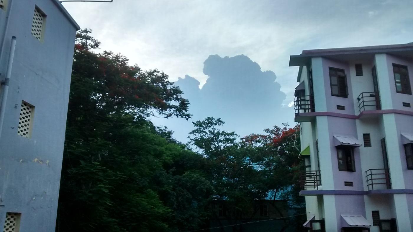
Monday, August 11, 2014


Today, the upper-level circulation is seen over Chatisgarh, N-WW Odisha.... http://ow.ly/i/6w7KH 
This, upper-level circulation is expected to weaken and drift North into E Uttarpradesh, W Bihar, and persist for next 2 days !

Today, low,mid-level circulation is seen over Jharkhand, N Chatisgarh, S Bihar... http://ow.ly/i/6w7YT 
This low,mid-level circulation is also expected to fizzle out over E Uttarpradesh in next 36hrs.

On 16/17-Aug, GFS model continue to predict a strong low,mid,upper-level circulation over central Bay !! http://ow.ly/i/6w87v 

5:30pm, T showers over E Rajasthan, N Madhyapradesh, W,S-W Uttarpradesh, N,N-E Andhra ... http://ow.ly/i/6w8c9 
5:30pm, T showers again over N,N-E,N-central,S-central Tamilnadu ... http://ow.ly/i/6w8c9
5:30pm, Showers continue over Kerala... "and more HEAVY rain ahead "... http://ow.ly/i/6w8c9

Thiruvarur - 6:23pm, "Thunder cells are near" ... http://ow.ly/i/6w8FT 

6pm, #Chennai - Showers seen over W,W-N-W,S-S-W from city at around 60 to 80km.
Now approaching city from W-N-W.
#Chennai - 6:15pm, In next 1.5hr... moderate rain to affect N-W,W,S-W suburbs and some parts of city !

Sunday, August 10, 2014

SOUTH INDIAN OCEAN weather indications

Kenya wind

As reported from MOMBASA
(04.03S 39.61E 55m)
Wind speed at 12 UTC 10 Aug 2014 was  80 knots or 41 m/s from 110 degrees or ESE.


METEOSAT GLOBAL


RSMC NAIROBI
The above global imagery INDICATES that SWM activity is centered below 15 Degree Parallel [Between  Ratnagiri and Visakapatinam axis] 

More rains for Karnataka, Kerala and even too TAMILNADU

CHENNAI will get rainfall

SWM RF is slowly gaining and reaching NORMAL

Weather Instagram at August 10, 2014 at 06:32PM

#chennai - 6:31pm, raining now over chromepet zone. #weather


from Instagram


Today, the North Bay low,mid-level circulation has drifted inland and now over Jharkhand, W,S-W Bengal .. http://ow.ly/i/6vCCz 
This low,mid-level circulation is expected to move W-N-W upto N-E,E Madhyapradesh, S Uttarpradesh and fizzle out over central UP in 48hrs

On 12/13-Aug, S,S-central Rajasthan is expected to pop a good mid-level circulation and may drift E-N-E ... http://ow.ly/i/6vCGF 

Today, the upper-level circulation is seen over N,N-E Odisha and adjoining Jharkhand... http://ow.ly/i/6vCHS 
This upper-level circulation may weaken in 24hrs and linger into N Chatisgarh and then into E UP, W Bihar in next 2 days .

4:30pm, Showers continue along Karnataka coast, Kerala, T showers over N-W Tamilnadu ... http://ow.ly/i/6vCN9 
4:30pm, Heavy rain over S Haryana, N-W Uttarpradesh, S Odisha ... http://ow.ly/i/6vCN9

Today, the upper-level circulation persists along N-central coast of Tamilnadu ... http://ow.ly/i/6vCn1 

More showers forecast for N-W,N,N-E,central Tamilnadu, #Chennai before 12am today !

#Chennai - 4:25pm, a T shower system is approaching Arakkonam zone at around 70km N-W from #Chennai city .. http://ow.ly/i/6vCrR 
#Chennai - 4:50pm, a T shower is nearing from W-N-W ... expected to affect West, N,N-W suburbs before 6pm.

Almost a similar upper-level circulation is expected to pop again over S-W-central Bay on 13-Aug and move west .. http://ow.ly/i/6vCA4 


#Chennai - evening of 9-Aug


Gou2amAug 09, 5:53pm via Mobile Web (M5)
@weatherofindia rain clouds approaching chennai...hoping for some heavy rainpic.twitter.com/XdKXjUSY8Z

OMG look at the sudden change of climate in#chennai @weatherofindia #Beautifulpic.twitter.com/r4dShrWYzg

#Chennai - evening of 9-Aug, got scattered light rain...
Nungambakkam 3mm
Airport 4.4mm
IWM Polichalur 4.8mm
... http://ow.ly/A9VAy 

Saturday, August 09, 2014

Weather Instagram at August 09, 2014 at 11:16AM

#chennai - 9:20am, high cloud cover after yesterday rain. Nungambakkam 25.5mm, Airport 33.9mm, IWM polichalur 18.9mm. #weather


from Instagram

Friday, August 08, 2014

Weather Instagram at August 08, 2014 at 09:17PM

#chennai - 9:10pm, central zone continue to receive more rain. #weather


from Instagram


Nagercoil - 11:30am, "Raining after a long time in this Monsoon season" ... http://ow.ly/i/6uHjw