Monday, May 05, 2014

Tonight, early hrs - Rain ahead for N,central Tamilnadu coast and #Chennai


Lots of T showers seen over N,N-central,E,E-central India and over N-E, W, S Peninsula ... http://ow.ly/i/5sA9l 
5:30pm, lots of T showers along West Karnataka ... http://ow.ly/i/5sA9l

7:30pm, moderate showers has popped near N,central Tamilnadu coast, expected to push into coast, #chennai after 12am http://ow.ly/i/5sBjq 

It's May but still Dry & Hot weather like March in N.Konkan !


Thane Enviro max temp 37.7°C with min humidity of 30% today.
Thane IMD max temp 38.4°C with min humidity of 30%today.
Badlapur max temp 38.5°C with min humidity of 25% today.
Karjat estimated max temp 41.0°C with min humidity of 17% today.

Meanwhile, the low-level circulation over S,S-central Uttarpradesh persists with a trough seen upto S-W Maharastra, N-W Karnataka.
Scattered T showers expected over central,W Uttarpradesh today and tomorrow !

More, T showers ahead for S-W,S,central, N Bengal on Today, Tomorrow !
And widespread T showers over N,central zones of N-E states to continue till 8-May ... http://ow.ly/i/5st0S 

Gulf Mannar circulation - update and forecast - "More rain ahead for S Tamilnadu, S Kerala"


Today morning, the Gulf Mannar circulation is seen over S-W,W Srilanka and along Gulf Mannar... http://ow.ly/i/5sqCg
The circulation can be seen from low-levels to 700hpa level and even a weak one at 500hpa level... http://ow.ly/i/5sqFI
At sea level below the circulation the pressure is around 1006/1005 mb !

In next 24 to 36 hrs, this circulation and LOW is expected to drift into S Kerala, S Tamilnadu ... http://ow.ly/i/5sqNV
According to GFS model, this system is expected to travel North along Kerala and reach central Karnataka coast on 7-May.
This system is expected to push into N-W Karnataka on 8-May and weaken !


Before tomorrow evening, HEAVY scattered T showers expected over S,S-central,S-E Tamilnadu and S,central, W-ghats Kerala.
Widespread rain expected for S tip Tamilnadu and S Kerala on today, 6-May ... http://ow.ly/i/5srOz 
And depending on the movement of circulation, Heavy rain along Kerala coast is expected on 7-May.
Due to this circulation, moisture push is expected ALL along Tamilnadu coast, #Chennai and more scattered T showers expected tonight, 6-May.

RT @markiv_in: @weatherofindia @chennaiweather strong winds and rain in Trivandrum now (2:47pm)

RT @Parthantino: Steel & Grey over Trivandrum :) #rain #happiness http://t.co/fzWD8uLehQ (3:12pm)
RT @MSadasivan: Heavy rain in Trivandrum! (3:02pm)

Chennai summer - "raining like N-E monsoon"

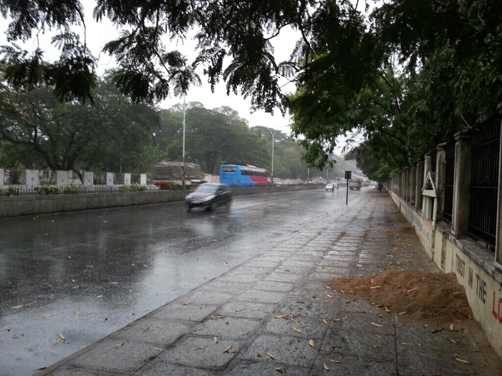
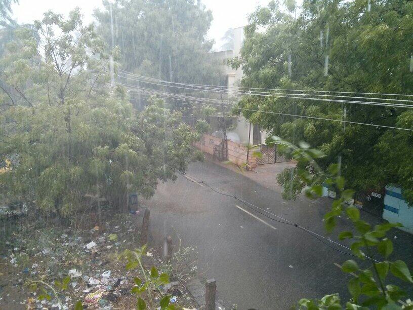
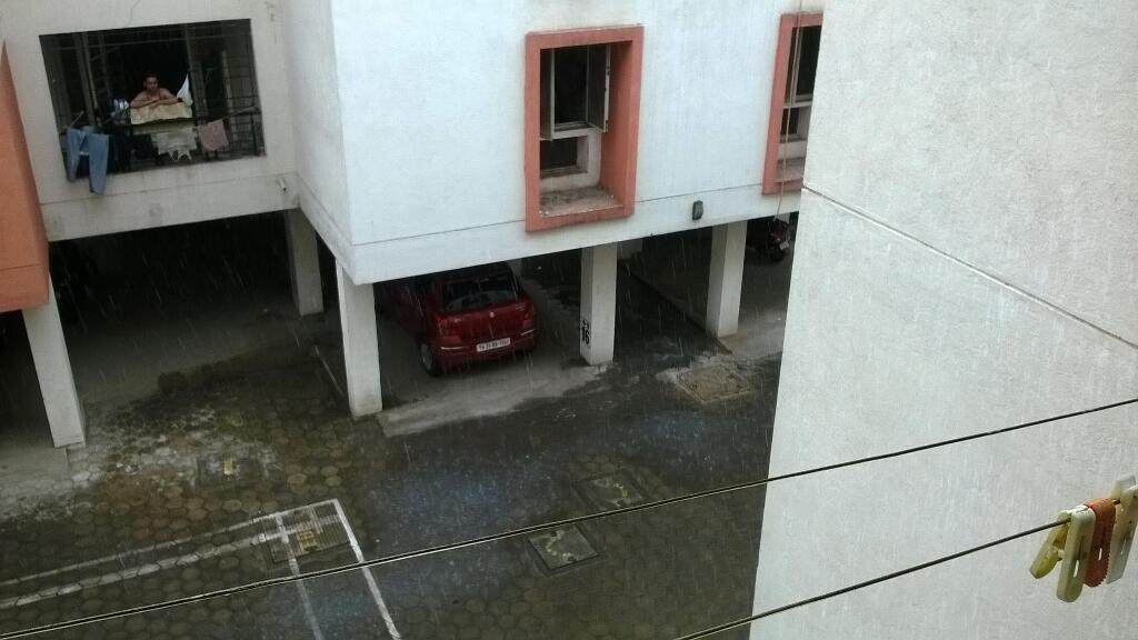
#Chennai - 2:40am, Expected showers have arrived.
Moderate rain now for past 15min in Polichalur zone.
"Like N-E Monsoon"

#Chennai - 5:56am, more steady rain now over Polichalur zone.
So far rainfall amount is 16.5mm in our weather station.

#chennai - 7:10am, a great summer #Morning with #rain .#May #weather . Long drizzle possible after this. http://t.co/QxZYs3VQxY

Sunday, May 04, 2014

Posted on Sunday Evening:

A Low has formed just W/SW off Sri Lanka in the Gulf of Mannar. The Low, 1006 mb at sea level, extends up to 700 mb levels. This Low, is embedded in the "extended " LWD in the Central Peninsula regions. 
Heavy rains, 30/40 mms,  are expected on Monday and Tuesday in Southern TN regions of Kanyakumari, Tirunelveli, Ramnathpuram and Tuthukodi. Southern Kerala , including Thiruvananthpuram Kollam and Kochi ( 20-30 mms, and 50 mms in Western Ghats of Kerala) will get heavy thunder showers.

Now, seeing the synotic situation and possibilities, we can first safely forecast the Low becoming Well Marked, and moving into the Arabian Sea by Tuesday. 
Currently, dry air, associated with the High Pressure in the Arabian Sea, is blocking the passage onto the Western Arabian Sea region. 
The current flow of 700 mb level, that is the height of the Low, is driving it Westwards, but, on deepening, we may see the NE 200 hp stream dominating. But, the 100 mb stream, now at North blowing dirction, may influence the system to track Northwards.
After Tuesday 6th May, we may see the system moving N/NW, slightly off the coast, till Karnataka coast. Due to strong SW flow at 850 hp levels, it is possible that heavy rains , > 70 mms, will pour along the North Kerala nad Karnataka coasts later in the week. 

Goa may see rains by the weekend, maybe up to 50 mms in a day. We shall review this again.

The next stage will be followed, and the up date after 24 hours , Monday evening.
From Vagaries

#chennai - 3:15pm, #good easterlies and #now feels like N-E #Monsoon. T cells visible over Bay, S-E from city… http://instagram.com/p/nki1gKuqpq/


4:30pm, T showers again over S Tamilnadu and many more over S-central, central Tamilnadu ... http://ow.ly/i/5rZwN
4:30pm, T showers seen over Odisha, N Madhyapradesh, W,central Karnataka, S-W Maharastra, Jharkhand ... http://ow.ly/i/5rZwN

RT @BalaSN: and And it is raining :) #madurai @weatherofindia (3:42pm)
RT @carundev: #SummerRains in #Madurai @keaweather @weatherofindia http://t.co/X4ZE4xybVW (3:58pm)

2:30pm, T showers again over Kanyakumari district (S tip Tamilnadu).

Bay near Tamilnadu coast is active due to circulation and easterlies..
#Chennai - Rain expected towards midnight, early hrs, morning (5-May)

Pre-monsson RF 2014 for TN is still in SCANTY


[1] The Sun is moving in the Northern Hemisphere the land area is quickly heated .  Due to heating at Comorin area and /or near by Mannar bay formation of  WML is evident.

[2] This may give some respite from HOT (mainly heating will be reduced due to cloud coverage and some times rain).

[3] Still the pre- monsoon rainfall for TN is in scanty category.

Gulf Mannar circulation and more rain ahead for S Tamilnadu, S Kerala

RT @shivkswamy:  Yesterday evening there was a tornado like effect with sheets of rain and reduced visibility near Vellore.. driving 10:23am

RT @naveenkumars84: Summer Rains at first day of Kathri Great start.!!! #Chennai #Nolumbur cc @weatherofindia http://t.co/hwhWl5XmPM 10:34am


Low-level circulation over Gulf Mannar persists and will persist during next 2 days ... http://ow.ly/i/5rVZ5 
Due to Mannar circulation, easterlies is pushing moisture into most of Tamilnadu coast and into interior zones !

Scattered T showers expected over most zones of Tamilnadu, #chennai today and tomorrow ! ... http://ow.ly/i/5rW1F 
Especially HEAVY T showers expected for S,S-central,S-W,W Tamilnadu, S,central,N,W-ghats Kerala on today, tomorrow ! http://ow.ly/i/5rW46 
More HEAVY rain ahead for S tip Tamilnadu, S Kerala during next 3 days as the circulation is expected to drift into S-E corner Arabian sea.

#Chennai - RADAR shows showers over W-S-W,W,N-W at around 20 to 60km from city... http://ow.ly/i/5rW8g 

8am, Chennai - showers seen over S-S-E near Mahabalipuram zone. At present wind is from E-S-E, S-E

#chennai - 8:15am, warm #Morning with medium level clouds and a #Thunder cell over E, S, S-E. http://t.co/bCCrdVFJrb