Monday, December 02, 2013

92B expected to become as Depression along E,N-E Srilanka coast

12:30pm, "92B" over S-S-W Bay has not organized into a well marked LOW yet ... http://ow.ly/i/3TspU 
Present pressure around 1007 mb.

At present, 92B circulation is situated along 5th parallel over S-S-W Bay... expected to drift N-W and become a Well marked LOW in 18hrs.

Both NAVGEM and GFS models suggest that 92B will become as Cyclone along N-E Srilanka coast on 4/5-Dec ... http://ow.ly/i/3Tswj 
Even more NAVGEM and GFS models agree that 92B after becoming Cyclone is expected to travel North along Tamilnadu coast after 5-Dec.

While 92B gets organized, N-E monsoon is expected to be active along N,central,S-E coast of Tamilnadu and S,S-central Tamilnadu for 48hrs.
12pm, W.D is affecting Kashmir and N Himachal now... http://ow.ly/i/3TsfD
12pm, Rain seen along N,central coast Tamilnadu and over N-interior,S Tamilnadu as well .. http://ow.ly/i/3TsfD 
This present W.D is expected to give rain / snow for parts of Kashmir, Himachal before midnight today.

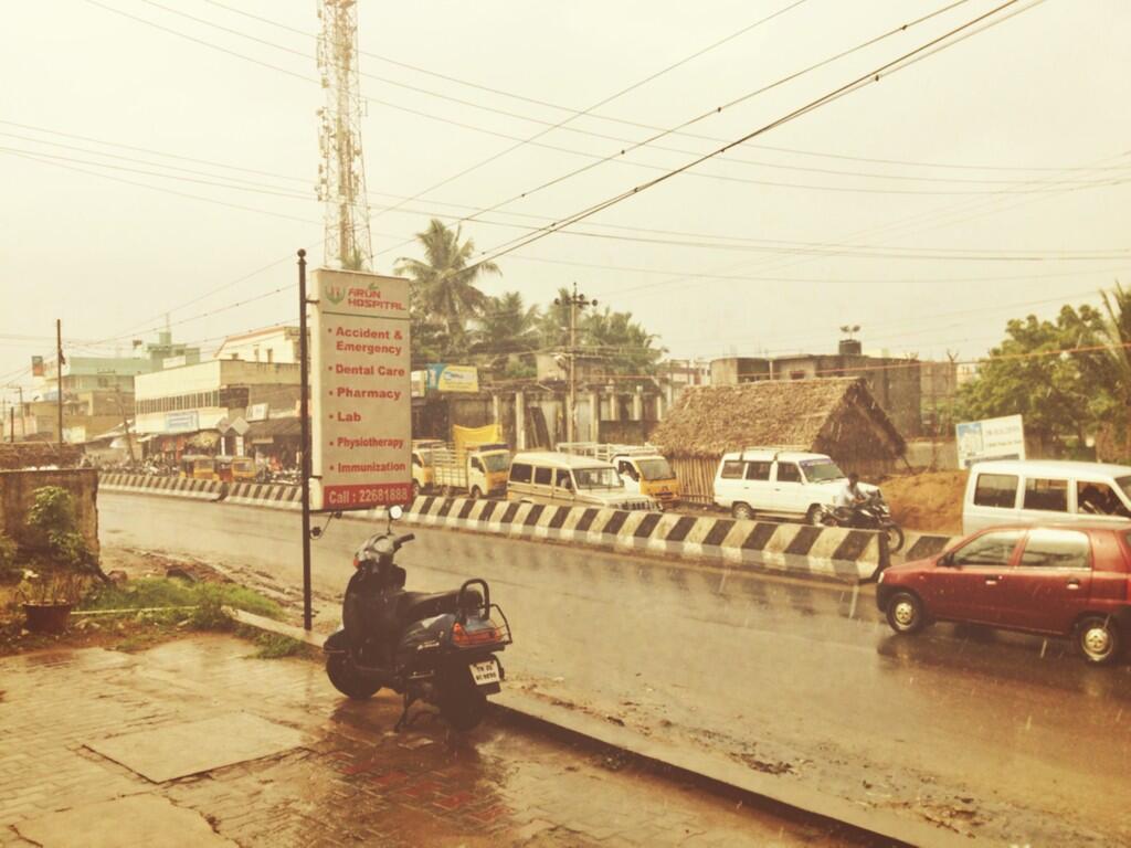
#Chennai mid morning T showers ... IWM station received 18mm

Chennai 10:40am, Polichalur zone after a steady 30  min rain, now heavy  T  showers.

-- Other reports from around #Chennai --

sarakumar19:42am via Twitter for iPhone
@weatherofindia rain just started here, looks heavy now. #Kovilambakkam south #chennai. 9.40am pic.twitter.com/6vrkyRsTls

4SN9:48am via Twitter for Android
Super rain in chrompet area, Chennai @weatherofindia

@weatherofindia raining near tidel park

Polichalur, #Chennai - Temp: 26.3°C, Wind: 0.0kph from NNW, Pressure: 1013.6hpa "Rising slowly", Rain Today: 0.6mm
Follow @weatherofindia

It's dark, cloudy & pouring in #Mandaveli#Chennai @chennaiweather@weatherofindia

Heavy rains with thunders now at DLF Porur.#chennai. @weatherofindia

Polichalur, #Chennai - Temp: 24.1°C, Wind: 2.5kph from N, Pressure: 1012.6hpa "Falling slowly", Rain Today: 18.0mm
Follow @weatherofindia


TROPICAL CYCLONE PHAILIN NASA IMAGES COMPILATION

Sunday, December 01, 2013

W.D to affect Kashmir on 2,3-Dec

An upper level W.D trough is expected to reach N-W #India in next 12hrs ... http://ow.ly/i/3T9Ft 
Scattered rain / snow is expected over Kashmir in next 24 to 42 hrs.
Cloudy day expected for Kashmir, N Punjab and Himachal on 2,3-Dec.

More rain ahead for central, N Tamilnadu coast and #Chennai towards early morning.

Will 92B become a Cyclone and track like Cyclone 10B in 1992 ??

RT @rajugana: Bangalore 7.15pm, Sunny day with formation of puffy clouds, it is drizzling right now. a AN sky pic http://t.co/I5d6W09IHi

Tamilnadu rainfall till 8:30am today Tiruchendur (Toothukudi Dist) 11, Ramanathapuram (Ramanathapuram Dist) 6, Satankulam (Toothukudi Dist) 5, Mahabalipuram (Kancheepuram Dist) 4, Sirkali (Nagapattinam Dist), Thiruthuraipoondi (Tiruvarur Dist), Muthupet (Tiruvarur Dist), Yercaud (Salem Dist), Kelambakkam (Kancheepuram Dist), Madukkur (Thanjavur Dist) 3 each, Pattukottai (Thanjavur Dist), Pamban (Ramanathapuram Dist), Kalpakkam (Kancheepuram Dist), R.S.Mangalam (Ramanathapuram Dist), Manamelkudi (Pudukkottai Dist), Kadaladi (Ramanathapuram Dist), Gandarvakottai (Pudukkottai Dist), Kamudhi (Ramanathapuram Dist), Nanguneri (Tirunelveli Dist), Karaikal, Uthiramerur (Kancheepuram Dist), Kollidam (Nagapattinam Dist) 2 each 

9pm, 92B is slowly getting organized over S,S-W Bay ... http://ow.ly/i/3T8Re 
Before tomorrow evening, 92B will be a Well marked LOW over S-S-W Bay ... http://ow.ly/i/3T8Vl

 Will 92B become a Cyclone and track like Cyclone 10B in 1992 ... check here for 10B track... http://ow.ly/i/3T9a8
If 92B becomes a Cyclone and track towards S Tamilnadu ... Rainfall deficiency over S,central Tamilnadu will be erased. 
In 24hrs, We'll have a clear picture, whether 92B becomes a Depression !!
OR will it become cyclone and take a track like Cyclone Nilam of 2012 ??

RT @chronics16: @weatherofindia #Chennai - pouring continuously for 2 hours in redhills (12:44pm)

VIDEO LIFE CYCLE OF CYCLONE LEHAR

#Chennai more showers ahead and S,S-S-W Bay LOW

RT @Ck_Mohammed: @weatherofindia @WeatherChennai Heavy Rain In #Thiruvanmiyur & Coast Of #ECR !! #Chennai #TamilNadu #India (6:30am)

#Chennai - Polichalur (S Chennai) got moderate showers at around 6am. 
IWM weather station records 7.5mm
Follow @iwmpolichalur for more.

#Chennai - 9:35am, Signs of more rain ahead.

3 or 4 sharp showers will push into city and suburbs today !


During next 24hrs, HEAVY rain expected for central,S-E coast and S Tamilnadu.
Today noon/evening a sea level LOW is expected over S-S-W Bay over the low level circulation already present... http://ow.ly/i/3SZ1U 
The upcoming LOW over S-S-W Bay is expected to drift West and become as a Depression near E, N-E Srilanka in 42hrs http://ow.ly/i/3SZ5i 
9am, Very heavy convective activity seen ALL over S,S-W Bay... and rain over central,S-E coast of Tamilnadu .. http://ow.ly/i/3SZ8F