Friday, October 25, 2013

Circulation has moved North into N-central Andhra, where next ?

RT @rajugana: @weatherofindia Bangalore 10.20am, Overcast sky with slight drizzle in the morning. sky pic http://t.co/94OsOPyMwe 

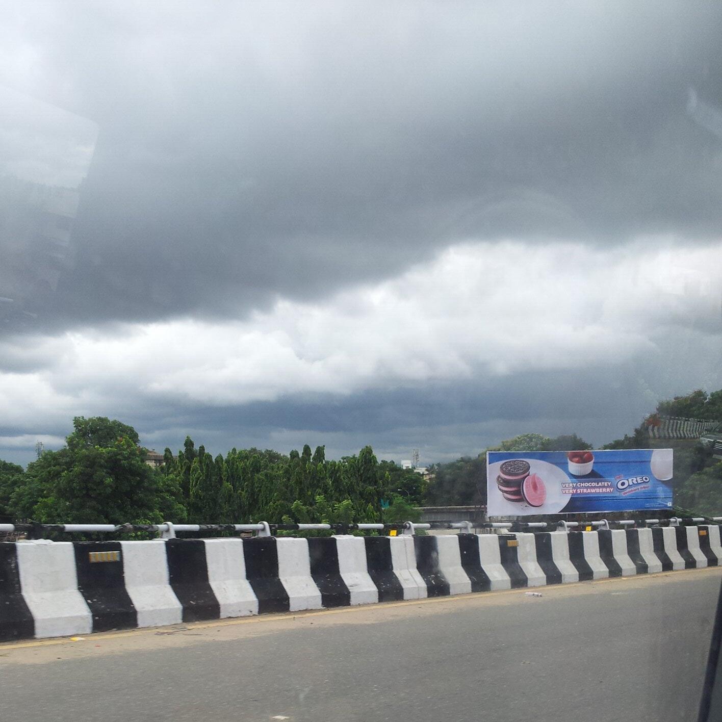
#Chennai - 3:20pm, Heavy cloud cover day again. Temperature now is 30.9 C.
And wind direction is from S-S-E.

HEAVY rain over Andhra till 8:30am today ::
~~~~~~~~~~~~~~~~~~~~~~~~~~~~~~~~~~~~~~~~~~~
    Prathipadu (dist East Godavari) 26, Visakhapatnam Ap (dist Vishakhapatnam) 16, Tekkali (dist Srikakulam) , Rentachintala (dist Guntur) , Kalwakurthi and  Kollapur (both dist Mahbubnagar) 15 each, Avanigadda (dist Krishna) 14, Yerragondapalem (dist Prakasam)  and  Koderu (dist West Godavari) 13 each, Achampet and  Nagarkurnool (both dist Mahbubnagar) 12 each, Narsapuram (dist West Godavari), Kandukur (dist Prakasam), Kalingapatnam (dist Srikakulam), Gudivada (dist Krishna), Macharla (dist Guntur), Yellamanchili (dist Vishakhapatnam) and  Kaikalur (dist Krishna) 11 each, Mandasa (dist Srikakulam) and  Eluru (dist West Godavari) 10 each, Sathenapalli (dist Guntur), Cheepurupalli (dist Vizianagaram), Visakhapatnam (dist Vishakhapatnam), Devarkonda (dist Nalgonda) and  Ibrahimpatnam (dist Rangareddy) 9 each

Yesterday's S Andhra circulation has moved North and now over N-central Andhra ... http://ow.ly/i/3wEqt 
Now, the GFS expects the system to track N-E and may pop over N-W Bay along Odisha coast on 27-Oct... http://ow.ly/i/3wEvJ 
But NAVGEM model says that the circulation will vanish over N Andhra, S-E Maharastra on 26/27-Oct.. Good possibility! http://ow.ly/i/3wEB6 

25 Oct 13 / 00Z RF in AP

IMD ARG REPORTED RAINFALL in AP: DATE25.10.2013 / TIME: 0530 hrs IST


SN STATION LAT LOG RF in mm
1 YERAKUNDALAPALEM 16.0 79.3 120.0
2 KALWAKURTHY 16.7 78.5 117.0
3 KOLLAAPUR 16.1 78.3 115.0
4 MARUTHERU 16.6 81.7 56.0

Thursday, October 24, 2013

Chennai - 10pm, a heavy electric shower is nearing N,N-W suburbs (Ponneri, Red hills zones) of city.

TN NEM rainfall

Courtesy:NRLMRY NEXSAT
NRLMRY NEXSAT:241013 / 0730 Z
The cloud is moving slowly in W-NWly direction. The high pressure ridge is preventing it to move in Northward direction. 

The SWly feeder to the circulation which passed through Salem and adjoining area experienced rainfall.

When there is cut off in circulation and possibly when there emerges another circulation near Chennai then probably Chennai may get rainfall.

The SW winds which have withdrawn from Indian main land is feeding moisture from Indian Ocean to the circulation and keeps it alive.


Last year during the same period MURJAN was active; then NILAM came.


Circulation has moved N-N-W and may continue the same

RT @rajugana: Bangalore 12.30pm, Overcast sky, dark clouds, no significant rain as of now.. sky pic @ varthur lake http://t.co/l1eLxcm8hG 


#Chennai - 1:30pm, High cloud cover continues. Wind, cloud movement from S-W.
T.Showers possible after 3pm.

Today, the low,mid, upper level circulation is over S-central Andhra ... http://ow.ly/i/3vWi7 
Now NAVGEM model suggests that the circulation to move N-N-W into S,S-W Maharastra in 48hrs and vanish.. http://ow.ly/i/3vWuP 
Latest GFS expects the circulation to drift N-W into S Maharastra and may drift N-E into E Maharastra in 60hrs .. http://ow.ly/i/3vWyi 
Latest models didn't support circulation drifting into Arabian se, there's a possibility of a circulation along S Maharastra coast in 48hrs

Wednesday, October 23, 2013

2 odd model suggestion for the present circulation over S.Andhra

7pm, HEAVY rain over W,S,N-E Karnataka, central Tamilnadu, central,N-central Andhra ... http://ow.ly/i/3vslZ 
7pm, showers seen pushing into N-E Andhra, S,central Chatisgarh, Odisha and S Bengal.
"It's raining in Ranchi" .. http://ow.ly/i/3vslZ

Analysis show that the circulation is over S Andhra ... http://ow.ly/i/3vsHn 
GFS suggests, that the circulation will weaken and drift N-W upto S,S-W Maharastra and vanish ... http://ow.ly/i/3vsMq 

But NAVGEM model suggests, the circulation will exit thru Karnataka coast and drift W-S-W into Arabian sea .. ODD . http://ow.ly/i/3vsRk 

In any case, HEAVY rain ahead for E,S-central, central Karnataka and W,central Andhra during next 36hrs.
Before Friday morning, rain expected for N,central,N-E Tamilnadu, S,central-coast Andhra.
#Bangalore - scattered moderate rain expected before Firday morning.
#Chennai - The wind direction is expected to shift to S-W and to South by Friday.. and noon,evening showers expected tomorrow.

There's NO strong easterlies expected to enter Bay till 31-Oct ... so weak N-E monsoon days ahead for Tamilnadu coast.

Circulation now over S Andhra, N Tamilnadu and Chennai

Latest analysis show that the circulation is over S Andhra, N Tamilnadu and #Chennai ... http://ow.ly/i/3vgg2 

RT @rajugana: Bangalore 9.45am, Cloudy skies with slight drizzles. However Sky is clearing and Sun is peeping out ! http://t.co/RzKwpPcN46 

11:30am, Heavy rain over central Andhra as the circulation has moved inland ... http://ow.ly/i/3vgmg 

#Chennai - 12:20pm, Pressure is around 1004mb, as expected Wind and cloud movement is from West.
Warm at around 32 C.
#Chennai - 12:30pm, conditions are right for a localized T shower before 6pm.

Belgaum @ 9.30pm, 22-Oct - From morning it was cloudy..Now drizzling started ..wind is from east..seems more rain ahead for next three days
Davangere - 5:30pm, 22-Oct, "Strong entry of NEM. Raining from past 1 hour, still has got good cloud cover."
More rain head in 36hrs.

#Kolkata - 12:40pm, "Overcast"

Tuesday, October 22, 2013

WML drifting

The WML cloud mass drifted W-NW direction and positioned just south of 15 Deg Parallel.  Still it is in Sea.  Further strengthening will lead to depression. 

Chennai is south of this position and is witnessing westerly / NWly winds. No chances of significant rainfall.


[I will be publishing the formation of new Island pictures after due confirmation.]

Heavy rain for S-central,W Andhra, E,central Karnataka in next 2 days

Morning analysis show that the circulation in pushing inland thru N Tamilnadu, #Chennai and S Andhra coast ... http://ow.ly/i/3uCYu 

Now, the circulation is expected to move W-N-W across peninsula and pop into Arabian sea near Goa on Thursday .

#Chennai - at present the wind, cloud movement direction is from N-W, In next 18hrs it'll change to W,S-W then to S-E as the Low moves in.
Heavy rain expected for S,central Andhra, S,central Karnataka during next 36hrs.
Showers possible all along coast from N-E Odisha to N-E,central Andhra during next 2 days.
Moderate to heavy rain also for N,central Tamilnadu coast and #Chennai till Wednesday evening.

Heavy and very heavy showers for S-central,W Andhra and into E,central Karnataka before evening of Thursday.

LOW is pushing into land thru N.Tamilnadu, #Chennai and S.Andhra coast

#Chennai - 1:50pm, Sharp showers now over Pallavaram zone ... and it was drizzling from 10:30am.

RT @rajugana: Bangalore 9.30am, Fabulous weather, dark clouds hanging around with chill breeze..NEM Effect!?sky pic http://t.co/9bVpSWtsDh 


RT @surlak91: Huge cloud cover in Chennai at noon.@weatherofindia http://t.co/wf7jZunvuN  (12:07pm)

1:30pm, One can observe the circulation is moving into land thru S Andhra coast .. Heavy rain for S,central Andhra http://ow.ly/i/3uCJI