Tuesday, August 27, 2013

More HEAVY rain coming up for S,central,W. Bengal ...and other updates

11pm, Heavy rain over S,E. Bihar, Jharkhand and into N. Chatisgarh, E,S-E. Madhyapradesh ... http://ow.ly/i/2YJhn 
11pm, Showers also seen over central,N-W Uttarpradesh and into Uttarakhand... http://ow.ly/i/2YJhn

Today, the low,mid level circulation is seen along N. Bay and S. Bengal, S.Bangladesh ... http://ow.ly/i/2YJBs 
Due to this N. Bay circulation HEAVY rain seen over S,central Bangladesh and into N,central zones of N-E states.

By evening of 27-Aug, the N. Bay low level circulation is expected to intensify slightly and slowly drift West ... http://ow.ly/i/2YKhb 

Due to this circulation, HEAVY rain expected again for S,W,central Bengal from today till Thursday evening.
The upper level 500hpa circulation is seen over N. Bay and it is expected to reach upto Odisha coast on today !

During next 2 days, the vorticity will be high along S-W,S,S-E,E quadrant of the circulation.. HEAVY rain expected over Odisha, S. Bengal
From today, HEAVY, widespread rain will push into S,central Bengal, N. Odisha.
On wednesday, Heavy showers will push into most of Odisha, Chatisgarh, N,N-central Andhra, E. Maharastra.
Heavy rain also expected over Jharkhand from today till Thursday.

The rain "guns" are expected to remain silent along W,N-W India till Thursday. And LESS rain again for entire S-W coast of India.
Is this the beginning of the END of South west monsoon 2013 for Pakistan, N,N-W India.?? 

As the monsoon axis is over North India along Himalayan foot hills, showers expected for Uttarakhand, Himachal, Nepal for next 36hrs
From wednesday, the monsoon axis is expected to drift slight to South.

By Thursday evening the present N. Bay circulation is expected to reach upto E,S-E. Madhyapradesh.

Sunday, August 25, 2013

BB-10 has become an UAC over the MP/Gujarat border. Its clouding has "bloated'' And spread out over a larger area over North Mah and adjoining MP and Gujarat. But, precipitation is low, hence not much was expected from this.

Just for follow up reference trace our current blog back to the vagaries' article of 20th August: 
Repeat Post:"Storm "Trami" in the Pacific is now at 970 hpa strength, and just North of Taiwan. It has produced a strong trough in a SW direction, and has an embedded Low "pulse" at 998 mb and 107E and 20N, off Northern Vietnam Coast.. Keeping a track on this as it moves Westwards along the axis."

Yes, and move Westwards it did !  The pulse has entered the Bay, and on Sunday evening positoned off the Myanmar coast at 20N as an UAC at 700 hpa.

Forecast for next week put up...BB-11 and SWM Withdrawal..on vagaries
#Chennai - 3:38pm, having a #HOT day so far with less cloud formations and Deep blue skies. Temp at 3pm was 35 C. Wind is from East (Sea)

Weather for #India on 26,27,28-Aug

Today, the weak low, mid level circulation seen over central Madhyapradesh ... expected to vanish in 24hrs ... http://ow.ly/i/2Y4kN 
A weak low,mid level circulation also seen over N,N-E Bay ... http://ow.ly/i/2Y4kN
In next 24 to 36 hrs, the N,N-E Bay circulation will get strong and expected to drift West towards S. Bengal ... http://ow.ly/i/2Y4rl 
This N.Bay circulation is not expected to pop a sea level LOW in this process. 
During next 3 days the monsoon axis is expected to be aligned over North of India.

Forecast for 26,27,28-Aug-2013
~~~~~~~~~~~~~~~~~~~~~~~~~~~~~
By 28-Aug, Low,mid level circulation from N. Bay is expected to drift into N.Odisha, affecting S. Bengal, Chatisgarh http://ow.ly/i/2Y4zV 
On 28-Aug, an upper level circulation is expected along N-E. Andhra and S. Odisha .. and expected to move West.. http://ow.ly/i/2Y4BU 

Today evening moderate rain forecast for S. Karnataka, #Bangalore. And rain also expected for N,N-E. Tamilnadu, #Chennai after 8pm.
Before morning of Monday, moderate to heavy rain expected for S. Rajasthan, W,central. Madhyapradesh.
Till Monday evening rain expected for E,N-E. Rajasthan, #Jaipur, E,S-E. Madhyapradesh, N. Chatisgarh, S, coast Odisha.
After evening of 26-Aug to morning of Tuesday, scattered heavy rain for E,N-E. Maharastra, Odisha.
Morning to evening of 27-Aug, Rain for S. Uttarpradesh, N,N-E. Madhyapradesh, Heavy for S. Bangladesh, S. Bengal, most of Odisha.

On 27-Aug, rain also for N,central Chatisgarh, E. Madhyapradesh, S,S-W Bengal and E. Uttarpradesh.
From evening of 27-Aug, heavy rain for W,S. Odisha, most of Chatisgarh. 
Night of 27-Aug, into morning of 28-Aug is expected to be Wet for Chatisgarh, S. Odisha, N,N-E. Madhyapradesh, S, central Uttarpradesh
LESS or NO rain forecast for N,N-W India on 26,27-Aug.

Kerala Top 15 rainfall in this SWM from 01.06.2013 to 24.08.2013

Kerala is enjoying the monsoon of its life time even though its is having a dull August. Only Kuttiyadi has crossed 5000 mm mark and leads the Kerala toppers.

in mm

1.   Kuttiyadi, Kozhikode dt - 5162
2.   Panamkutty, Idukki dt  - 4000
3.   Chalakudy Dam, Thrissur dt - 3944
4.   Vadakara, Kozhikode dt - 3878
5.   Vythri, Wayanad dt - 3731
6.   Pookot Wayanad dt - 3657
7.   Piravom, Ernakulam dt - 3562
8.   Munnar, Idukki dt - 3514
9.   Irikkur, Kannur dt - 3500
10. Kannur, Kannur dt - 3188
11. Peermade, Idukki - 3153
12. Taliparamba, Kannur dt - 3128
13. Neeriyamangalam, Ernakulam dt - 3116
14. Idukki, Idukki dt - 3074
15. Thamarasery, Kozhikode dt - 3000

The rainfall data of heavy weights such as Walakkad, Pochippara, Silent Valley, Rajamalai, Lakkidi, Neelikkal and Sairandhri are not available. These places would have also found a place in the Kerala Toppers.

http://tamilnaduweatherman.blogspot.in/2013/08/kerala-top-15-rainfall-in-this-swm-from.html

Saturday, August 24, 2013

Bangalore - Rain, 7:53pm

RT @axpn: It is raining steadily for past 30  mins Jayanagar, Bangalore @weatherofindia (7:53pm)

Tamil Nadu Top 10 rainfall in this SWM from 01.06.2013 to 24.08.2013

Its nearly three months since the monsoon. Sholayar Dam (Upper Sholayar) is nearing 4000 mm mark and leads the toppers ahead of other well known wettest place like Chinnakallar and Devala. Chincona and Lower Nirar Dam are not available for many days. They would have also made the list.

in mm

   1. Sholayar, Coimbatore district - 3734
   2. Valparai, Coimbatore district - 3321
   3. Avalanche, Nilgiris district - 3278
   4. Parsons Valley, Nilgiris district - 3182
   5. Devala, Nilgiris district - 3000
   6. Upper Bhavani, Nilgiris district - 2937
   7. Chinna Kallar, Coimbatore district - 2800
   8. Naduvattam, Nilgiris district - 2000
   9. Porthimund, Nilgiris district - 1813
   10. Upper Kodayar, Tirunelveli district - 1500

These stations can cross 5000 mm at end of September. These places get good rains in North East Monsoon too.

http://tamilnaduweatherman.blogspot.in/2013/08/tamil-nadu-top-10-rainfall-in-this-swm.html
#chennai - 6:50pm, mini showers are pushing into W,N-W,S-W suburbs now !

Kabarwala - "hot sunny days in a SW punjab for the past few days."
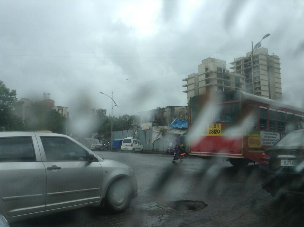
RT @shri611: Intermittent rains in #Mumbai #Thane since morning. Now drizzling Godbundher-EHighway Junction. http://t.co/rmtFPXWjNq 2:50pm

Friday, August 23, 2013

Rain in #Chennai - 9:45pm

9:45pm, #Chennai - sharp showers now over Pallavaram zone.