Monday, July 27, 2015
July 27, 2015 at 03:40PM
Chennai - 3:35pm, lots of mini T cells visible over entire W,NW,SW horizon. Rain expected to push into city in next 1 to 2 hrs. #iwm
What's Really Warming the World?
What's really warming the world?? .. http://ow.ly/3xZkj4 #iwm
Taken from Weather of India
Taken from Weather of India
FLOOD alert :: N,central,E,N-W Gujarat, S,S-W,S-E Rajasthan, W Madhyapradesh
During next 2/3 days...
The S Rajasthan LOW is expected to deepen and persist almost in same zone... http://static.ow.ly/photos/normal/c1I0o.jpg
Almost the same situation expected for N Bay LOW..
This LOW is also not expected to move N-W during next 2/3 days... http://static.ow.ly/photos/normal/c1I0o.jpg
GFS expects BOTH the systems to persist in SAME location even till Friday.
This can be a disaster for N,N-W Gujarat, S,S-W,S-E Rajasthan !
GFS expects S Rajasthan LOW to drift W-N-W into Pakistan ONLY on 2-Aug.
And the N Bay LOW to move West on that day.. http://static.ow.ly/photos/normal/c1InD.jpg
Till Wednesday / Thursday.. the west coast offshore trough will be active from S Gujarat to central Karnataka coast.
Heavy rain ahead !
Rainfall forecast for next 36hrs
~~~~~~~~~~~~~~~~~~~~~~~~~~~~~~
From NOW till noon of 29-Jul..
HEAVY / Very HEAVY rain forecast for N,N-E,central,E,N-W,S,S-W Gujarat ... http://static.ow.ly/photos/normal/c1IBx.jpg
From NOW till noon of 29-Jul..
Very HEAVY rain forecast for S,S-W,S-E,S-central Rajasthan, W,S-W Madhyapradesh ... http://static.ow.ly/photos/normal/c1IBx.jpg
During next 2 days, Heavy rain also for N-W,coastal Maharastra, Mumbai
and
Moderate / heavy rain for coastal Karnataka and Goa.
On eastern end of axis..
Scattered heavy rain for Jharkhand, S,central Bengal, N,coast Odisha on today and 28-Jul.
From midnight today and till noon of 29-Jul... Less or NO rain forecast for Kerala !.. http://static.ow.ly/photos/normal/c1IRK.jpg
Aternoon to midnight of Today and 28-Jul..
Scattered T showers for S,S-E Karnataka, Bangalore, N,N-E,N-central Tamilnadu, Chennai, S Andhra.
Over North end of monsoon axis...
Scattered heavy rain expected Himachal, Uttarakhand into S,S-W Kashmir for 48hrs.. http://static.ow.ly/photos/normal/c1J6o.jpg
A perfect start to the week. Twin engine for the Monsoon !
Today, there's twin propellers of Monsoon is in force...
One is over S Rajasthan.
And
Another over N-extreme Bay.. http://static.ow.ly/photos/normal/c1GHm.jpg
West-coast offshore trough seen from S Gujarat to central coast Kerala.
And
East-coast trough from N Bay to S-E coast Tamilnadu.
For both LOWs, circulations from low to upper-levels are strong and located almost in same locations respectively.. http://static.ow.ly/photos/normal/c1HcJ.jpg
11am, HEAVY rain N,N-W,central Gujarat, N-W,N-coast Maharastra, Mumbai.. cloudy with showers over Jharkhand, Bengal http://static.ow.ly/photos/normal/c1Hxz.jpg
11am, Heavy rain seen all along Karnataka and in some zones of central Kerala as well ... http://static.ow.ly/photos/normal/c1Hxz.jpg
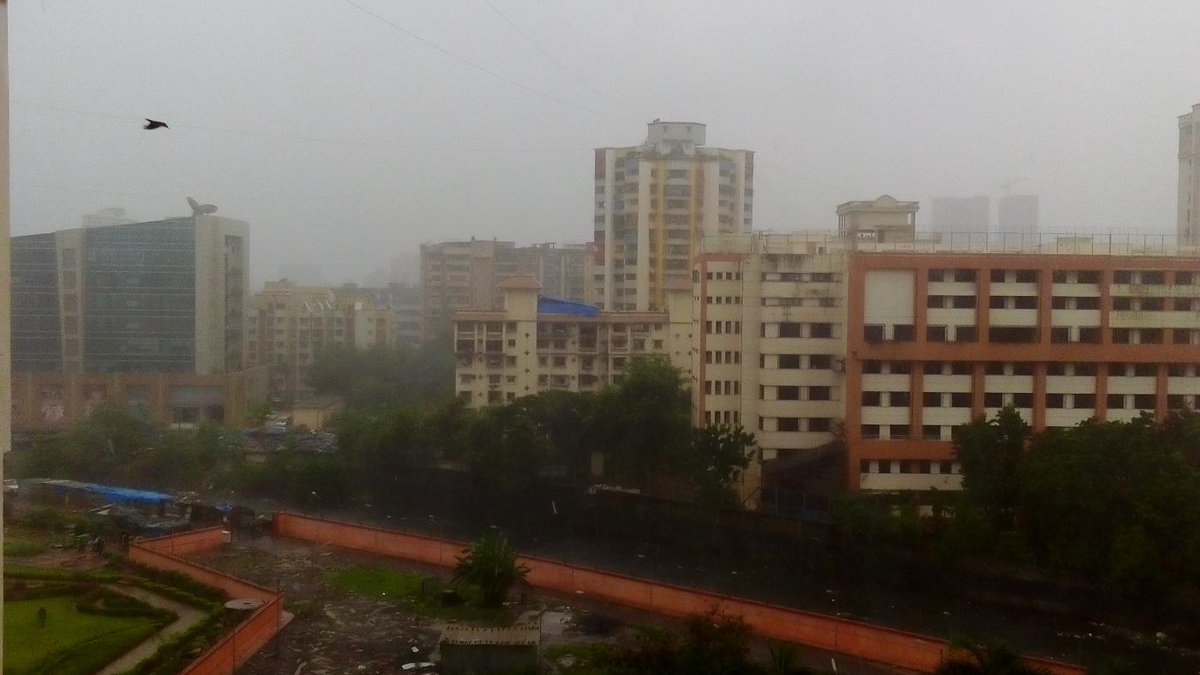
RT @malhotramona: @weatherofindia Mumbai rains now http://t.co/pKDkaUJDKq (8:57am)
RT @rdsouza11: Rain likely in #bangalore #monsoon skies r dark.. http://t.co/KjvrhdfKDz (12:19pm)
More rain ahead !! http://static.ow.ly/photos/normal/c1HHb.
Subscribe to:
Comments (Atom)


