Friday, May 10, 2013

Monsoon Update #4 , 10-May-2013 - "Monsoon to break into S.Andaman on 12-May"

#Monsoon - The seasonal Heat LOW over N,N-W,East India is around 1000 mb. This pressure is OK at this time of year.. http://ow.ly/i/25o1j 

#Monsoon - The N.India LOW will deepen even more during next 10 days, the present Super heating in that Zone will make sure of that !

#Monsoon - At present the Bay wing is getting ready to move into S,S-E Bay on 12-May. 

#Monsoon - Cross equatorial winds are seen rushing into S.Bay... aptly supported by Cyclone "01B".. http://ow.ly/i/25osJ 

#Monsoon - The monsoon will break into S,S-E Bay and over S,central Andaman Islands on 12-May, Sunday ... http://ow.ly/i/25oEu 

#Monsoon - Past 3 days the "mascarene high" is bit out of position and it is expected to be back at 1028mb on 12-May. http://ow.ly/i/25oSK 

#Monsoon - Present Sea surface Temperature along Somalia coast is around 26 C, this should go down even more for Somali Jet and Clouding !

#Monsoon - During past 2 days, weak Cross Equatorial winds are reaching Somalia coast. The Somali jet is expected to pickup from 13-May !


RT @thisismmk: @weatherofindia 6.45 pm good rain for an hour in and around Erode. (N-W Tamilnadu)

Bangalore ! Kolkata ! Rain !

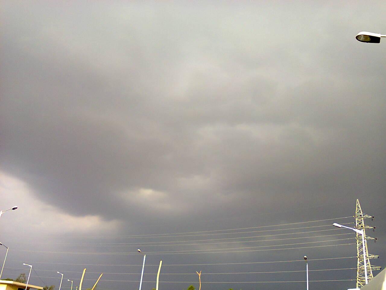
RT @rajugana: Bangalore 7.00pm, After a hot n humid day.,formation of T. Clouds &. waiting to cross the city..a pic http://t.co/r0oVhIlYkH 

#Bangalore - 7:30pm, Airport is reporting Thunderstorm in vicinity !

7:20pm, #Kolkata - Airport is reporting " Rain with Thunder storm "

#Update
~~~~~~~~~~~
RT @karaikudy: #Bangalore non stop rains evenings 3days Malleswaram, after 2 months NO A/c now.. Must be 23 C (11:28pm)

"01B" - Cyclone Gathering strength, Drifted N-W into Bay.

4pm, Latest visible satellite shot shows Heavy convective activity all around the system.
It has drifted N-W during past 6 hours.

You can also view the Thunder cells visible over N-E Odisha, central Bengal, N-E,central,S. Andhra, S,S-W,W Karnataka, N,N-central,N-W Tamilnadu at 4pm
3:30pm, T.showers popped over N,N-central Tamilnadu, S,S-W,S-central Karnataka, S,central,N-E Andhra, N-E Odisha... http://ow.ly/i/25ajR 

3:30pm, Isolated T.shower also seen over central,S-W Bengal.

"92B" is now "01B" - Cyclone !

Latest analysis show, that yesterday's weak LOW has intensified into a Deep Depression or a Cyclone.
Now its named as "01 B" - Cyclone., Soon it will be named as " Mahasen "
Present location is 5.1 N , 93.3 E (S-E Bay)
Pressure around 996 mb
Winds gusting up to 65 Kmph

2:30pm, Visible Satellite shot shows Good convective activity over S,S-W, W, N-E Quadrant of the system.


JTWC warning at 2:30pm IST
~~~~~~~~~~~~~~~~~~~~~~~~~~~~~~~~~

TROPICAL CYCLONE 01B (ONE), LOCATED APPROXIMATELY 1052 NM SOUTH OF 
CHITTAGONG, BANGLADESH, HAS TRACKED NORTHEASTWARD AT 04 KNOTS OVER 
THE PAST SIX HOURS. ANIMATED MULTISPECTRAL SATELLITE IMAGERY (MSI) 
DEPICTS A RAPIDLY-CONSOLIDATING LOW-LEVEL CIRCULATION CENTER (LLCC) 
WITH TIGHTLY-WRAPPED DEEP CONVECTIVE BANDING. THIS IMPROVED 
CONVECTIVE STRUCTURE IS CLEARLY EVIDENT IN A 100715Z AMSU-B IMAGE, 
WHICH SHOWS A DEFINED BUT PARTIALLY-EXPOSED LLCC LOCATED ON THE 
EASTERN TIP OF A DEEP CONVECTIVE BAND WRAPPING FROM THE NORTH 
QUADRANT INTO THE WEST QUADRANT OF THE SYSTEM. DESPITE THE RECENT 
IMPROVEMENT, DVORAK ESTIMATES REMAIN LOW AT 25 TO 30 KNOTS; HOWEVER, 
A 100244Z ASCAT IMAGE AND A 100544Z OCEANSAT IMAGE BOTH SHOW 35-KNOT 
WINDS NEAR THE CORE AND SUPPORT THE INTENSITY ASSESSMENT OF 35 
KNOTS. RECENT MICROWAVE IMAGERY AS WELL AS THE OCEANSAT IMAGE 
SUPPORT THE INITIAL POSITION WITH FAIR CONFIDENCE. THE LLCC IS 
LOCATED WITHIN A MARGINAL ENVIRONMENT WITH STRONG VERTICAL WIND 
SHEAR (VWS) OFFSET BY NEAR-RADIAL OUTFLOW. TC 01B IS FORECAST TO 
TRACK WEST-NORTHWESTWARD TO NORTHWESTWARD THROUGH TAU 36 UNDER THE 
STEERING INFLUENCE OF THE SUBTROPICAL RIDGE (STR) POSITIONED OVER 
THE NORTHERN BAY OF BENGAL. THEREAFTER, TC 01B IS EXPECTED TO TURN 
POLEWARD AS THE STR WEAKENS DUE TO AN APPROACHING DEEP MIDLATITUDE 
SHORTWAVE TROUGH, CURRENTLY POSITIONED OVER PAKISTAN AND THE 
NORTHERN ARABIAN SEA. AFTER TAU 72, THE SYSTEM WILL RE-CURVE INTO 
MYANMAR AS MIDLATITUDE WESTERLY FLOW DOMINATES INDIA AND THE WESTERN 
BAY OF BENGAL. DYNAMIC MODEL GUIDANCE IS IN TIGHT AGREEMENT, 
THEREFORE, THE JTWC FORECAST IS POSITIONED CLOSE TO THE MULTI-MODEL 
CONSENSUS. OVERALL, THERE IS HIGH CONFIDENCE IN THE FORECAST. TC 01B 
IS FORECAST TO INTENSIFY TO A PEAK OF 90 KNOTS BY TAU 96 DUE TO 
DECREASING VWS AND IMPROVING POLEWARD OUTFLOW ASSOCIATED WITH THE 
AFOREMENTIONED SHORTWAVE TROUGH. MAXIMUM SIGNIFICANT WAVE HEIGHT AT 
100600Z IS 10 FEET.

MODEL forecast:
~~~~~~~~~~~~~~~~~~~~~~~~~~
Latest NOGAPS model suggest that "01 B" is expected to track North into Bay and then N-E towards North Myanmar coast. Landfall expected on 15-May. COLA and IMD model also agrees to this prediction.

Meanwhile, South West monsoon will be over S-E Bay and over South Andaman Islands on 12-May-2013.
Tourist warning :: Monsoon and Cyclone is near +Andaman Holidays +Andaman World Travel
Super #HOT at 2:40pm, Nagpur Airport is reporting 49 C ... #WoW

#HOT at 2:30pm, Varanasi = 44 C, Hyderabad, Lucknow, Thiruchirapalli = 42 C, Ahmedabad = 41 C, #Delhi = 40 C, Jaipur = 37 C, Kolkata = 36 C.

#Chennai - 2:40pm, Temperature = 36 C, Mild Sea breeze has set in from East. Feels like temperature = 44.7 C.

At 2:30pm, Bangalore = 33 C and #Mumbai is around 32 C, with humidity around 63%

Yesterday 45 C club ... Nagpur ­46.7, Allahabad ­46.3, Brahampuri­ 45.9, Wardha­45.8, Chanderapur­ 45.6, Raipur ­45.1, Rentachintala­45.0 °C

"92B" - Drifted S-E and now showing signs of intensifying !

Latest analysis show that the system has drifted S-E., this movement was expected by COLA and NOGAPS model.
Present location is 3.4 N , 93.3 E
Pressure is around 1007 mb.

11:30pm, Satellite IR show good convective activity over S-W, N,N-W, S-E quadrant of the circulation.
JTWC warning at 11:30pm
-----------------------------------------

THE AREA OF CONVECTION PREVIOUSLY LOCATED NEAR 6.2N 91.4E, 
IS NOW LOCATED NEAR 3.4N 93.3E, APPROXIMATELY 175 NM SOUTHWEST OF 
BANDA ACEH, SUMATRA. ANIMATED MULTISPECTRAL SATELLITE IMAGERY SHOWS 
FLARING CONVECTION ASSOCIATED WITH A BROAD LOW LEVEL CIRCULATION 
CENTER (LLCC). THE BROAD AREA OF TURNING IS ALSO IDENTIFIED IN THE 
ANIMATED DERIVED TOTAL PRECIPITABLE WATER PRODUCT. A RECENT 
SCATTEROMETRY PASS DEPICTS A WEAK LLCC WITH CYCLONIC WINDS OF 10 TO 
15 KNOTS WITH STRONGER GRADIENT FLOW (20 TO 25 KNOTS) ALONG THE 
SOUTHERN PERIPHERY. UPPER LEVEL ANALYSIS INDICATES THE DISTURBANCE 
IS APPROXIMATELY 5 DEGREES SOUTH OF THE SUBTROPICAL RIDGE WITH 20 TO 
30 KNOTS OF VERTICAL WIND SHEAR. HOWEVER, THERE IS GOOD POLEWARD 
OUTFLOW AS EVIDENT IN ENHANCED WATER VAPOR ANIMATION. SEA SURFACE 
TEMPERATURES ARE ABOVE 28 DEGREES CELSIUS. MAXIMUM SUSTAINED SURFACE 
WINDS ARE ESTIMATED AT 10 TO 15 KNOTS. MINIMUM SEA LEVEL PRESSURE IS 
ESTIMATED TO BE NEAR 1011 MB. THE POTENTIAL FOR THE DEVELOPMENT OF A 
SIGNIFICANT TROPICAL CYCLONE WITHIN THE NEXT 24 HOURS REMAINS LOW.
------------------------------------

Latest COLA model suggests that the system will intensify as a depression on Saturday over S-E Bay and expected to move N-N-W into Bay.

Around 13-May, the Western Disturbance system moving from N-W India is expected to act on this system and the depression is expected to move N-E and make landfall along Myanmar coast on 16-May.

Latest NOGAPS model also suggests the similar path but it predicts the landfall over S.Bengal and S-W Bangladesh on 16-May.
This predicted N-E movement of system from central Bay is good for the onset of the South West Monsoon over S,S-E Bay and over S,central Andaman Islands.
As per the latest, the Monsoon will reach South Andaman Islands on evening of 12-May.


11 hot spots in India today

9th May 2013
Indian Eleven Hot Spots Today

Nagpur Sonegaon (Maharashtra) 46.7 °C
Allahabad / Bamhrauli (U.P.) 46.3 °C
Pbo Raipur (Chhatisgarh) 44.9 °C
Ramgundam (A.P.) 44.5 °C
Jharsuguda (Orissa) 44.4 °C
Gaya (Bihar) 44.2 °C
Nizamabad (A.P.) 44.2 °C
Rentachintala (A.P.) 44.1 °C
Akola (Maharashtra) 43.9 °C
Daltonganj (Jharkhand) 43.8 °C
Kota Aerodrome (Rajasthan) 43.8 °C


Taken from http://www.facebook.com/pages/RingRoad-Weather-Station/157811400895788