Posted Tuesday 6th May, Night:
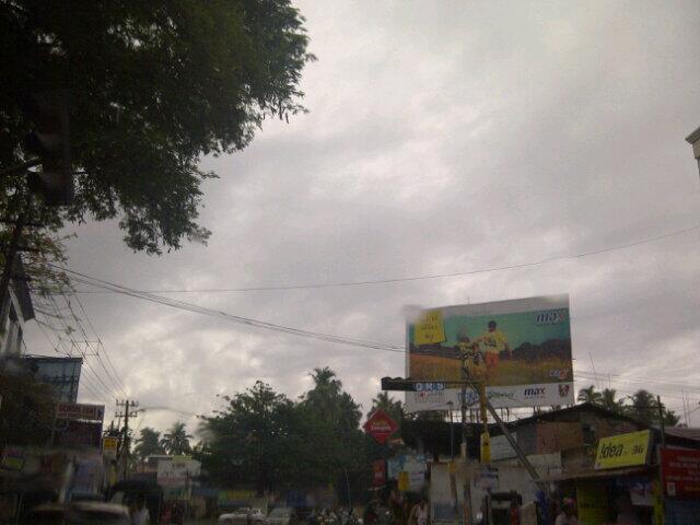
BB-1 remains almost stationary since last position. Situated at 6.5N and 78E, and at 1002 mb pressure. Winds are at 25 knts around the centre. On Tuesday, Thiruvananthpuram received 71 mms in 9 hrs till 5.30 pm IST.
Some of the heavy overnight rains ( mms) in Kerala, TN and Karntaka...Hosanagara 66, Mayiladuthurai 65, Muthupet 58, Karaikal 53, Londa 42,
Neyyattinkara 38, Thiruvananthapuram AP 33
Currently, heavy rain is concentrated in the Far NW segment, off the Kerala/South Karntaka coast.
System will deepen into a depression in next 12 hrs, and track NW initially.
By Wednesday evening, the upper trough from WD (already dipping to 23N), and the High pressure ridge, will prevent further movement Northwards , beyond Karnataka coast. As as mentioned earlier , BB-1 should cross the Karnataka coast to move inland by Thursday.
Wednesday evening and Thursday will see very heavy rains in Karnataka, Kerala and to some extent in Goa.
Coastal Karnataka and Kerala will get downpours amounting to upto 75 -90 mms in 24 hrs (Wed/Thurs).
Unusually heavy rains in pockets along the Goa, Karnataka coastline may bring up to 50-60 mms in 24 hrs (Wed/Thurs).
Light rains in South Konkan and Southern Maharashtra next 2 days.
M-1, after being stationary for a day, is now "pushed" Eastwards by the trough of M-2.
M-2, as a trough in the upper levels, is already formed and is over Iran. The trough from M-2 extends Southwards into the 23N region.
Next 2 days, M-2 will approach Pakistan, with precipitation in the Northern regions.Rainfall gradually increases from Thursday. Islamabad remains cloudy with light rain, but increase in precipitation from Friday/Saturday.
Friday and Saturday, precipitation extends into Sindh regions and NW plains of India. Delhi NCR may see showers on Friday and Saturday.
Against earlier predictions, if M-2 is moving in, it may not permit the undue heating up of the Northern Plains of the Sub Continent in the immediate next few days.
Mumbai, partly cloudy and stuffy. Very humid and cloudy on Thursday and Friday. Light rains expected in the Pune and Ghats areas on Thursday/Friday.
Very squally weather over Kolkata on Wednesday and Thursday.
Dust raising Squalls in Saurahtra and Kutch next 2 days.


