
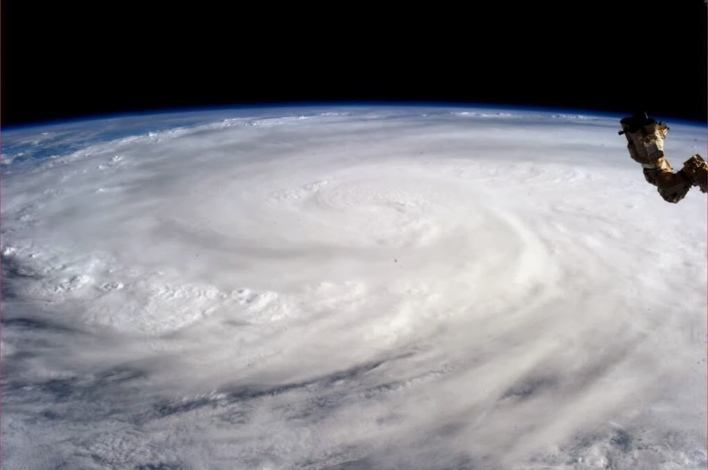
Photo taken by astronaut Karen L. Nyberg, NASA shows Super Typhoon Haiyan from the International Space Station.. http://ow.ly/qHwWp
Typhoon Haiyan devastates Philippines ... photos ... http://ow.ly/qHxK7
Typhoon Haiyan: 'It was like the end of the world' ... http://ow.ly/qHy8i
“The dead are on the streets, they are in their houses, they are under the debris, they are everywhere,” ... http://ow.ly/qHytl
Death toll in Philippines after typhoon Haiyan more than 10,000... http://ow.ly/qHyMv


