Friday, August 08, 2014
Weather Instagram at August 08, 2014 at 04:59PM
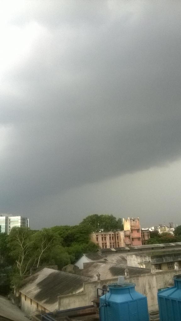
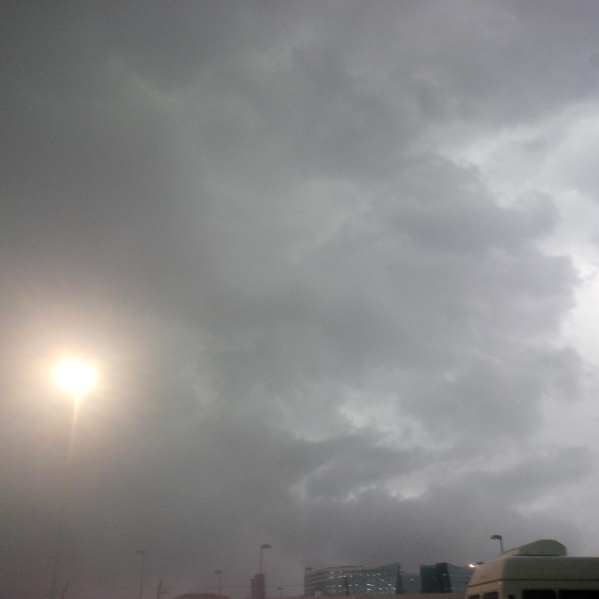
#chennai - 4:55pm, a massive T shower is now pushing into city, suburbs from w-n-w. #weather
RT @shivaranjan: @weatherofindia RT @OldSailor: #Chennai #Nanganallur Getting ready for light drizzle 1704 hrs http://t.co/Kcpx3C2hQk
RT @shivaranjan: @weatherofindia RT @OldSailor: #Chennai #Nanganallur Getting ready for light drizzle 1704 hrs http://t.co/Kcpx3C2hQk
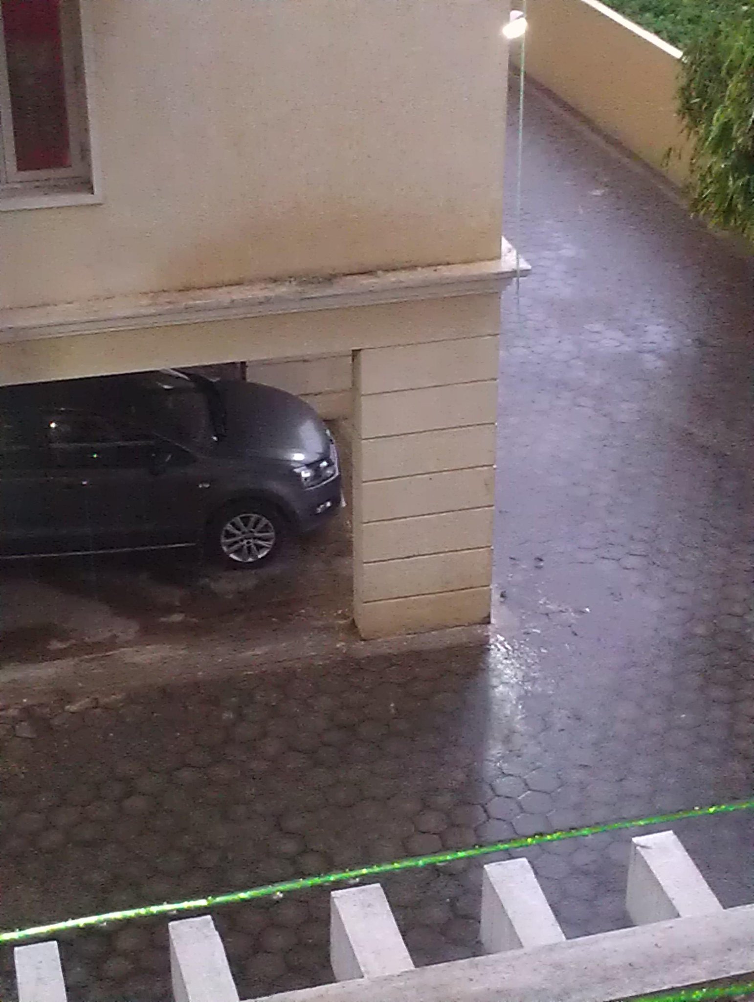
RT @OldSailor: @weatherofindia #Chennai #Nanganallur #Showers started 1729 hrs http://t.co/xur6nb4DbG
RT @fabwrite: It's raining in #Mandaveli #Chennai ☔️@weatherofindia @chennaiweather (5:39pm)
Category:
instagram
#Chennai - T shower 4:55pm - report, photos
#Chennai - 4:55pm, A line of T shower is sweeping from W-N-W from North of city to around 90km S-W from city... http://ow.ly/i/6uC5a
RT @naveenkumars84: Massive Dark Clouds near Gemini Flyover #Chennai @weatherofindia http://t.co/LBFQFVBNeD (5:07pm)
vipinkumar_g Aug 08, 5:52pm via Twitter for BlackBerry
@weatherofindia clouds in OMR, Chennai @ 5.45pm....it has started heavily raining now. pic.twitter.com/uQD4FcNFmx
@weatherofindia raining heavy in Besant Nagar #Chennai also
Anna nagar, #Chennai too...
@weatherofindia : 5.55pm : good consistent rainfall #Pallikaranai # Chennai pic.twitter.com/JZRysTp11Z
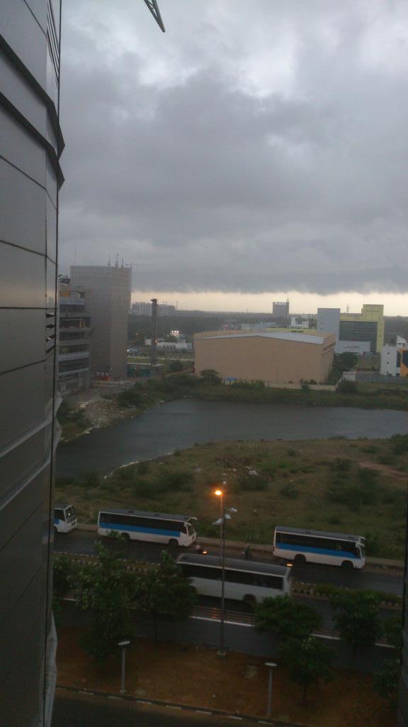
@weatherofindia. Wow look at the cloud at 6 pm #siruseri #Chennai #rain pic.twitter.com/ryE1Kc7ItO
#Chennai - 7:15pm, Still heavy drizzle continue over some places in city, suburbs.
More long drizzle ahead till 9pm. http://ow.ly/i/6uHRy
#Chennai rain, sign of upper-level circulation formation near coast over West Bay !
3:30pm, HEAVY rain again over Odisha, heavy rain also into S,central Jharkhand, S,W Bengal, N-E,E Bihar ... http://ow.ly/i/6uA1I
3:30pm, http://ow.ly/i/6uA1I .... Heavy rain over Kerala and moderate rain over S tip Tamilnadu from morning.
T showers over S Tamilnadu.
Today a low,mid,upper-level circulation has popped over N Bay near to S Bengal coast ... http://ow.ly/i/6uvEr
The N Bay upper-level circulation is expected to drift West into Odisha and weaken in next 36hrs.!
Meanwhile, the low,mid-level circulation is expected to drift N-N-W into Bengal and Bihar in next 48hrs... http://ow.ly/i/6uvJZ
GFS model continues to predict a upper-level circulation along #Chennai coast in next 36 to 48hrs ... http://ow.ly/i/6uvW9
Today, the remnant of N Madhyapradesh circulation is persisting along N,N-E MP and S-W Uttarpradesh ... http://ow.ly/i/6uw6t
This N Madhyapradesh circulation is expected to drift into central Uttarpradesh and fizzle out in 36hrs !
Subscribe to:
Comments (Atom)


