Tuesday, November 19, 2013

BB-19, depression moving West, and currently at same position, not having moved. Winds still at 25knts, and core pressure steady at 1002 mb, but potential of deepening in next 12 hrs. Since gusts are touching 30-35 knts, I would expect sustained winds to reach 30 knts by Wednesday, i.e. Deep Depression. 

The system may deepen, but show signs of weakening before landfall on 22nd morning.
From : www.vagaries.in

"91B" is now "04B" - Almost a Cyclone now !

Latest as of 5:30pm analysis, Pressure around 996mb, tracking West now.
JTWC issues a Cyclone ALERT for this system.


6:30pm, Satellite IR

#Chennai - Tonight can expect a COLD night with temperature reaching upto 22 or 21 C towards early morning.
Another DRY day (20-Nov) ahead!
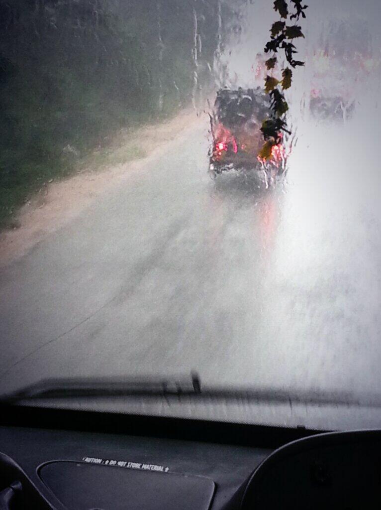
5pm, HEAVY rain seen over S Kerala.

RT @jamewils: @weatherofindia yep..its heavy raining here! (S Kerala) (5:40pm) http://t.co/6hZ5ewnSP2 

Deep Depression "91B" - Moved W-N-W and S, Central Andhra coast landfall expected

Analysis at 2pm indicates that "91B" is a Deep Depression with pressure around 997mb.
Latest position is 14.8 N , 85.2 E, and winds gusting upto 65 kmph.
After a small movement towards W-S-W... now it has moved W-N-W during past 6 hrs.

Visible satellite at 4:30pm, shows good convective activity over N,N-W,S-E,E,N-E quadrants.
Cloud top temperatures over its N,E,N-E quadrants show upto -40 and -50 C.

NAVGEM model indicates a landfall as Depression/ Deep depression along #Chennai and Nellore on night / evening of Thursday, 21-Nov-2013.

GFS model suggest a landfall as Depression along Nellore, Ongole and Machilipatnam coast.

Till evening of Wednesday, 20-Nov, LESS rain expected along Andhra coast, interior, Coastal Tamilnadu.
But showers expected to continue for S Kerala and S Tamilnadu during next 2 days.

Early rain around morning of Thursday expected for N-E,central Andhra coast.
For central,S Andhra coast, HEAVY rain due to this Depression is expected only around evening / night of Thursday, 21-Nov.
If the system crosses thru Ongole, the Vijayawada zone to get Very HEAVY rains on Friday.
RT @rajugana: @weatherofindia Bangalore 9.45am, Clear sky and bright sunshine .. a pic http://t.co/IsYp93YQUy 

#Chennai - 3:45pm, having a Clear and warm day with some low cloud formations. Temperature is 30.8 °C and wind from N-N-E

COLD N-India, It's Adampur(Punjab) again recording the lowest night temperature of 5.6°C

"91B" nearing Deep Depression

Latest analysis at 8am show that the pressure at core is around 997mb.
Now it is a Deep Depression, Weather models did not expect the system to intensify to this strength.
During past 12hrs it has drifted W-S-W.

Present position 14.5 N , 85.8 E
Winds gusting upto 65 kmph.
Visible satellite shot at 11am show a very good circulation with "almost an EYE" and good convective activity over its S,S-W, N, N-E quadrants.

More on the predicted path, landfall coming up in 1.5hrs