Tuesday, September 30, 2014


Latest analysis suggest that the low,mid-level circulation over S Arabian sea persists almost in same location ... http://ow.ly/i/73PDn 
Latest models suggest that NO intensification expected with the S Arabian sea circulation in next 48hrs !
Expected to fizzle out moving NW.

For 2 days, the winds will be E,N-E along S Andhra and Tamilnadu coast!
A weak circulation expected along Central Tamilnadu coast on 2/3-Oct

Around 5-Oct, the S-W monsoon is expected to withdraw upto 20th parallel !
This is the present monsoon withdrawal line plotted by IMD ... http://ow.ly/i/73QfT 

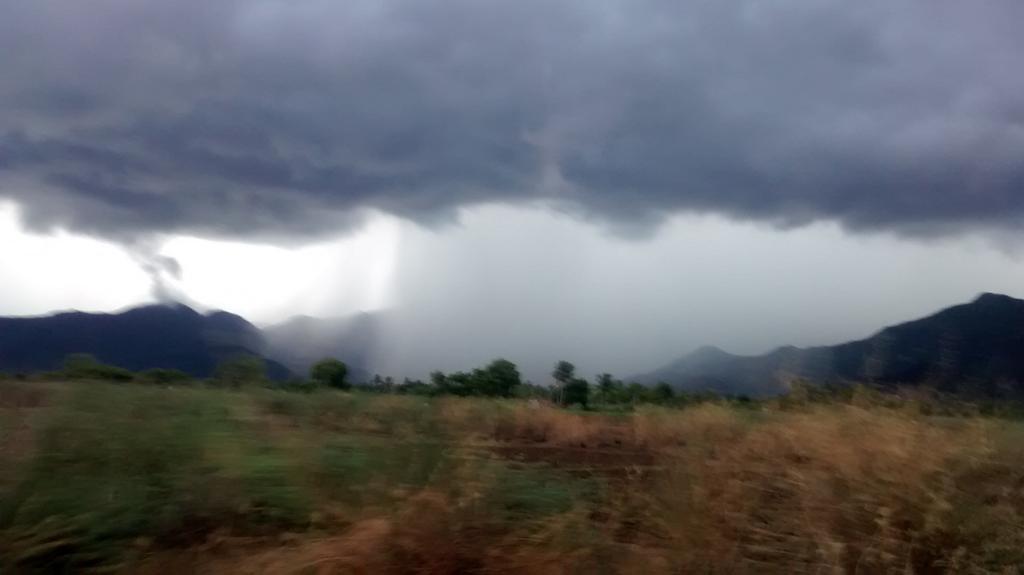
Before morning of 1-Oct...
Sharp showers may push into central Tamilnadu coast !
1-Oct, noon, evening, midnight...
HEAVY T showers for W-ghats Karnataka, w-ghats Kerala, w-ghats,S-tip,S,central Tamilnadu.
Overall the T showers activity will be reduced over N,N-E,N-central Tamilnadu from 1-Oct.
Most of the T showers will be along W-ghats, South

Today in Bangalore !

rajugana Sep 30, 2:01pm
@weatherofindia Bangalore 1.57pm, It is pouring now, dark clouds from east covering the western horizon.. ow.ly/i/73pMR


@weatherofindia Bangalore 2.20pm, Clouds moved away, Sky cleared and bright sunshine now, ow.ly/i/73quv


@weatherofindia Bangalore 4.30pm, Rain & Shine, passing clouds with passing showers..,a pic ow.ly/i/73vGP


9:30pm, T showers seen over parts of Mumbai, W Maharastra, S,central Karnataka, S Kerala ... http://ow.ly/i/73Mn3 

RT @OldSailor: @weatherofindia Raining in Coimbatore http://t.co/cK92v7D3wR (5:27pm)

Monsoon cloudy Weather. Time Lapse

Time Lapse Cumulonimbus Thunder Cloud Formation in Malout Punjab

The end of season

The rapid descending of upper level easterly winds to lower LATITUDE, is a hint of rapid withdrawal  of SWM from Main land. The change of weather scenario is mixed response to high pressure systems in Indian ocean and descending of STWJ to North Indian latitudes. 
270914 04LT


300914 09Z upper winds
Today when I was returning from down south {Kanyakumari] to Chennai I could able to witness sporadic TS activity with rain en route.  It is a sigh {?]= [/sign/] of START of withdrawal of SWM.  Today SWM season ends. The country as a whole is deficit by [-]12% and by TN &PDY sub division by [-]1%. 

http://ow.ly/i/73rKe ... 2:50pm, Heavy rain in Ernakulam, Kerala.

RT @IamKanal: Devil rain happening for last 1 hour... @weatherofIndia #Kochi 3:15pm

Monday, September 29, 2014


Latest analysis, show that low,mid-level circulation has moved into S Arabian sea ...
This circulation may intensify into a Depression in next 48hrs and drift W-N-W ... http://ow.ly/i/72MXI 

In 36hrs, an upper-level weak circulation expected over Bihar, N-E Uttarpradesh and drift East as a trough ... http://ow.ly/i/72N8J 

Before morning of 30-Sep...
HEAVY T showers for W-ghats of Tamilnadu, Kerala and into S-W Karnataka ... http://ow.ly/i/72NmO 
Due to easterlies...
Early morning to mid-morning rain forecast again for central, N Tamilnadu coast, #Chennai
Morning, 30-Sep...
Showers expected along S,central Kerala coast and S tip Tamilnadu.

Afternoon of 30-Sep...
T showers again for N,central,W,S,W-ghats of Tamilnadu, W-ghats Kerala, W-Ghats,S Karnataka .. http://ow.ly/i/72NOh 

Weather Instagram at September 29, 2014 at 05:40PM

#chennai - 4pm, clear blue skies. No more rain expected from present easterlies. #weather


from Instagram

RT @rajugana:  Bangalore 5.25pm,  Dark cloud floating from E to W..Beautiful silver lining at the edge... http://ow.ly/i/72H1C 


RT @Arvind_LFC: @weatherofindia Rainfall pouring over Western ghats at Elumalai,Madurai district http://t.co/xvZGqFIHOD (5:57pm)

http://ow.ly/i/72JDO ... 6:15pm, weather photo from Karaikal. T cells seen over eastern sky.

ow.ly/i/72Lhg .. 6:25pm, weather photo from Alappuzha beach, Kerala.

Sunday, September 28, 2014

Due to prevailing Easterlies along Tamilnadu coast, sharp showers for #Chennai, N,Centralcoast Tamilnadu during early hrs, morning of 29-Sep

Weather Instagram at September 28, 2014 at 11:45AM

#chennai - 11:40am, warm and humid now with showers seen over NW from city at 30 to 80km. #weather


from Instagram

Badlapur Fog(28-09-2014)

Badlapur super dense foggy for 4th straight day.Visibility dropping to 100mtr. Below Pics clicked at 7.30am today.


                                                   Click on pics for better view.


Some parts of #Chennai again had sharp showers (N-E monsoon style) during early hrs.
IWM Polichalur records 9.9mm of rainfall till 8:30am.
 
#Chennai - 9:50am, today as well rain bearing clouds moving in from East.
More sharp showers ahead before 3pm today!


9:30am, RADAR shows N-E monsoon style sharp showers lashing central,N Tamilnadu coast and S Andhra coast.. http://ow.ly/i/726fB
 

Saturday, September 27, 2014

A temporal change

The winds from UAC over southern tip leads to easterly and as the phenomenon was associated with UAC a temporary relief from rain occurred in west coast for a brief period.  As SWM becomes active and UAC deepens again rain bearing clouds engulfed western coast. However the upper winds are SEly


12:30pm, A weather photo from Karaikal, Tamilnadu ... "Thunder cells build up seen" ... http://ow.ly/i/71MY9 

PROBABLE RAINFALL IN [TN & AP] EAST COAST

One should NOT get confused with the prevailing EASTERLY now [270914/1047 hrs IST] .  The strengthening of SWM clouds in the Bay from SWly direction and the possible drift is due to upper winds . If this clouds move towards INDIAN EAST COAST, then there is a possibility of [heavy] rainfall in TN coast /AP coast coming perhaps from SEly direction 
 Similarly the drifting of clouds in Arabian sea to further west indicate clearing of  RAINFALL immediately  in the west coast.  

But the strengthening of SWM clouds from the winds from HIGH PRESSURE located about 2000 km SE of KANYAKUMARI  is drifted by upper level SEly winds.


The resultant wind some time may be in different direction [Northerly] 
Then rainfall course will be changing.{/?/?]


Weather Instagram at September 27, 2014 at 10:20AM

#chennai - 10:10am, scattered mini showers seen over city, suburbs. Drizzle now in Pammal zone. #weather


from Instagram


Today, the low-level circulation over S-tip Tamilnadu and W-S-W Bay near S-E,central-coast Tamilnadu persists ... http://ow.ly/i/71Lii 

This is the reason #Chennai is having a N-E monsoon style weather now !!
#Chennai - 10:20am, wind profile suggests Easterlies upto 4.8km above Sea... http://ow.ly/i/71Lk4 
#Chennai - 10:20am, scattered mini sharp showers seen over N-E,S-E(over sea) and many popping over Suburbs... http://ow.ly/i/71Lld 
#Chennai - city, suburbs Expected to get sharp showers with an odd HEAVY T shower before 3pm today !
Some are already happening !

Friday, September 26, 2014

Latest analysis show a low-level trough seen over S-E corner Arabian sea and circulation along S-E coast Tamilnadu.. http://ow.ly/i/71qdM 

Before morning...
More rain ahead for S Kerala and S tip Tamilnadu !
27-Sep, noon, evening...
HEAVY scattered rain again over W-ghats Kerala, W,S,S-central Karnataka, N,W-ghats,S,central Tamilnadu !
27-Sep...
Scattered T showers will pop over S,S-central,N-E Andhra ... http://ow.ly/i/71s7d 


India's Mars Orbiter Mission sends first images of Red Planet..  http://ow.ly/BZuK8 
we are following @MarsOrbiter

RT @aash_tvm: à´®ൂà´Ÿിà´•്à´•െà´Ÿ്à´Ÿി à´¨ിà´¨്നതൊà´•്à´•െ ഇപ്à´ªൊ മഴയാà´¯ി à´ªെà´¯്à´¯ുà´•à´¯ാà´£്... Raining here at #Trivandrum @weatherofindia (4pm)

4:30pm, HEAVY T showers over S,S-central,N-E Tamilnadu, S,central Kerala, S-central Karnataka ... http://ow.ly/i/716PJ 

#Chennai - Mini showers seen over W,S-W,N-W from city at 50 to 80km.

Very less chance of T showers popping over city.

Latest analysis show that low-level circulation is over S tip Tamilnadu and in next 48hrs it'll drift West into Sea http://ow.ly/i/712TH

Due to this circulation, before morning of 27-Sep...
HEAVY scattered T showers for S,W,N,central, W-ghats Tamilnadu, W-ghats Kerala.
Today again, HEAVY T showers expected over W-ghats Karnataka, S,S-central Karnataka and #Bangalore ... http://ow.ly/i/7135Q
Today evening, midnight... T showers also expected over S,S-central Andhra.

Today, scattered T showers also expected to pop along W-ghats, W,S-W Maharastra.

25-Sep, Bangalore records 13cm


#Bangalore - 25-Sep, "Cloud burst" records 13cm.
" 90 mm in just an hour "

Bangalore: Heavy rain throws normal life out of gear ... http://ow.ly/BXHZv  ... http://ow.ly/i/712ac 
13 cm of rain batters Bangalore in 5 hours, man found dead ... http://ow.ly/BXI6l 

Thursday, September 25, 2014

My intution and ensuing SWM torrential rain.

It has been observed that the Indian Ocean High near Mauritius is extra ordinarily of higher value.  This pressure anomaly is unusual.  Its teleconnection will reflect in India as we saw flooding in [1] J&K and recent flooding in Mehalaya & Assam.  I see a symmetry with this flooding and pressure anomaly. My fear is yet another torrential rain along south / SW India  I have given few surface charts and other wind profile data for reference/ comparison.  It is NOT a forecast. But it is my intuition. Veteran may please correct me, if it is wrong.
24.09.2014

25.09.2014
 This is 24.09.2014 / 16LT chart where the pressure is mounting and the below one is chart depicting 1039hPa. 
The other weather phenomenon like the trough forming near KOMORIN sea etc to give rainfall

However the Southern Hemisphere wind sinking at 30Deg South Latitude  [General Circulation] is NOT known to me.

veteran must clear my doubt
25.09.2014 /12Z winf


How ever preparedness to encounter torrential rain is also good. [it may happen or may NOT, that is different]


Weather Instagram at September 25, 2014 at 01:45PM

#chennai - 1:25pm, hot, humid and with good sea breeze. Photo of mini T cell over N suburb near Ponneri. #weather


from Instagram

#chennai - 1:45pm, lots of mini rain systems has popped over NW,W suburbs of city. Expected to move South.

Wednesday, September 24, 2014


6:30pm, Lots of T showers seen over S,central,W-ghats Karnataka, S-W Maharastra, S Tamilnadu ... http://ow.ly/i/6ZDbA 

Today, the low-level trough from Bangladesh to W-S-W Bay persists ... http://ow.ly/i/6ZApB
In next 24hrs, a low-level circulation is expected over S Tamilnadu and expected to drift West or W-S-W ... http://ow.ly/i/6ZAsU
WRF model suggests, on 25-Sep, low,mid-level circulation will be along S tip Tamilnadu, S tip Kerala ... http://ow.ly/i/6ZADz

An upper,mid-level trough seen from N Bihar to S Bengal, N Bay ... expected to persist and drift East in 2 days.. http://ow.ly/i/6ZBPo 
In 12hrs, an upper-level W.D trough is expected to touch N,N-central Pakistan and will drift East during next 2 days http://ow.ly/i/6ZBPo

Rainfall alert for next 42 hrs
~~~~~~~~~~~~~~~~~~~~~~~~~~~
Before morning of 25-Sep...
T showers will persist over N,N-W,central,S, W-ghats of Tamilnadu .. http://ow.ly/i/6ZCd7 
Early hrs, morning of 25-Sep..
T showers expected along Kerala coast, S tip Tamilnadu and Lakshadweep.
Tonight, HEAVY T showers possible over N,central Bengal, Sikkim, N,central Bangladesh and into central zones of N-E states.

Due to W.D...
scattered rain for N Pakistan and into Kashmir, Himachal during next 24hrs !
Most of N,N-W,W,central India is expected to remain DRY during next 2 days !

Due to formation os circulation over S Tamilnadu..
HEAVY rain expected over S tip, w-ghats of Tamilnadu on 25-Sep ... http://ow.ly/i/6ZCwu 
25-Sep, noon, evening...
T showers again for N,N-E,N-W, central Tamilnadu, S,central Karnataka and S,central Andhra.

#Bangalore - 25-Sep, more HEAVY T showers expected for city, suburbs !
#Chennai - 25-Sep, from 11:30am to 5pm a localized T shower will pop over S-W,W,N-W suburbs.
Less rain expected for city and along coast !
#Chennai - Today afternoon rain over Pallavaram, Polichalur zone.
IWM Polichalur station records 12.9mm of rainfall.