Tuesday, October 22, 2013

WML drifting

The WML cloud mass drifted W-NW direction and positioned just south of 15 Deg Parallel.  Still it is in Sea.  Further strengthening will lead to depression. 

Chennai is south of this position and is witnessing westerly / NWly winds. No chances of significant rainfall.


[I will be publishing the formation of new Island pictures after due confirmation.]

Heavy rain for S-central,W Andhra, E,central Karnataka in next 2 days

Morning analysis show that the circulation in pushing inland thru N Tamilnadu, #Chennai and S Andhra coast ... http://ow.ly/i/3uCYu 

Now, the circulation is expected to move W-N-W across peninsula and pop into Arabian sea near Goa on Thursday .

#Chennai - at present the wind, cloud movement direction is from N-W, In next 18hrs it'll change to W,S-W then to S-E as the Low moves in.
Heavy rain expected for S,central Andhra, S,central Karnataka during next 36hrs.
Showers possible all along coast from N-E Odisha to N-E,central Andhra during next 2 days.
Moderate to heavy rain also for N,central Tamilnadu coast and #Chennai till Wednesday evening.

Heavy and very heavy showers for S-central,W Andhra and into E,central Karnataka before evening of Thursday.

LOW is pushing into land thru N.Tamilnadu, #Chennai and S.Andhra coast

#Chennai - 1:50pm, Sharp showers now over Pallavaram zone ... and it was drizzling from 10:30am.

RT @rajugana: Bangalore 9.30am, Fabulous weather, dark clouds hanging around with chill breeze..NEM Effect!?sky pic http://t.co/9bVpSWtsDh 


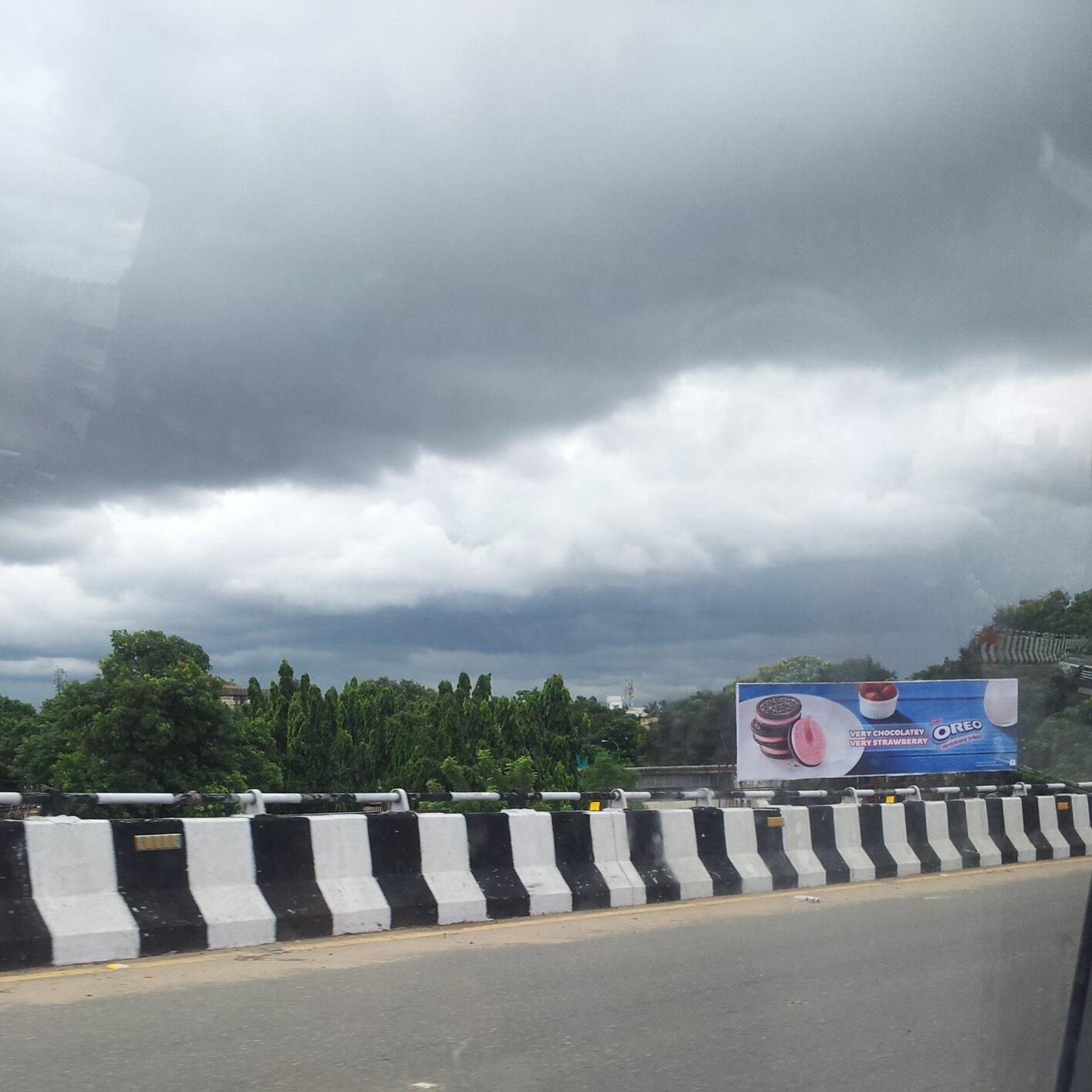
RT @surlak91: Huge cloud cover in Chennai at noon.@weatherofindia http://t.co/wf7jZunvuN  (12:07pm)

1:30pm, One can observe the circulation is moving into land thru S Andhra coast .. Heavy rain for S,central Andhra http://ow.ly/i/3uCJI