Tuesday, June 18, 2013

RT @mahendar148: @weatherofindia Raining here in Ennore, #Chennai Thank #God (5:44pm)

7:15pm, More sharp showers seen over S.Andhra coast and very near to #Chennai (N,N-W).
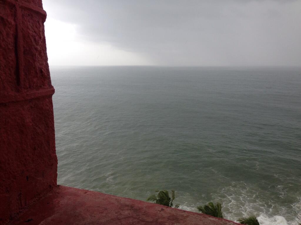
RT @ihsanibr: Rain #kovalam #trivandrum http://t.co/jeTiRDA4MV (4:37pm)

North India - "Onset phase of Monsoon- 2013 has been unprecedentedly vigorous" - IMD

Dehradun - recorded 590 mm of rainfall in 48 hrs from 0830 IST of 15th June to 0830 hrs IST of 17 th June.

Onset phase of Monsoon- 2013 has been unprecedentedly vigorous due to which monsoon has rapidly advanced from east Uttar Pradesh to extreme NW-India in 24 hours. Such a rapid movement has not been observed earlier. As per the data available since 1960, the earliest coverage of the monsoon over the entire country during 1961 which was 21st June .The Monsoon-2013 has covered the entire country on 16th June thereby breaking the previous record of earliest onset over NW India . Heavy to very heavy rainfall has occurred at few places over NW-India during the rapid progression of monsoon. Uttarakhand and Himachal Pradesh experienced exceptionally heavy rainfall at one or two places during 15-17th June. Dehradun recorded 590 mm of rainfall in 48 hours from 0830 IST of 15th June to 0830 hrs IST of 17 th June .Heavy to very heavy rain has also been recorded at few places over Punjab, Haryana, Delhi, Uttar Pradesh and Rajasthan during the spell of 15-17th June.

This type of rapid advance of monsoon with vigorous rainfall activity has occurred due to movement of well marked low pressure from NW Bay of Bengal across central India to NW-India during the above mentioned period. The heavy rainfall over NW-India, including Delhi NCR, was due to interaction of this low pressure system with upper level westerly system moving across northern parts of the country around same time. 


Taken from IMD
RT @manibond32: @weatherofindia raining in Salem, N-central Tamilnadu now (3:46pm)

1pm, Davangere - " very very cloudy since morning,but still no rain!! "


#Kolkata - 1:43pm, "rain thunderstorm !! EXTREME HEAVY RAINS LASHING few PARTS OF NORTH AND all parts of CENTRAL KOLKATA !"

(Kolkata rainfall weather photo shared by our Facebook reader)


4pm, Showers seen over Southern zones of Lake Pulicat around 50km North from #Chennai city.
HEAVY rain expected over E.Uttarpradesh, W,N-W,N,N-E.Madhyapradesh and into Bihar,N.Bengal during next 12hrs.. http://ow.ly/i/2o5in 

Heavy rain along S,S-E.Gujarat, #Mumbai and most of Maharastra coast to continue for next 24hrs and expected to reduce from Thursday.

Meanwhile, HEAVY and widespread rain to continue along Karnataka coast and N,central Kerala till 23-Jun.

Till Thursday, scattered rain to continue over Bihar, Jharkand, N.Chatisgarh and Bengal.

During next 3 days, Heavy and scattered rain to continue ALL over N-E states of India ... http://ow.ly/i/2o5qy 

N,N-W India can expect HOT and DRY weather during next 4 days!

During next 24hrs, scattered rain possible for Odisha, S.Chatisgarh and N,N-E.Andhra.

COLA expects - Scattered showers over S.interior Peninsula to increase from tomorrow!

COLA expects rain for S,central coast of Andhra, N,N-W,N-E.Tamilnadu, S,central Karnataka from tomorrow till Friday. http://ow.ly/i/2o5Az 

But WRF model forecasts LESS rain for S.interior peninsula except for N,N-E,central coast.Tamilnadu, S.Andhra coast. http://ow.ly/i/2o5FA 

Today, low level circulation is seen over central Uttarpradesh and extends up to N-E.Rajasthan including #Delhi ... http://ow.ly/i/2o4Qo 

A mid level 700hpa trough seen from W.Uttarpradesh, #Delhi to S,S-W,central Madhyapradesh ... http://ow.ly/i/2o4W0 

A low and mid level circulation is expected over central,E Uttarpradesh in next 12hrs and vanish in another 12hrs.

Today the Upper level W.D circulation is seen over W,S-W.Kashmir and it'll move to East in next 24hrs... http://ow.ly/i/2o55c 

N.Arabian sea continues to host a mid level circulation.. and will persist for another 4 days.

The offshore trough from S.Gujarat coast to N,central Kerala coast is expected to persist for 4 days.

N,N-W Bay may pop another LOW around 24/25-Jun.
#Chennai - 3pm, a mild sea breeze has set in from S-E.. now showers seen over S.Andhra, around 70km N-W from city.

Yesterday evening Bangalore rain !

RT @rajugana: Bangalore 9.15pm,17-Jun Partially Sunny day with dark passing clouds, heavy downpour in the eve ; a pic http://t.co/i6tGUHxvme 

#Chennai - 2:10pm, temperature around 36 C.. signs of Sea breeze before 4pm seen. Low level Cloud formations witnessed now.

Kolkata - Airport is reporting "Rain with thunderstorm" at 2:20pm.

Trivandrum and Kochi airport has reported "Light rain" at 2:10pm.

RT @iamkanal: @weatherofindia Heavy Rain in Kochi for last 30 hours. #NonStopRain (2:55pm)

2:10pm, #Mumbai, Santa Cruz continues to get good rain.

2pm, Heavy and widespread rain ALL along S-W coast from S-E.Gujarat to S.tip Tamilnadu... http://ow.ly/i/2o4fq 

2pm, Heavy rain seen over E,S.Uttarpradesh, most of Bihar, central,E.Nepal and N.Bengal ... http://ow.ly/i/2o4fq

2pm, Heavy rain also seen pushing into most of N-E states as well.