6:30pm, Less rain seen along S-W coast of India... "it seems monsoon is having a break from yesterday noon" ... http://ow.ly/i/5UDBc
6:30pm, Remnant circulation of Cyclone Nanauk is pushing some showers into S Gujarat coast .. http://ow.ly/i/5UDBc
The remnant of Nanauk is expected t merge with the offshore trough along W,S-W coast of India in next 24hrs.

WRF model suggests a upper level circulation along N-E Arabian sea along S Gujarat coast in next 24hrs... http://ow.ly/i/5UIq2
WRF model even suggest that the upper level circulation to push upto Mumbai coast on 17-Jun... so Monsoon is near .. http://ow.ly/i/5UItX
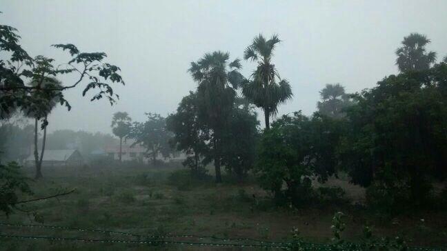
Already, 10:30pm, the remnant circulation is giving showers to #Mumbai, s,central-coast Maharastra ... http://ow.ly/i/5UIxj
More rain ahead for #Mumbai on 16-Jun.
#Monsoon will be well and truly over the city, most of Maharastra coast on night of 16th or 17-Jun.
Bay is silent so far...
A mid, upper level circulation is persisting along N-E Bay along Myanmar coast....
N-E Bay upper, mid-level circulation may drift to N Bay along S Bengal coast on 17-Jun .. http://ow.ly/i/5UItX
and this can activate Bay