Monday, June 10, 2013

In a fresh development, an UAC can form in the Bay off the North Andhra/South Orissa coast by the 12th of June.
The system, may form a low, or travel W/NW as an UAC. Along the track, we can expect heavy precipitation into Orissa and later into Chattisgarh, East Vid, MP and Southern UP. Delhi and North Rajasthan from 13th through 17th June.

West coast can expect "sympathy" rains if the UAC is strong enough.
We shall monitor the progress as the UAC forms. 

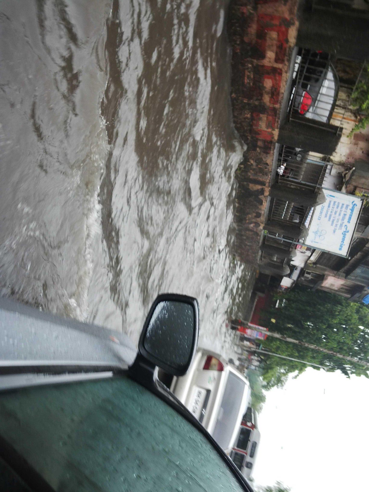
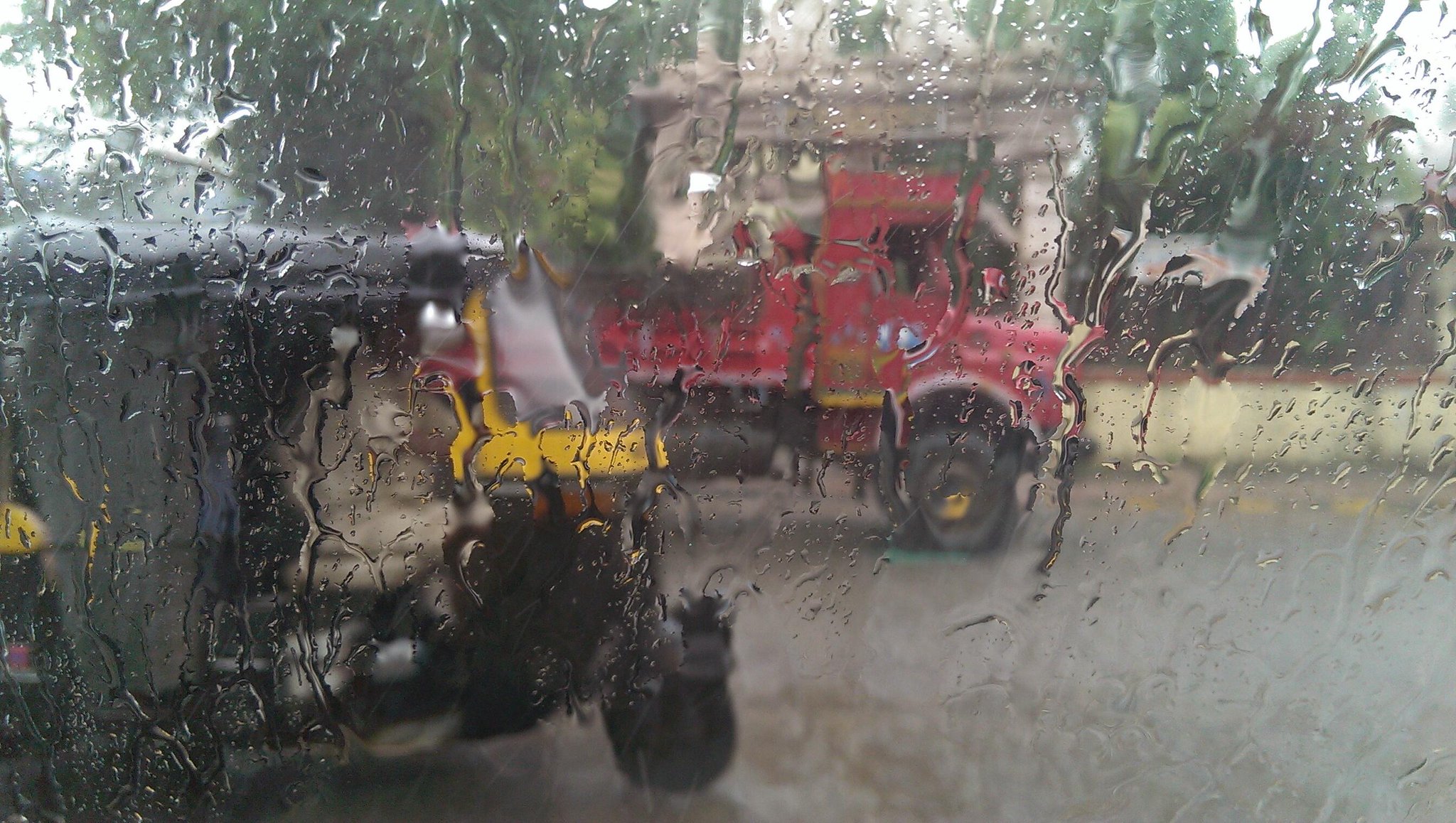
Mumbai on Monday night will get frequent showers, some heavy. Tuesday will see several showers, some of prolonged duration and heavy.
Mumbai scene on Monday evening..sun trying to peek through

6:30pm, Showers continue from N.Kerala to central Maharastra coast, Heavy rain over S-W,W.Gujarat ... http://ow.ly/i/2k2q0 

6:30pm, Rain over S,S-central,E.Maharastra, S,central.Madhyapradesh, Central,E.Rajasthan, Jharkand, S,central Bengal. http://ow.ly/i/2k2q0 

Rainfall stats for 9,10-Jun.. 2 PDF for download.. source IMD ... http://ow.ly/d/1iTz .. http://ow.ly/d/1iTA 
#Chennai - 5:40pm, Rain has pushed into N,N-W zones of city. W, S-W suburbs are expecting a heavy rain from West.

#Chennai - Drizzling now over Pallavaram zone, 5:47pm.

#Chennai - 5:51pm, HEAVY rain now over Pallavaram !

RT @thisismmk: @weatherofindia 5.55pm its pouring down in Velachery , #Chennai http://t.co/rxKrwkQXEy
#Chennai - 5:20pm, more showers building up over W,W-S-W at around 40km from city. Expected travel path is EAST towards city and into sea.
#Chennai - 4:50pm, Showers seen over N-W suburbs of city and pushing into city. More expected !!
@mayooravalli >> #Chennai - 4:13pm, Getting ready for scattered, sharp and quick shower in next 2hrs. At present the Sea breeze is weak ! 
@akmswaminathan >> LESS rain expected for most of Tamilnadu, except for N-E,central coast.Tamilnadu, #Chennai during next 2 days.

From tomorrow, more rain expected for N,N-E.Andhra.

#Bangalore - almost NO rain expected for city during next 2 days. Evening cloudiness, high winds and drizzles possible.
#Kolkata - Showers expected till 13-Jun and less rain after that.

#Bhubaneshwar - HEAVY rain expected from tomorrow till 15-Jun.. due to N-W.Bay LOW.

Like Bhubaneshwar.. Raipur is also expected to get Heavy rain from tomorrow till 15-Jun.

Allahabad - showers expected on today and tomorrow.

#Delhi - can expect rain on 12,13-Jun

Rain expected for Amristar on 12 (night), 13,14-Jun.

For Chandigarh, Heavy rain expected on 13,14-Jun.

Jaipur - Daily rainfall expected from 12-Jun to 17-Jun.
For next 24hrs, more showers expected for S,S-W,central Gujarat and ALL along N.Maharastra coast to S.tip Tamilnadu. http://ow.ly/i/2jWA6 

For S.Gujarat, N.Maharastra coast and #Mumbai, showers expected to reduce from tomorrow noon.

Today, HEAVY T.showers expected for S,S-W.Maharastra and into N,N-W.Karnataka .!

Rain also expected, scattered over Madhyapradesh, Chatisgarh, N.Maharastra, N,N-E.Andhra and Odisha... http://ow.ly/i/2jWNJ 

As the N-W Bay LOW forms, from tomorrow HEAVY rain expected for Odisha, Chatisgarh, N,N-E.Andhra ... http://ow.ly/i/2jWQf 

From tomorrow, showers expected to push into E,central Uttarpradesh and Bihar.

On wednesday, Scattered heavy rain for central,W.Uttarpradesh, #Delhi, Uttarakand and even into Haryana, Punjab .. http://ow.ly/i/2jWVN 

During next 3 days, massive showers expected for most of Andaman Islands.!


Today analysis show that #Monsoon has pushed up to S.Gujarat, S.Madhyapradesh, Odisha and S.Bengal... http://ow.ly/i/2jWc9 

Today, the offshore trough is seen from S.Gujarat coast to central Kerala coast ... ALL along S-W,W coast Peninsula.. http://ow.ly/i/2jWjj 

Low level circulation persists along W.Gujarat coast.. and another over N.Bay along Bangladesh coast.. http://ow.ly/i/2jWlj 

The low and mid level circulation along W.Gujarat coast and Pakistan is expected to persist till 14-Jun... http://ow.ly/i/2jWo7 

In next 36hrs, the N.Bay low & mid level circulation will drift S-W to Odisha coast ... http://ow.ly/i/2jWsb 

From 12-Jun, the N-W Bay circulation is expected to move W-N-W into S.Odisha and towards E,N-E.Gujarat... http://ow.ly/i/2jWuh 

On 14/15-Jun, the W-N-W travelling circulation from Bay is expected to merge with the W.Gujarat coast circulation ! Good for #Monsoon !
RT @gauthamskumar: Trivandrum  It's sunny now. Had a small shower at morning. Rain having break after yesterday night's performance (2:55pm)
RT @shrirangsamant: @weatherofindia @ndtv pic of less traffic on road http://t.co/MQptJuQPhS >> Showers continue #Mumbai (1:49pm)

RT @desibwoyz: Mumbai Rain. http://t.co/8n0R6URTlA 

RT @meumeshg: @AamAadmi_MH: 300Cr of preparations by BMC in drain? @aapkipreeti Mumbai doesnt have roads, just rivers http://t.co/04edS54BHp

RT @aknarendranath: @weatherofindia Rains accompanied by strong winds lash Palakkad in Kerala. (12:26pm)

RT @ganpatteli1: @weatherofindia Delhi is hot and humid (12:14pm) >> Temp at 1pm is around 40 C.

1pm, Massive monsoon showers seen over S.Gujarat, All along Maharastra coast and Karnataka coast ... http://ow.ly/i/2jUjV 

RT @vighneshkhale: Two days b4 all Mumbaikars were waiting for monsoon to come. Now all are waiting to stop the rain. #Mumbai #Rain (1:31pm)

RT @ndtv: Heavy rain hits Mumbai hard; waterlogging in low-lying areas.  #MumbaiRain http://t.co/smgp3VCLkH 

RT @sudipbasu: Today morning at Gandhinagar flyover, Kanjurmarg, Mumbai. If felt like driving through Lonavala.  http://t.co/29Jtv1hPgz 

RT @mayankd9: #mumbai #drenched #redtruck #rain #monsoon http://t.co/cutqRiazKS 

1pm, Showers also seen over E.Madhyapradesh, N.Chatisgarh, N-E.Odisha and S.Bengal ..   http://ow.ly/i/2jUjV

weather in mumbai

monday at 12.30 am, cool with passing showers in mumbai        

http://wxug.us/osr4   present all india  weather link
Analysis show that low & mid level circulation along Maharastra coast has moved N-W and now near W.Gujarat coast.. http://ow.ly/i/2jHOG 

As a result, the monsoon has covered entire Maharastra coast and into some parts of S,S-E.Gujarat.

The circulation along W.Gujarat coast is expected to persist for another 3/4 days... so more rain ahead for Maharastra,S,S-E Gujarat coast !

N.Bay is slowly showing signs of a circulation along S.Bangaldesh coast... http://ow.ly/i/2jHOG

In 24hrs, Over N.Bay, the circulation will drift S-W and establish along Odisha coast. And enter inland into S.Odisha on 12-Jun.

On 12-Jun, the Bay circulation will enter into S.Odisha and expected to travel West.. http://ow.ly/i/2jHWL 

On 11/12-Jun, the Monsoon will push into Bengal and Bihar.! #Kolkata !

In 24hrs, Heavy rain along Maharastra coast, Karnataka coast and N,central Kerala to continue ... http://ow.ly/i/2jI0L 

Next 24hrs will see heavy T.showers for N,central,N-E.Maharastra, S,S-W.Madhyapradesh, E.Gujarat, S-E.Rajasthan... http://ow.ly/i/2jI0L

T.showers expected for N,N-E.Andhra, S,S-central Karnataka, N-W.Tamilnadu, S.Chatisgarh, S,central,N Odisha.. http://ow.ly/i/2jI0L

In 24hrs, some showers expected for S,north Bengal. Heavy and scattered rain for most of N-E states of India.. http://ow.ly/i/2jI0L

Rainfall to increase from tomorrow night for Odisha, N,central,N-E.Andhra, N,N-E.Tamilnadu due to N-W Bay circulation.