Friday 30th July Post (Night)
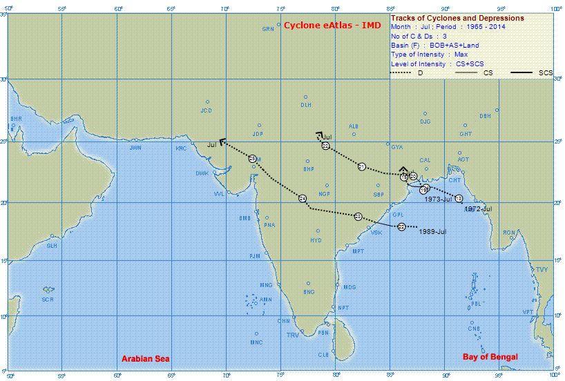
BB-3, now a depression at 992 mb, is positioned in SE Bangladesh. Likely to track W/NW and weaken. Should weaken to 1000 mb by Sunday.
An new embedded Low in the axis is likely to form in Central India by around 3rd/4th August.
As the erstwhile system in Rajasthan merges with the Monsoon axis, the Western end of the axis rapidly moves Northwards. Due to BB-3, the slope Eastwards of the axis is steep, sloping SE.
Friday 31st and Saturday 1st August..Heavy showers are likely in Kashmir, H.P. and Uttarakhand, Western U.P. and in Western Nepal.
Rains increasing in both Punjabs on 1st August and continue on Sunday 2nd.
(Gujrat in Pak Punjab gets increasing precipitation from Saturday. Saturday and Sunday showers will measure around 20 mms per day).
Heavy showers in Chattisgarh. Jharkhand and West Bengal.
Rainfall increasing (due to sectoral strengthening of the off shore trough) in South Konkan and Goa and Coastal Karnataka from Friday and effective thru till Monday.
From Vagaries


