Posted Sunday Night 6 th April:Current Weather and expected Weather for 7th, 8th and 9th April:
Western Distrubance A-2 is active over Upper Sindh and Northern Pakistan regions on Sunday 6th April. Good precipitation is witnessed in Pakistan Punjab
 (Pic sent by Waqas from Gujarat City in Pak Punjab. 10 mms were recorded there).
Amongst the heavy falls: Chirat 46 mms, Joharabad 45 mms, Bannu 41 mms, Dir 35 mms,
As A-2 has an induced Low over the plains , we can expect the precipitation to move into India , the North west , on Sunday night and into Monday.
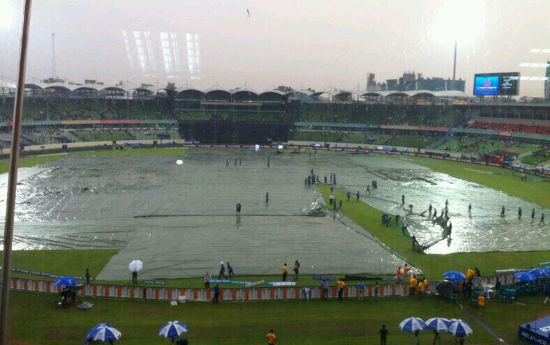
 Pic from Malout Punjab sent by Sukhwinder
Thunder showers can be expected in Kashmir, HP, Punjab and Haryana, North Rajasthan and Delhi on Monday.
Delh NCR will be cloudy at times and showers expected on Monday.
Rainfall decreases in Pakistan Northern regions on Monday, with skies clearing in Islamabad on Monday.Though Islamabad was cloudy at 27c today and had light drizzles, it can expect around 10-15 mms on Sunday night. Monday will be around 28/29c, with sky clearing by evening.
Nawabshah was hot at 39c, hottest in Pakistan, and will remain around 39c, touching 40/41c in a few days.
On Sunday 6th, Southern Maharashtra was cloudy, with light rainfall in some parts. Kolhapur measured 4 mms till Sunday evening.
South Konkan and adjoining Southern Maharashtra wil be cloudy on Monday and Tuesday, with an odd thunder cell popping up around the Satara/Kolhapur or Solapur regions.
Monday/ Tuesday, Belgaum amd Goa will be cloudy with rains in the vicinity.
A LWD will run through the Maharastra and Interior Karnataka region on Monday 7th through Wedmesday 9th. Am embedded UAC could form over the Eastern Vidharbh/Marathwada region on Monday/Tuesday.The Madhya Maharashtra, Marathwada and Western Vidharbh will be cloudy with sparse rainfall in some pockets next 2 days. N.I. Karnataka will be cloudy with the odd shower in some parts.
The UAC may descend to form a weak Low , and move Eastwards. We can see some cooling showers in the baking hot coastal AP and Coastal Odisha regions on Wednesday. Windy along East coast.
from vagaries
Western Distrubance A-2 is active over Upper Sindh and Northern Pakistan regions on Sunday 6th April. Good precipitation is witnessed in Pakistan Punjab
Amongst the heavy falls: Chirat 46 mms, Joharabad 45 mms, Bannu 41 mms, Dir 35 mms,
As A-2 has an induced Low over the plains , we can expect the precipitation to move into India , the North west , on Sunday night and into Monday.
Thunder showers can be expected in Kashmir, HP, Punjab and Haryana, North Rajasthan and Delhi on Monday.
Delh NCR will be cloudy at times and showers expected on Monday.
Rainfall decreases in Pakistan Northern regions on Monday, with skies clearing in Islamabad on Monday.Though Islamabad was cloudy at 27c today and had light drizzles, it can expect around 10-15 mms on Sunday night. Monday will be around 28/29c, with sky clearing by evening.
Nawabshah was hot at 39c, hottest in Pakistan, and will remain around 39c, touching 40/41c in a few days.
On Sunday 6th, Southern Maharashtra was cloudy, with light rainfall in some parts. Kolhapur measured 4 mms till Sunday evening.
South Konkan and adjoining Southern Maharashtra wil be cloudy on Monday and Tuesday, with an odd thunder cell popping up around the Satara/Kolhapur or Solapur regions.
Monday/ Tuesday, Belgaum amd Goa will be cloudy with rains in the vicinity.
A LWD will run through the Maharastra and Interior Karnataka region on Monday 7th through Wedmesday 9th. Am embedded UAC could form over the Eastern Vidharbh/Marathwada region on Monday/Tuesday.The Madhya Maharashtra, Marathwada and Western Vidharbh will be cloudy with sparse rainfall in some pockets next 2 days. N.I. Karnataka will be cloudy with the odd shower in some parts.
The UAC may descend to form a weak Low , and move Eastwards. We can see some cooling showers in the baking hot coastal AP and Coastal Odisha regions on Wednesday. Windy along East coast.
from vagaries