RT @IamKanal: Heavy Devil Rain at Kochi for last 2 hours.Roads full of water. @WeatherOfindia
11:07pm, 7-Oct

Tuesday, October 08, 2013
Monday, October 07, 2013
What's up for #India before the Cyclone brews over E-S-E Bay
In 48hrs, present circulation over E,S-E Madhyapradesh is expected to weaken and drift S-W into N,N-E Maharastra .. http://ow.ly/i/3m7J3
Before evening of Tuesday, Showers expected over S Odisha, S,Central,N-E Andhra, E,S-E Madhyapradesh.
More showers ahead for S,S-W Bengal before tomorrow evening !
Tuesday evening can witness some showers for central, W Madhyapradesh as well.
E,S-E Gujarat can witness more rain before evening of Wednesday !
During next 48hrs, T showers expected for S Karnataka, N,N-E Tamilnadu, #Chennai and S Andhra.
During next 2 days, central, W Ghats of Kerala to get some T showers.
Central, central coast Tamilnadu also in for T showers on evening of 8,9-Oct.
#Bangalore can expect moderate rain on evening, late-evening of Tuesday and Wednesday.
Before evening of Tuesday, Showers expected over S Odisha, S,Central,N-E Andhra, E,S-E Madhyapradesh.
More showers ahead for S,S-W Bengal before tomorrow evening !
Tuesday evening can witness some showers for central, W Madhyapradesh as well.
E,S-E Gujarat can witness more rain before evening of Wednesday !
During next 48hrs, T showers expected for S Karnataka, N,N-E Tamilnadu, #Chennai and S Andhra.
During next 2 days, central, W Ghats of Kerala to get some T showers.
Central, central coast Tamilnadu also in for T showers on evening of 8,9-Oct.
#Bangalore can expect moderate rain on evening, late-evening of Tuesday and Wednesday.
"90W" - Is it going to become a Severe Cyclone ?
The circulation "90W" has now entered into E-S-E Bay (Andaman sea) ... http://ow.ly/i/3m6vz

9pm, IR of "90W" shows Good convective activity over it's S,S-W,W quadrant ... http://ow.ly/i/3m6CM

Here's the latest position of "90W" - Just entered into Andaman Sea.... pressure around 1008mb ... http://ow.ly/i/3m6Uh

Latest GFS model expects "90W" to become a Depression by evening of 9-Oct, even before exiting Andaman sea. Initially expected to move W-N-W
Almost ALL models are expecting a Odisha coast landfall as "Severe Cyclone" . Here's the GFS model for 12-Oct.. http://ow.ly/i/3m7by

NCMRWF model also predicts a Odisha coast landfall as "Severe Cyclone" ... http://ow.ly/i/3m7n4

NAVGEM model also predicts a Odisha coast landfall on 13/14-Oct ... http://ow.ly/i/3m7zI


9pm, IR of "90W" shows Good convective activity over it's S,S-W,W quadrant ... http://ow.ly/i/3m6CM

Here's the latest position of "90W" - Just entered into Andaman Sea.... pressure around 1008mb ... http://ow.ly/i/3m6Uh

Latest GFS model expects "90W" to become a Depression by evening of 9-Oct, even before exiting Andaman sea. Initially expected to move W-N-W
Almost ALL models are expecting a Odisha coast landfall as "Severe Cyclone" . Here's the GFS model for 12-Oct.. http://ow.ly/i/3m7by

NCMRWF model also predicts a Odisha coast landfall as "Severe Cyclone" ... http://ow.ly/i/3m7n4

NAVGEM model also predicts a Odisha coast landfall on 13/14-Oct ... http://ow.ly/i/3m7zI

8pm, Heavy T showers S Gujarat, E,S-E madhyapradesh, S,central Chatisgarh, central Andhra, central,N-E Odisha .. http://ow.ly/i/3m13l
8pm, T Showers also seen over S, N-central Karnataka, central, N-E Tamilnadu and S,S-W Bengal .. http://ow.ly/i/3m13l
8pm, We can clearly see a GOOD circulation taking shape over E-S-E Bay (over Andaman sea) ... http://ow.ly/i/3m13l

8pm, T Showers also seen over S, N-central Karnataka, central, N-E Tamilnadu and S,S-W Bengal .. http://ow.ly/i/3m13l
8pm, We can clearly see a GOOD circulation taking shape over E-S-E Bay (over Andaman sea) ... http://ow.ly/i/3m13l

#Chennai rain alert at 8:10pm
#Chennai - ALERT - 8:10pm, a HEAVY Thunder storm is now drifting towards city from W-N-W. Now over Arakkonam zone (65km from city)
~~ update at 9:20pm ~~
#Chennai - 9:15pm, the approaching T shower has now split into 2 systems, one over N-W (at 65km) and another over W-S-W (at 45km).
~~ update at 9:20pm ~~
#Chennai - 9:15pm, the approaching T shower has now split into 2 systems, one over N-W (at 65km) and another over W-S-W (at 45km).
#Chennai - had another #HOT and Humid day... with a temperature max of 34.8 C. Towards sunset T cells visible over W-N-W.
#Chennai - 7:20pm, a line of HEAVY T Showers seen over W-N-W from city at around 80 to 200km. Present movement is towards N-E.
Medinipur - 6:24pm, "Thunder storm"
#Kolkata - 2:30pm, DumDum zone got HEAVY T showers and its still (7:30pm) raining !
#Bangalore - 5:20pm, "Cloudy"
#Chennai - 7:20pm, a line of HEAVY T Showers seen over W-N-W from city at around 80 to 200km. Present movement is towards N-E.
Medinipur - 6:24pm, "Thunder storm"
#Kolkata - 2:30pm, DumDum zone got HEAVY T showers and its still (7:30pm) raining !
#Bangalore - 5:20pm, "Cloudy"
Saturday, October 05, 2013
Interesting weather events expected on 9,10,11,12-Oct
Latest GFS suggests, the present S Uttarpradesh circulation to weaken and slide South again during next 2 days !
By sunday noon, the off-shore trough along central,S maharastra coast is expected to weaken or fizzle out.
A remnant circulation is expected to push into S-E Bay around 8/9-Oct... presently the circulation is over Gulf of Thailand.
NAVGEM, GFS model suggests, the LOW will push into S-E Bay and re-group on 11/12-Oct... http://ow.ly/i/3l7lD
Latest NCMRWF model suggests a Cyclone and track towards Odisha coast on 13/14-Oct.. http://ow.ly/i/3l7uk

There's an ODD chance that S UP circulation to drift South and then W-S-W or West towards N-W Maharastra and S-E Gujarat on 9,10,11,12-Oct
By sunday noon, the off-shore trough along central,S maharastra coast is expected to weaken or fizzle out.
A remnant circulation is expected to push into S-E Bay around 8/9-Oct... presently the circulation is over Gulf of Thailand.
NAVGEM, GFS model suggests, the LOW will push into S-E Bay and re-group on 11/12-Oct... http://ow.ly/i/3l7lD
Latest NCMRWF model suggests a Cyclone and track towards Odisha coast on 13/14-Oct.. http://ow.ly/i/3l7uk

There's an ODD chance that S UP circulation to drift South and then W-S-W or West towards N-W Maharastra and S-E Gujarat on 9,10,11,12-Oct
Latest around #India at 3:30pm - "Heavy rain over Bihar, Bengal"
#Chennai - 3:30pm, Again a CLEAR day with NO cloud formation. #HOT at 34 C (3pm).
#Kolkata - Airport has reported "Thunder storm" at 3:20pm.
Belgaum - Monsoon is active here ..from morning it was raining moderate . now its heavy at 11.30 am
Davangere - 1:36pm, "cloudy and windy,couple of passing drizzles till now"
#Bangalore - 3:28pm, "Cloud formations during past 30 mins. Its overcast now"
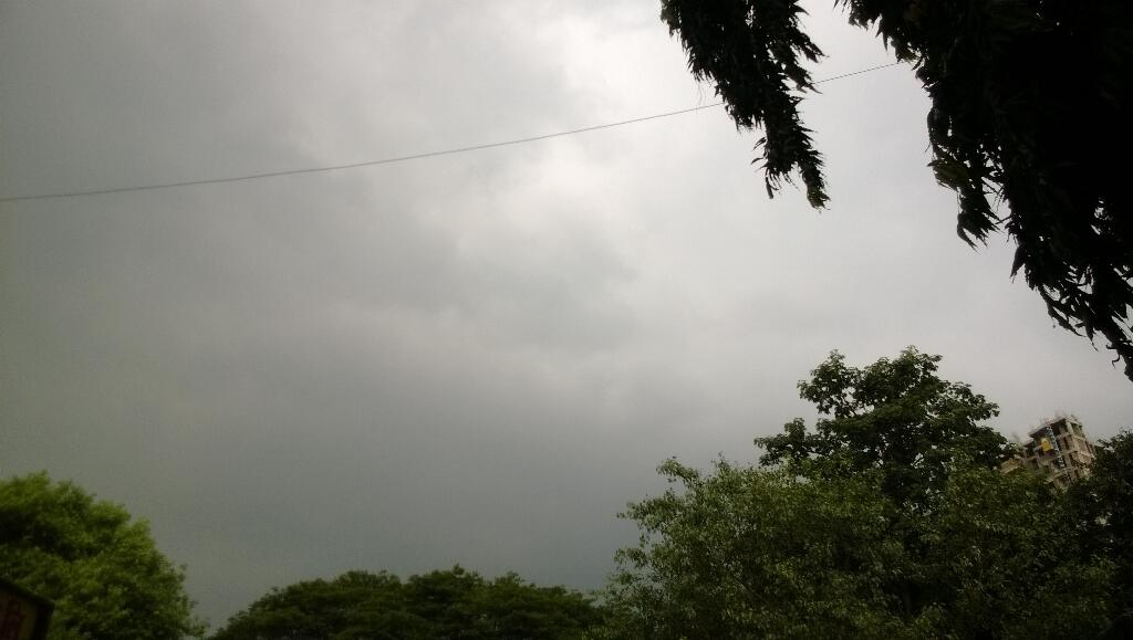
RT @anshulchopra: Looking dangerous #Mumbai #rain #clouds storm??? http://t.co/7OOwZmSxaq (1:07pm)
3:30pm, HEAVY rain has pushed into Bihar, scattered over Maharastra coast, N Chatisgarh, N Odisha, S,central,N Bengal http://ow.ly/i/3l4Od
 Latest analysis show that, the circulation is over kanpu, Lucknow zone and the Maharastra coast trough persists but weak !
#Kolkata - Airport has reported "Thunder storm" at 3:20pm.
Belgaum - Monsoon is active here ..from morning it was raining moderate . now its heavy at 11.30 am
Davangere - 1:36pm, "cloudy and windy,couple of passing drizzles till now"
#Bangalore - 3:28pm, "Cloud formations during past 30 mins. Its overcast now"
RT @anshulchopra: Looking dangerous #Mumbai #rain #clouds storm??? http://t.co/7OOwZmSxaq (1:07pm)
3:30pm, HEAVY rain has pushed into Bihar, scattered over Maharastra coast, N Chatisgarh, N Odisha, S,central,N Bengal http://ow.ly/i/3l4Od

Subscribe to:
Posts (Atom)