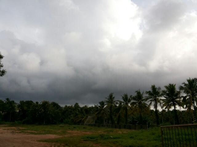
RT @WeAreTrivandrum: Cloudy #trivandrum. Chance for an evening shower! #Thiruvananthapuram #Kerala http://t.co/kO1zyTzYhu (5:22pm) RT @WeAreTrivandrum: Yes! It is raining here now at #trivandrum, after 2 days!! #Kerala @weatherofindia (5:59pm)
As expected a circulation has formed at all levels over Bay. Sea level circulation is seen over N-central Bay ... http://ow.ly/i/6Gslu The mid,upper-level circulations are slightly tilted to S-S-W. Upper is seen over W-central Bay ... http://ow.ly/i/6Gsp2 1:30pm, Due to circulation over Bay.. it is very active over central,West Bay ... http://ow.ly/i/6GsqJ 1:30pm, Heavy rain along Karnataka coast and N,central Kerala ... http://ow.ly/i/6GsqJ
Tuesday, August 26, 2014
#chennai - 10:20pm, a T shower system is now pushing into W suburbs.
More rain ahead for the night... http://ow.ly/i/6G27Z
1pm, Massive rain seen all along from S-E Gujarat coast to S Karnataka coast ... http://ow.ly/i/6FGaR "central Bay is very active"
Good offshore trough seen along Maharastra coast upto S Karnataka coast ... http://ow.ly/i/6FGhi A good upper-level circulation seen along W, coast Maharastra ... http://ow.ly/i/6FGki And expected to persist for next 18hrs.
In 24hrs, a strong low,mid-level circulation expected over N-central,central Bay ... http://ow.ly/i/6FGnk On 29/30-Aug, the low,mid-level circulation from Bay is expected to reach N,central Andhra coast ... http://ow.ly/i/6FGqr And, the upper-level circulation is expected to cross S Andhra coast, #Chennai on 29/30-Aug... http://ow.ly/i/6FGsG Today, the low,mid-level circulation over S,S-W Rajasthan persists ... http://ow.ly/i/6FGvh This S Rajasthan circulation is expected to persist for next 42hrs ! Rainfall alert ~~~~~~~~~~~~~~~~~~~ Widespread rain along Maharastra coast, Karnataka coast is expected to persist till Thursday morning. Scattered HEAVY rain also expected for N,central Kerala during next 42hrs... http://ow.ly/i/6FGDx Before early morning of 27-Aug... Scattered T showers for S,central,W Maharastra, many parts of Karnataka, W,S,N-W Andhra. T showers also for S Karnataka, N,N-W,N-E,N-central coast Tamilnadu and S Andhra on today and Wednesday. Scattered T showers for S Odisha, S,central Bengal on today and 27-Aug ! Today, Tomorrow - T showers for S-E,E,N-E Gujarat, S,S-E Rajasthan, W,S-W Madhyapradesh
#Chennai - T showers expected today evening into midnight. And Showers expected around mid-morning of Wednesday. Tomorrow, scattered T showers expected for Odisha, N,N-E Andhra, E Maharastra, S Chatisgarh.. http://ow.ly/i/6FGQB
Monday, August 25, 2014
5:30pm, Scattered HEAVY rain over S,S-E,E Gujarat, W,central,S Maharastra, N,N-W,N-E Andhra, Odisha, Jharkhand.. http://ow.ly/i/6F2B8 #Chennai - 7:20pm, T showers seen over N-W at around 130km from city. T Showers "may" push into city after 10pm !
#Chennai - Rainfall till 8:30am today... Nungambakkam = 89.3 mm, Airport = 85.2 mm, IWM Polichalur = 45 mm. #Chennai - 24-Aug, Midnight Thunder Storm... RADAR images video ... http://youtu.be/v9OXLgS8030 Chennai - 24-Aug, Thunder Storm "Lightning Video" ... http://youtu.be/a0m1CIap3MY
Sunday, August 24, 2014
Posted Sunday 24th Night.. Initial Indication of Season Change is seen at 200 mb levels. Jet streams have become Westerly above the 25N line. Monsoon can see a change in the next 10 days... A trough off the West Coast of India remains active. A UAC could form in the trough somewhere around South Konkan. On Tuesday, we can expect an interaction of North winds and West winds around N.I.Karnataka regions.