Wednesday, April 09, 2014


During next 24hrs, the low-level circulation over N,N-W Andhra, N-E Karnataka, S,S-E Maharastra to persist ... http://ow.ly/i/5bzBB 
A very-low-level trough from this circulation is expected to drop South upto S Tamilnadu ... http://ow.ly/i/5bzJ5 
And a line of wind discontinuity is expected to be from S, S-E Maharastra to N,N-E Odisha and S-W Bengal ... http://ow.ly/i/5bzJ5

10-Apr, T showers expected for S,central,N-E Andhra, into S,central Odisha and S,central Karnataka ... http://ow.ly/i/5bzW5 
More T showers expected for N,N-W, W-ghats, S,S-W Tamilnadu and W-ghats, S,central Kerala during next 2 days !!
A weak W.D system is expected to affect most of Kashmir, Himachal on 12-Apr ... http://ow.ly/i/5bwQ0 

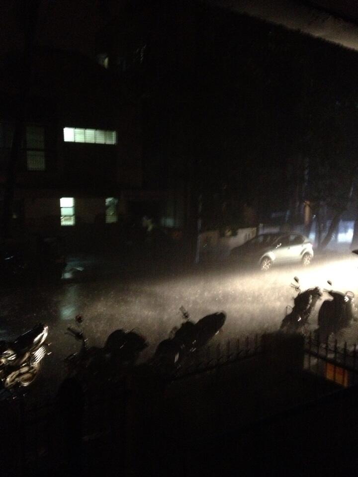
RT @naraharims: @sarkar_swati @KiranKS Heavy rain in bangalore http://t.co/yayxgTuql9 (7:34pm)

Belgaum, Bangalore, Hyderabad - rain

Belgaum - 5:55pm, "here in sambra airport belgaum .its raining with hailstorms from 5pm"

RT @uzair432: rain in hyderabad can be seen in radar.Secunderabad malkajgiri moula ali witnessing heavy rain http://t.co/fTbrOWnHC4 (6:09pm)


RT @barkat78: Hyderabad public school begumpet. Rain in hyderabad http://t.co/9klQCktebt (6:05pm)


RT @nishanthsanjay: 1st of the Summer Showers 


#rain #Bangalore #summer #showers #feelsbrilliant #instavid http://t.co/9SItFOTVFl (6:36pm)


RT @bangalorebhumi: #Bangalore dark #clouds  #thunder #lightning. Will it wont it, . #rain strong winds People rushing home! (6:42pm)

3pm, T showers seen over S Madhyapradesh, W,central Chatisgarh, N-E, S,S-central Andhra, S,S-W Maharastra ... http://ow.ly/i/5booS 
3pm, T showers also seen over N,N-Central Tamilnadu and S-central,N Karnataka ... http://ow.ly/i/5booS


3:40pm, #Chennai RADAR shows ...
T showers over 70 / 80km N-W from city and into S Andhra ... http://ow.ly/i/5box5 

These T showers over Andhra, N,N-central Tamilnadu are due to low-level trough from central Maharastra to S Tamilnadu http://ow.ly/i/5boGb 
#HOT at 3:10pm,
Ahmedabad, Nagpur = 40 C
Thiruchirapalli = 39 C
Hyderabad = 38 C

At 3pm,
#Chennai = 35 C  (feels like 41.9 C)
#Bengaluru = 36 C  (feels like 36.3 C)

#HOT 40s of 8-Apr...
Rentachintala = 42.8 C
Kurnool = 41.7 C
Anantpur = 41.4 C
Bankura = 42 C

Rainfall till 8:30am today...
Kozhikode (Kerala) = 75 mm
Mangalore = 13 mm

Tuesday, April 08, 2014

@being_delhite >> :-) A very small chance of Rain for S-W,W suburbs of #Chennai on 10-Apr !!
N-E states rainfall till 8:30am, 8-Apr :: (cm)
Khowai=6 cm
Barpathar = 5 cm
Chaparmukh, Mokokchung , A D Nagar & Chhamonu = 4 cm
Agartala & Kiphire = 3 cm
Silchar, Kampur, Lakhipur & Dholai, Mangaldoi(AWS) , Gokulpur (AWS) & Jharnapani(AWS)= 2 cm
Rangia, Numaligarh,Puthimari, Nongpho, Kajalgaon(AWS)Churachandpur(AWS), Thoubal (AWS),Mamit & Kamalpur(AWS)= 1 cm

Low-level N-S trough from N Bengal to N Bay persists... and expected to do so during next 2 days ... http://ow.ly/i/5aP4n 
Scattered T showers expected to persist over N,central zones of N-E states during next 2 days ... http://ow.ly/i/5aP8Q 

More rain ahead for Kerala, S Tamilnadu till 10-Apr


A good low-level circulation is expected over central,N-W Andhra, N-E,E Karnataka tomorrow ... http://ow.ly/i/5aNVi 
And a low-level trough is expected to drop from Central, N-W Andhra circulation upto S Tamilnadu, Gulf Mannar ... http://ow.ly/i/5aO5S 

The low-level trough upto S Tamilnadu, S Kerala is expected to persist till 10-Apr ... so more rain ahead for these zones !
Tomorrow, T showers expected over central, N-E Andhra, S,central Odisha and isolated over S Karnataka and S Andhra.. http://ow.ly/i/5aOnf 
Heavy T showers to continue over S,central,N-central, W-ghats Kerala on 9,10-Apr ... http://ow.ly/i/5aOup 
On 10-Apr, T showers expected into S Karnataka, N,N-W Tamilnadu and along W,N-W Andhra as well ... http://ow.ly/i/5aOup

Next W.D is expected to reach N,N-W India on 12-Apr ... http://ow.ly/i/5aKZm 

Day temperature over most of #India is expected to go above 35 C from 10-Apr... From 12-Apr, 40s expected over N-W http://ow.ly/i/5aLfO