Friday, August 08, 2014

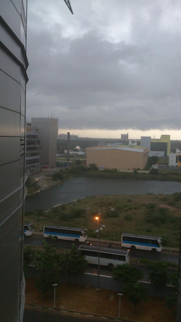
#Chennai - T shower 4:55pm - report, photos


#Chennai - 4:55pm, A line of T shower is sweeping from W-N-W from North of city to around 90km S-W from city... http://ow.ly/i/6uC5a 
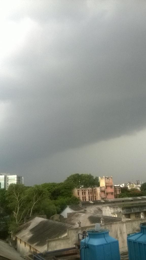


RT @naveenkumars84: Massive Dark Clouds near Gemini Flyover #Chennai @weatherofindia http://t.co/LBFQFVBNeD (5:07pm)
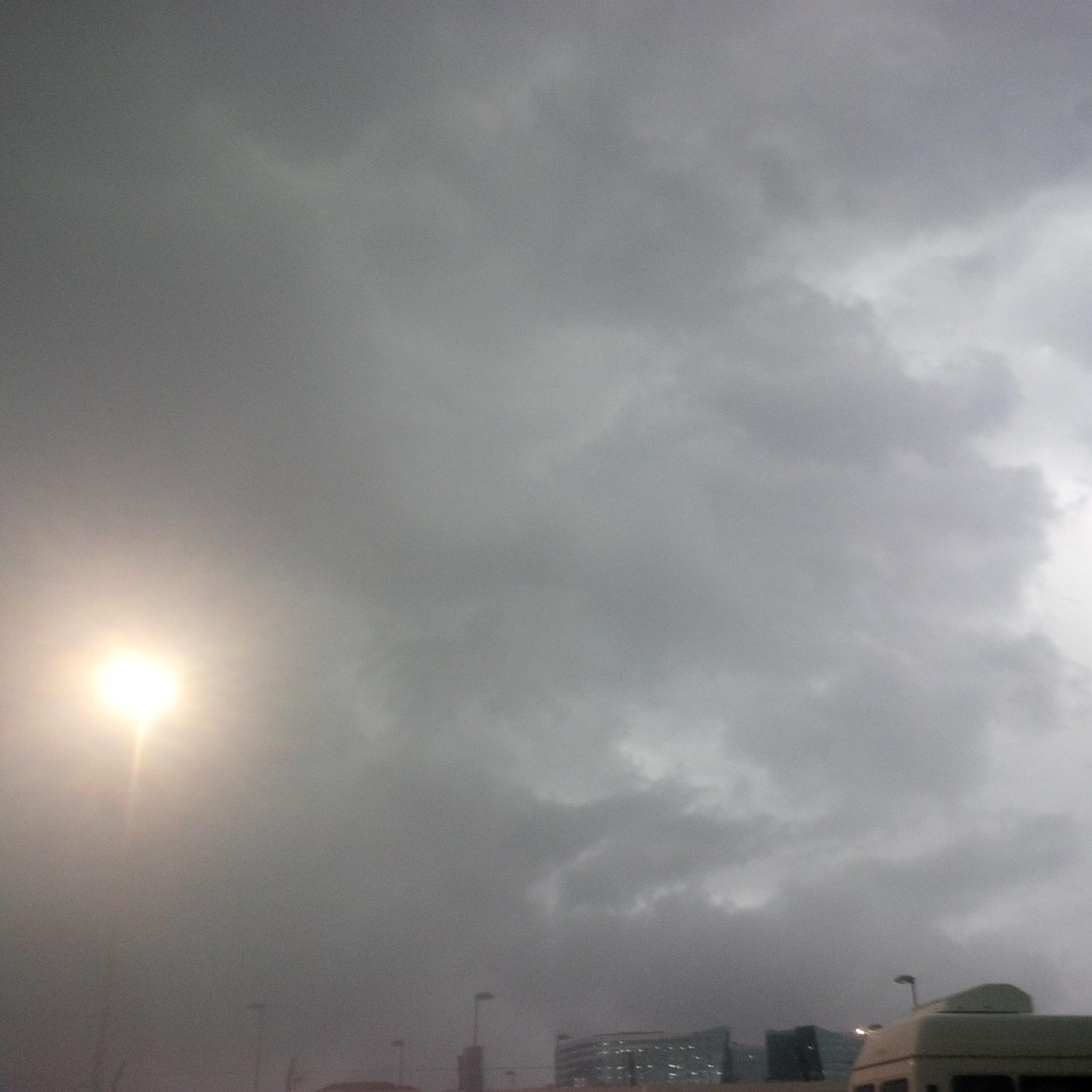


vipinkumar_g Aug 08, 5:52pm via Twitter for BlackBerry
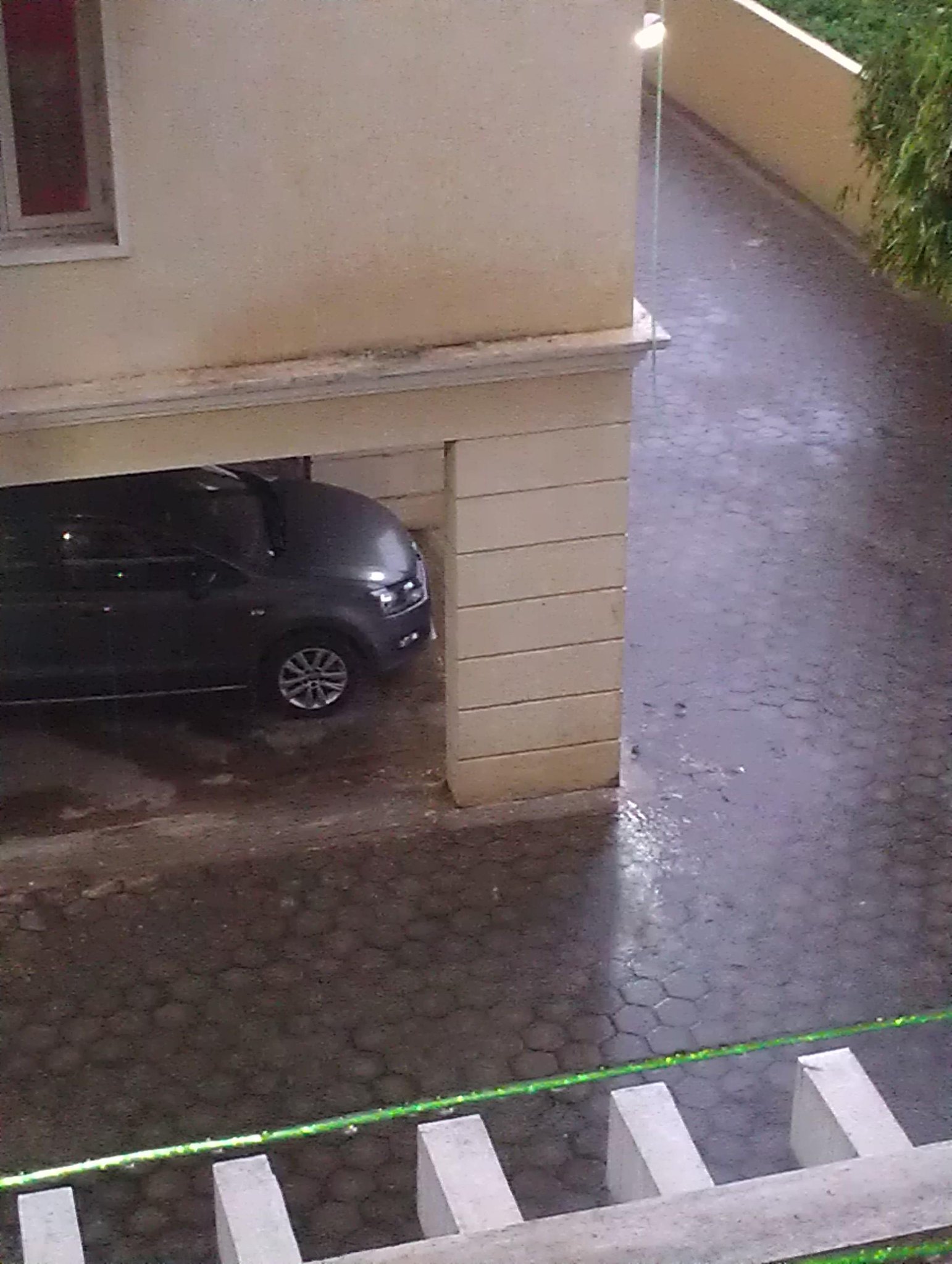
@weatherofindia clouds in OMR, Chennai @ 5.45pm....it has started heavily raining now. pic.twitter.com/uQD4FcNFmx

@weatherofindia raining heavy in Besant Nagar #Chennai also

Anna nagar, #Chennai too...


@weatherofindia : 5.55pm : good consistent rainfall #Pallikaranai # Chennai pic.twitter.com/JZRysTp11Z


#Chennai - 7:15pm, Still heavy drizzle continue over some places in city, suburbs.
More long drizzle ahead till 9pm. http://ow.ly/i/6uHRy 
#Chennai rain, sign of upper-level circulation formation near coast over West Bay !

3:30pm, HEAVY rain again over Odisha, heavy rain also into S,central Jharkhand, S,W Bengal, N-E,E Bihar ... http://ow.ly/i/6uA1I 
3:30pm, http://ow.ly/i/6uA1I .... Heavy rain over Kerala and moderate rain over S tip Tamilnadu from morning.
T showers over S Tamilnadu.

Today a low,mid,upper-level circulation has popped over N Bay near to S Bengal coast ... http://ow.ly/i/6uvEr 
The N Bay upper-level circulation is expected to drift West into Odisha and weaken in next 36hrs.!
Meanwhile, the low,mid-level circulation is expected to drift N-N-W into Bengal and Bihar in next 48hrs... http://ow.ly/i/6uvJZ 

GFS model continues to predict a upper-level circulation along #Chennai coast in next 36 to 48hrs ... http://ow.ly/i/6uvW9 

Today, the remnant of N Madhyapradesh circulation is persisting along N,N-E MP and S-W Uttarpradesh ... http://ow.ly/i/6uw6t 
This N Madhyapradesh circulation is expected to drift into central Uttarpradesh and fizzle out in 36hrs !

Thursday, August 07, 2014

Weather Instagram at August 07, 2014 at 03:44PM

#chennai - 2:22pm, 95% high cloud cover continue. Warm and humid. Showers after 6pm. #weather


from Instagram

Today, tomorrow - There's a 30% chance of scattered light / moderate rain for S Karnataka, Bangalore.

Evening,late-evening - Scattered Moderate rain expected over #Chennai, N-W,N-E,N-central coast,central-coast Tamilnadu on Today and 8-Aug.
Belgaum - 11am, "Heavy rain continue"

#Chennai - Yesterday evening light rain...
Nungambakkam = 8.6mm
Airport = 6.3mm
IWM Polichalur = 6.3mm
"Now its 90% cloudy"

Today, the upper-level circulation persists along S,S-E Rajasthan and W,N-W Madhyapradesh ... http://ow.ly/i/6tI7z 
An upper-level circulation seen over central, N-E Bay ... http://ow.ly/i/6tI7z

Present central-Bay 500hpa circulation is expected to drift to #Chennai coast over Bay in 36hrs and may persist ... http://ow.ly/i/6tIb4 
In 24hrs, an upper-level circulation is expected along S Gujarat coast, N-Maharastra coast ... http://ow.ly/i/6tIb4

Present low-level circulation over N-central Madhyapradesh may drift into central Uttarpradesh, then weaken in 42hrs http://ow.ly/i/6tIdR 
NO North Bay LOW or low,mid-level circulation expected till 11/12-Aug. !

11am, HEAVY convective activity seen over central,N,N-E,S-central Bay due to presence of upper-level circulation .. http://ow.ly/i/6tIfV 
11am, Showers continue along Karnataka coast, N,central Kerala ... http://ow.ly/i/6tIfV
11am, Due to circulation over S-E Rajasthan, N-W Madhyapradesh.. rain seen over S,S-W,S-central Rajasthan.!

Wednesday, August 06, 2014

SWM revival

[a] The POWER SOURCE is in exact normal location with strength 1032hPa.

[b] The previous position results in wet weather in northern parts of India above 15 Degree North latitude

[c] The current position may witness rainfall activity below 15 Degree North Parallel for the nest two or three days.  

[d] Mid tropospheric level or medium level clouds formation may ensure moisture [even over Tamilnadu and this is not spill over] and rainfall over southern peninsula.

Weather Instagram at August 06, 2014 at 06:48PM

#chennai - 6:45pm, Chromepet ... Showers approaching from west. #weather


from Instagram


RT @rajugana: Aug 1st @ Sabarimala - Niraputhari fete, harvest festival.. bank to bank water at Sacred River Pamba. http://ow.ly/i/6sUDF 


RT @rajugana:  Monsoon magic -Temple Madhyarangam @ Mandya on 3rd Aug- dark clouds covering the temple Gopuram ! pic http://ow.ly/i/6sUIY 


RT @rajugana: Bangalore 9.30am, Dark passing clouds, windy and still awaiting for real monsoon rains...a pic http://ow.ly/i/6sUQd 
Today as well, scattered moderate rain expected over S Karnataka, #Bangalore, N,N-E Tamilnadu, #Chennai and along N-central coast Tamilnadu

#Chennai - 4:20pm, Having 80% cloud cover from morning with Sun peeking out at times.
Hot at 36 C.

An upper-level circulation may push near to #Chennai coast on 8-Aug... More rain possible ... http://ow.ly/i/6t47O 
But WRF model suggests that upper-level circulation is expected over W-central Bay on 8-Aug ... http://ow.ly/i/6t4bA