Presentation of temp in graph which shows the temp behavior for April 2014 ! Please click on above image for better view..
This year, April was warmer than normal & 40c plus temp was recorded for 6 times in Badlapur..
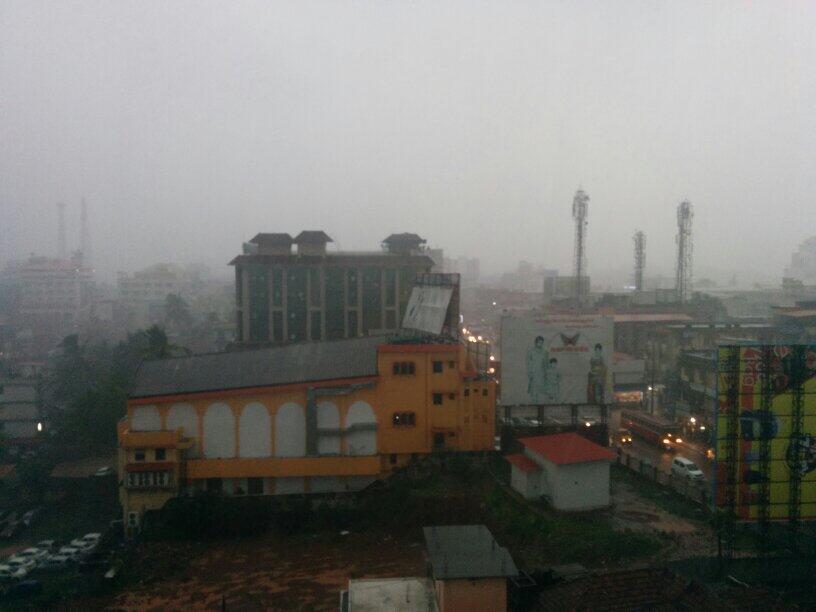
RT @sangymangi: @weatherofindia Heavy rain with thunder for the last 20 mins in Madurai, Tamilnadu. (4:45pm) #Madurai rain near #Arasaradi devagi hospital ..
RT @cheeku_n: Massive rains in Kottayam #wishthisischennai @weatherofindia http://t.co/ibVA84EiIV (4:23pm)
2:30pm, T showers seen over S,S-E Tamilnadu, S.central Kerala, S Maharastra ... http://ow.ly/i/5pmtK
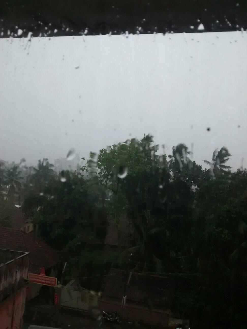
RT @bijunarayan: Rain on my window.... #Trivandrum http://t.co/auiN5ILfHN (1:34pm) RT @markiv_in: @weatherofindia Rains just stopped in Trivandrum (3:09pm) Nagercoil (S Tamilnadu) - 1:25pm, "T showers for past 30 min"
Analysis show a very-low-level circulation over N-N-E Madyapradesh and its trough seen upto N-central Maharastra to S Tamilnadu. At 850hpa levels, trough seen from E Madhyapradesh to S,S-S-W Maharastra and to N-W Karnataka ... http://ow.ly/i/5piUQ Today, a circulation seen over Gulf Mannar along S tip Tamilnadu ... http://ow.ly/i/5piUQ And expected to persist.. http://ow.ly/i/5piYf A low-level circulation seen over N Bangladesh, N Bengal... and trough seen South to N Bay ... http://ow.ly/i/5pj1f
In Next 2 days, low-level circulation expected over Bihar and its trough to run thru N Chatisgarh, E Maharastra, N,N-W Andhra to Gulf Mannar Meanwhile, the Gulf Mannar , S tip Tamilnadu circulation is also expected to persist during next 2 / 3 days ... http://ow.ly/i/5pjbr Today, before midnight T showers expected over S,W Tamilnadu, S,central,N, W-ghats Kerala ... http://ow.ly/i/5pm5C Before midnight, T showers also expected for S,S-W,N,N-W,N-E Karnataka, N,N-central,N-E Andhra, S,S-W Maharastra ... http://ow.ly/i/5pm9j Heavy, scattered T showers to continue over N,N-central,E Bangladesh, N Bengal, Sikkim into N,central N-E states.! T showers also expected along central,S W-ghats, W Maharastra during next 24hrs !
#HOT at 12:30pm... "HOT Everywhere" Lucknow = 43 C Varanasi = 42C Nagpur = 41C Ahmedabad, Jaipur, Amristar = 40 C Patna = 38 C Some #HOT cities at 12:30pm... #Delhi = 41 C Hyderabad = 38 C #kolkata = 37 C #Chennai, #Bengaluru = 36 C #Mumbai = 32 C Temperature anomaly from 20-Apr to 26-Apr shows, LESS heat over N-W,central, S-Peninsula India ... http://ow.ly/i/5pipi
Super #HOT 40s on 29-Apr... Ganganagar = 44.2 C Bikaner = 44 C Hissar = 42.7C Jaipur = 43 C Barmer = 46.8 C Ahmedabad = 42.9 C .... Super #HOT 40s on 29-Apr... Rajkot = 42.7 C Jamshedpur = 42.8 C Akola = 44.5 C Nizamabad = 43C Rentachintala = 44.2 C Anantapur = 42.2 C
Belgaum - 3:43pm, Heavy Rain now at Belgaum Airport from past 20 minutes :)
RT @GiriSubu: Mumbai heat and humidity is unbearable..where is the summer rain..phewwww!!! @weatherofindia
Sunday, April 27, 2014
Monsoon Watch - 3.. 2014 ....Part 1....27th April 2014 1. ENSO: Subsequent to writing the MW-2, we are keeping a carefull watch on the El-Nino developments. the Sub Surface Sea temeperatures in the Nino 3.4 and other regions have been constantly warming up since end February. The next logical sequence is the warm waters rising to surface, heat up the Sea surface temperatures, and then effect the trade winds. But, against much over reaction on the El Nino, we see the warming taMonsoon Watch -3 ..Published in Vagaries... http://www.vagaries.in/2014/04/monsoon-watch-3.htmlking its own time. Does not seem to be happening at a faster rate or in a hurried manner. The last 2 weeks heating ( Nino 3.4) shows a very nominal warming up, of 0.23c. The analytical point to be noted here: The anomally in February was below normal, while now with a rise, the anomally is near average. and Nino 1+2 has actually declined by 0.7c ! The most recent ONI value is -0.7c...(El Nino is characterised by ONI values of 0.5 or above, La Nina is characterised by -0.5 or below). So the ENSO conditions are still Neutral. May happen that an eventual El Nino, though unavoidable, may actually form full fledged ( around August) after the main months of our South West Monsoon have been done with. South West Monsoon may get sluggish ( In Peninsula) after July, around August and september. More in Monsoon Watch -3 ..Published in Vagaries... http://www.vagaries.in/2014/04/monsoon-watch-3.html